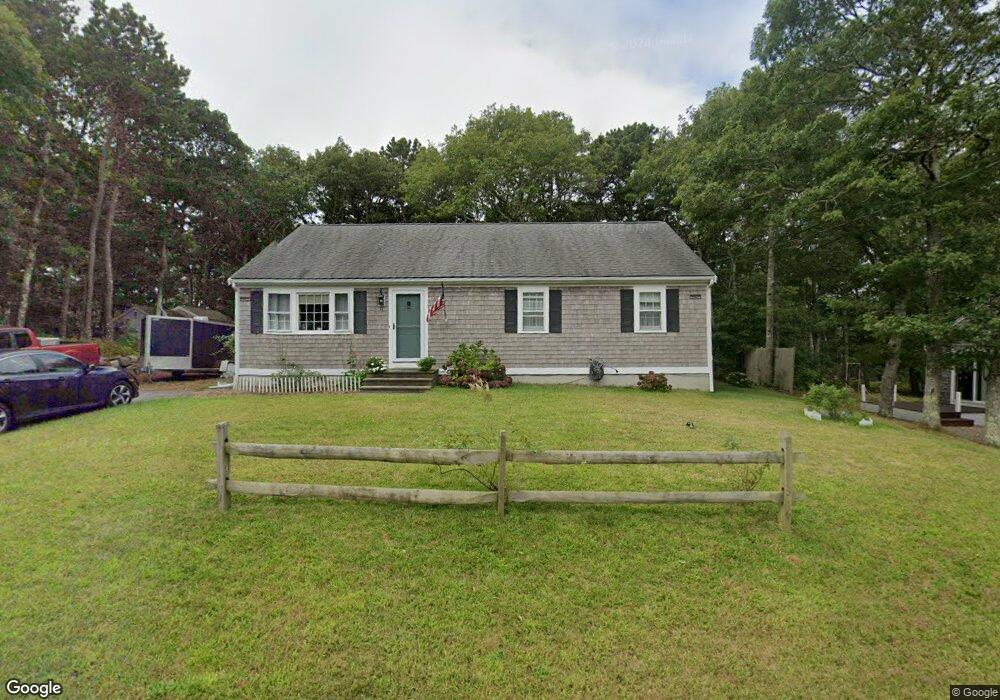
17 Rhine Rd Yarmouth Port, MA 02675
Yarmouth Port NeighborhoodEstimated Value: $390,000 - $518,000
3
Beds
2
Baths
1,232
Sq Ft
$354/Sq Ft
Est. Value
About This Home
This home is located at 17 Rhine Rd, Yarmouth Port, MA 02675 and is currently estimated at $435,666, approximately $353 per square foot. 17 Rhine Rd is a home located in Barnstable County with nearby schools including Dennis-Yarmouth Regional High School and St. Pius X. School.
Ownership History
Date
Name
Owned For
Owner Type
Purchase Details
Closed on
Jun 3, 2016
Sold by
Kashi Nayrah B and Kashi Nadia N
Bought by
Oconnor Jill B
Current Estimated Value
Home Financials for this Owner
Home Financials are based on the most recent Mortgage that was taken out on this home.
Original Mortgage
$130,000
Outstanding Balance
$103,533
Interest Rate
3.59%
Mortgage Type
New Conventional
Estimated Equity
$332,133
Purchase Details
Closed on
Sep 7, 1990
Sold by
Dacey William E
Bought by
Kashi Seyed B
Home Financials for this Owner
Home Financials are based on the most recent Mortgage that was taken out on this home.
Original Mortgage
$80,600
Interest Rate
9.83%
Mortgage Type
Purchase Money Mortgage
Create a Home Valuation Report for This Property
The Home Valuation Report is an in-depth analysis detailing your home's value as well as a comparison with similar homes in the area
Home Values in the Area
Average Home Value in this Area
Purchase History
| Date | Buyer | Sale Price | Title Company |
|---|---|---|---|
| Oconnor Jill B | $180,831 | -- | |
| Kashi Seyed B | $84,900 | -- |
Source: Public Records
Mortgage History
| Date | Status | Borrower | Loan Amount |
|---|---|---|---|
| Open | Oconnor Jill B | $130,000 | |
| Previous Owner | Kashi Seyed B | $80,600 |
Source: Public Records
Tax History Compared to Growth
Tax History
| Year | Tax Paid | Tax Assessment Tax Assessment Total Assessment is a certain percentage of the fair market value that is determined by local assessors to be the total taxable value of land and additions on the property. | Land | Improvement |
|---|---|---|---|---|
| 2025 | $1,280 | $180,800 | $140,300 | $40,500 |
| 2024 | $1,334 | $180,800 | $147,800 | $33,000 |
| 2023 | $1,466 | $180,800 | $131,800 | $49,000 |
| 2022 | $1,660 | $180,800 | $118,600 | $62,200 |
| 2021 | $1,728 | $180,800 | $118,600 | $62,200 |
| 2020 | $1,808 | $180,800 | $118,600 | $62,200 |
| 2019 | $1,826 | $180,800 | $118,600 | $62,200 |
| 2018 | $1,860 | $180,800 | $56,100 | $124,700 |
| 2017 | $2,019 | $201,500 | $62,800 | $138,700 |
| 2016 | $1,954 | $195,800 | $57,100 | $138,700 |
| 2015 | $1,845 | $183,800 | $57,100 | $126,700 |
Source: Public Records
Map
Nearby Homes
- 16 Warren Rd Unit 16
- 16 Warren Rd
- 32 Deveau Ln
- 40 Deveau Ln
- 8 Rowley Ln
- 209 Union St
- 0 Forsyth Ave
- 68 Seminole Dr
- 30 Quartermaster Row
- 14 Many Oaks Cir
- 33 Sparrow Way
- 72 Quartermaster Row
- 17 Trowbridge Path
- 176 Beacon St
- 50 Cottonwood St
- 882 W Yarmouth Rd
- 76 Captain Chase Rd
- 1 Hamblin Hill
- 105 Webbers Path
- 49 Captain Besse Rd