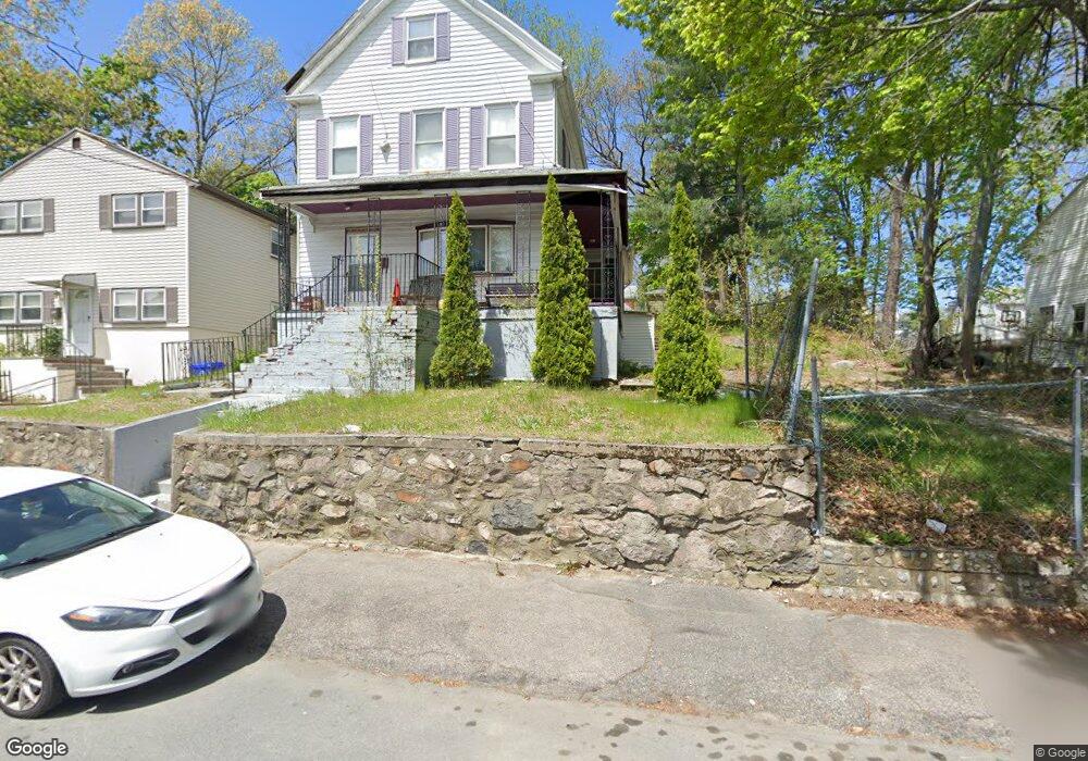
17 Richmere Rd Mattapan, MA 02126
Southern Mattapan NeighborhoodEstimated Value: $656,000 - $718,424
3
Beds
3
Baths
1,630
Sq Ft
$419/Sq Ft
Est. Value
About This Home
This home is located at 17 Richmere Rd, Mattapan, MA 02126 and is currently estimated at $682,356, approximately $418 per square foot. 17 Richmere Rd is a home located in Suffolk County with nearby schools including KIPP Academy Boston Charter School, Boston Preparatory Charter Public School, and Berea Seventh-day Adventist Academy.
Ownership History
Date
Name
Owned For
Owner Type
Purchase Details
Closed on
Sep 23, 2004
Sold by
Logan Ann M and Logan Paul E
Bought by
Austin Lakisha R
Current Estimated Value
Home Financials for this Owner
Home Financials are based on the most recent Mortgage that was taken out on this home.
Original Mortgage
$297,600
Outstanding Balance
$147,536
Interest Rate
5.89%
Mortgage Type
Purchase Money Mortgage
Estimated Equity
$534,820
Purchase Details
Closed on
Mar 11, 1998
Sold by
Logan Paul E
Bought by
Logan Ann M
Purchase Details
Closed on
Jun 28, 1991
Sold by
Davis Headley N and Davis Ena A
Bought by
Logan Paul E and Logan Ann M
Create a Home Valuation Report for This Property
The Home Valuation Report is an in-depth analysis detailing your home's value as well as a comparison with similar homes in the area
Home Values in the Area
Average Home Value in this Area
Purchase History
| Date | Buyer | Sale Price | Title Company |
|---|---|---|---|
| Austin Lakisha R | $372,000 | -- | |
| Logan Ann M | $116,000 | -- | |
| Logan Paul E | $118,500 | -- |
Source: Public Records
Mortgage History
| Date | Status | Borrower | Loan Amount |
|---|---|---|---|
| Open | Logan Paul E | $297,600 | |
| Previous Owner | Logan Paul E | $165,000 | |
| Previous Owner | Logan Paul E | $225,000 | |
| Previous Owner | Logan Paul E | $174,000 |
Source: Public Records
Tax History Compared to Growth
Tax History
| Year | Tax Paid | Tax Assessment Tax Assessment Total Assessment is a certain percentage of the fair market value that is determined by local assessors to be the total taxable value of land and additions on the property. | Land | Improvement |
|---|---|---|---|---|
| 2025 | $7,291 | $629,600 | $178,000 | $451,600 |
| 2024 | $6,254 | $573,800 | $175,900 | $397,900 |
| 2023 | $5,868 | $546,400 | $167,500 | $378,900 |
| 2022 | $5,504 | $505,900 | $155,100 | $350,800 |
| 2021 | $4,966 | $465,400 | $147,700 | $317,700 |
| 2020 | $4,632 | $438,600 | $153,400 | $285,200 |
| 2019 | $4,447 | $421,900 | $118,300 | $303,600 |
| 2018 | $4,132 | $394,300 | $118,300 | $276,000 |
| 2017 | $3,830 | $361,700 | $118,300 | $243,400 |
| 2016 | $3,617 | $328,800 | $118,300 | $210,500 |
| 2015 | $3,374 | $278,600 | $93,300 | $185,300 |
| 2014 | $3,214 | $255,500 | $93,300 | $162,200 |
Source: Public Records
Map
Nearby Homes
- 839-843 Cummins Hwy
- 770 Cummins Hwy Unit 1
- 770 Cummins Hwy Unit 22
- 10 Brockton St
- 130 Greenfield Rd
- 90 Hollingsworth St
- 231 Itasca St
- 95 Woodhaven St
- 23 Caton St
- 9 Marcy Rd
- 645 River St
- 25 Alpine St Unit 7
- 25 Malta St
- 7 Winborough St
- 179 Hebron St
- 100 Itasca St
- 46 Oakwood St
- 20 Monterey Ave
- 72 Livermore St
- 60 and 64 Monterey Ave