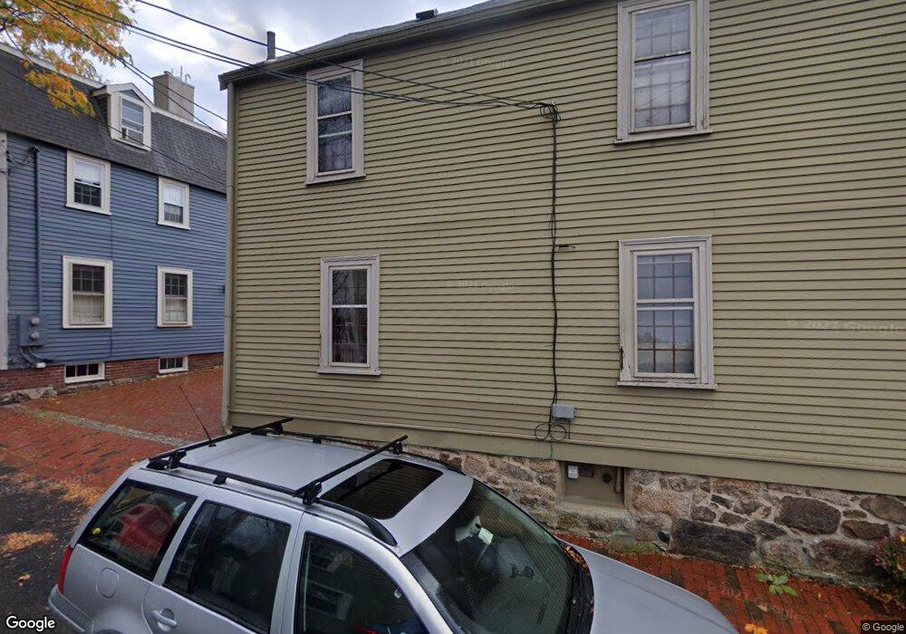
17 River St Salem, MA 01970
Downtown Salem NeighborhoodEstimated Value: $648,000 - $798,000
2
Beds
2
Baths
1,179
Sq Ft
$602/Sq Ft
Est. Value
About This Home
This home is located at 17 River St, Salem, MA 01970 and is currently estimated at $709,229, approximately $601 per square foot. 17 River St is a home located in Essex County with nearby schools including Carlton Elementary School, Saltonstall School, and Bates Elementary School.
Ownership History
Date
Name
Owned For
Owner Type
Purchase Details
Closed on
Jul 31, 1992
Sold by
No Shore Fincl Ser Inc
Bought by
Biebesheimer Fred C
Current Estimated Value
Purchase Details
Closed on
Mar 30, 1992
Sold by
Bush J Fred and Bush Carol
Bought by
North Shore Fincl Serv
Purchase Details
Closed on
Jul 17, 1991
Sold by
England Jacquelin P
Bought by
Brandt Larson William and Barbara Brandt
Create a Home Valuation Report for This Property
The Home Valuation Report is an in-depth analysis detailing your home's value as well as a comparison with similar homes in the area
Home Values in the Area
Average Home Value in this Area
Purchase History
| Date | Buyer | Sale Price | Title Company |
|---|---|---|---|
| Biebesheimer Fred C | $109,500 | -- | |
| North Shore Fincl Serv | $142,000 | -- | |
| Brandt Larson William | $107,000 | -- |
Source: Public Records
Mortgage History
| Date | Status | Borrower | Loan Amount |
|---|---|---|---|
| Open | Brandt Larson William | $218,000 | |
| Closed | Brandt Larson William | $165,000 |
Source: Public Records
Tax History
| Year | Tax Paid | Tax Assessment Tax Assessment Total Assessment is a certain percentage of the fair market value that is determined by local assessors to be the total taxable value of land and additions on the property. | Land | Improvement |
|---|---|---|---|---|
| 2025 | $7,269 | $641,000 | $233,000 | $408,000 |
| 2024 | $7,114 | $612,200 | $216,400 | $395,800 |
| 2023 | $7,068 | $565,000 | $199,700 | $365,300 |
| 2022 | $6,400 | $483,000 | $188,600 | $294,400 |
| 2021 | $6,567 | $475,900 | $188,600 | $287,300 |
| 2020 | $6,674 | $461,900 | $188,600 | $273,300 |
| 2019 | $6,575 | $435,400 | $183,100 | $252,300 |
| 2018 | $6,097 | $396,400 | $174,800 | $221,600 |
| 2017 | $5,955 | $375,500 | $158,100 | $217,400 |
| 2016 | $5,884 | $375,500 | $158,100 | $217,400 |
| 2015 | $5,766 | $351,400 | $147,000 | $204,400 |
Source: Public Records
Map
Nearby Homes
- 16 River St
- 23 River St
- 17 North St Unit 2
- 3 S Mason St
- 11 Summer St
- 289 Essex St Unit 211
- 38 Chestnut St
- 35 Flint St Unit 209
- 35 Flint St Unit 106
- 86 Flint St
- 112 North St
- 65 Washington St Unit 512
- 16 Franklin St Unit 2403
- 16 Franklin St Unit 1303
- 40 Buffum St Unit 2
- 40 Buffum St Unit 1
- 11 Church St Unit 203
- 11 Church St Unit 702
- 11 Church St Unit 703
- 22 Prescott St Unit 1
Your Personal Tour Guide
Ask me questions while you tour the home.