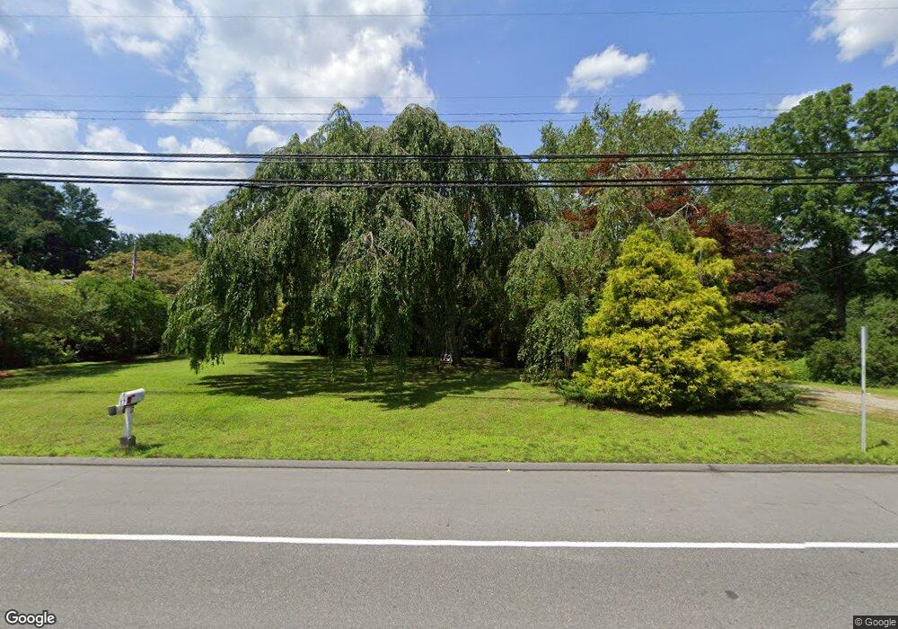
17 Route 165 Preston, CT 06365
Estimated Value: $293,557 - $337,000
3
Beds
1
Bath
1,040
Sq Ft
$305/Sq Ft
Est. Value
About This Home
This home is located at 17 Route 165, Preston, CT 06365 and is currently estimated at $317,639, approximately $305 per square foot. 17 Route 165 is a home located in New London County with nearby schools including Integrated Day Charter School, St. Joseph School, and St. Patrick Cathedral School.
Ownership History
Date
Name
Owned For
Owner Type
Purchase Details
Closed on
Feb 21, 2018
Sold by
Phh Mtg Corp
Bought by
Smith Stephen E
Current Estimated Value
Purchase Details
Closed on
Nov 15, 2017
Sold by
White James R
Bought by
Phh Mortgage Corp
Create a Home Valuation Report for This Property
The Home Valuation Report is an in-depth analysis detailing your home's value as well as a comparison with similar homes in the area
Home Values in the Area
Average Home Value in this Area
Purchase History
| Date | Buyer | Sale Price | Title Company |
|---|---|---|---|
| Smith Stephen E | $154,000 | -- | |
| Phh Mortgage Corp | -- | -- | |
| Smith Stephen E | $154,000 | -- | |
| Phh Mortgage Corp | -- | -- |
Source: Public Records
Tax History Compared to Growth
Tax History
| Year | Tax Paid | Tax Assessment Tax Assessment Total Assessment is a certain percentage of the fair market value that is determined by local assessors to be the total taxable value of land and additions on the property. | Land | Improvement |
|---|---|---|---|---|
| 2025 | $3,542 | $141,050 | $40,600 | $100,450 |
| 2024 | $3,296 | $141,050 | $40,600 | $100,450 |
| 2023 | $3,237 | $141,050 | $40,600 | $100,450 |
| 2022 | $2,699 | $96,800 | $33,200 | $63,600 |
| 2021 | $2,608 | $96,800 | $33,200 | $63,600 |
| 2020 | $2,604 | $96,800 | $33,200 | $63,600 |
| 2019 | $2,558 | $96,800 | $33,200 | $63,600 |
| 2018 | $2,520 | $96,800 | $33,200 | $63,600 |
| 2017 | $2,460 | $102,500 | $34,200 | $68,300 |
| 2016 | $2,434 | $102,500 | $34,200 | $68,300 |
| 2015 | $2,358 | $102,500 | $34,200 | $68,300 |
| 2014 | $2,372 | $102,500 | $34,200 | $68,300 |
Source: Public Records
Map
Nearby Homes
- 17 Daniel St
- 7 Carver Ave
- 79 Roosevelt Ave
- 59 Long Society Rd
- 63 Route 165
- 625 N Main St Unit 627
- 296 Hamilton Ave Unit 7
- 296 Hamilton Ave Unit 30
- 168 Corning Rd
- 4 Wilderness Acres
- 313 Central Ave
- 287 Central Ave
- 252 Prospect St Unit 254
- 197 Central Ave
- 188 Central Ave
- 180 Central Ave
- 435 Boswell Ave
- 556 Boswell Ave
- 607A Boswell Ave
- 17 Sylvester St
- 19 Shetucket Tnpke
- 17 Route 165
- 19 Route 165
- 19 Route 165
- 11 Route 165
- 23 Route 165
- 24 Route 165
- 9 Route 165
- 1 Route 165
- 5 Old Shetucket Turnpike
- 15 Long Society Rd
- 1 Long Society Rd
- 534 Hamilton Ave
- 23 Daniel St
- 23 Long Society Rd
- 26 Daniel St
- 5 Corning Rd
- 35 Long Society Rd
- 21 Daniel St
- 2 Corning Rd
