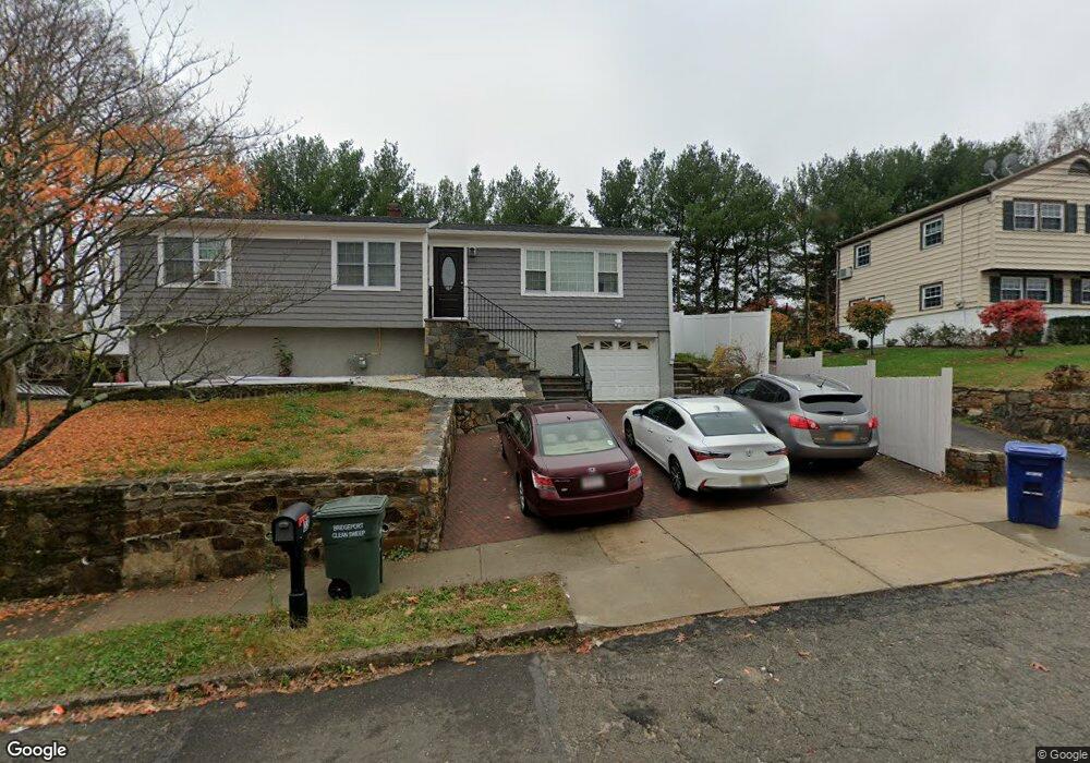
17 Roxbury Ln Bridgeport, CT 06606
North End NeighborhoodEstimated Value: $189,000 - $212,000
1
Bed
1
Bath
740
Sq Ft
$272/Sq Ft
Est. Value
About This Home
This home is located at 17 Roxbury Ln, Bridgeport, CT 06606 and is currently estimated at $201,001, approximately $271 per square foot. 17 Roxbury Ln is a home located in Fairfield County with nearby schools including John Winthrop School, Central High School, and St Andrew School.
Ownership History
Date
Name
Owned For
Owner Type
Purchase Details
Closed on
Mar 1, 2019
Sold by
Nocero Louis Jr Est
Bought by
Flanigan Virginia
Current Estimated Value
Home Financials for this Owner
Home Financials are based on the most recent Mortgage that was taken out on this home.
Original Mortgage
$89,786
Outstanding Balance
$78,937
Interest Rate
4.4%
Mortgage Type
Purchase Money Mortgage
Estimated Equity
$122,064
Purchase Details
Closed on
Jun 6, 2016
Sold by
Blake Pauline Est
Bought by
Nocero-Jru Louise
Create a Home Valuation Report for This Property
The Home Valuation Report is an in-depth analysis detailing your home's value as well as a comparison with similar homes in the area
Home Values in the Area
Average Home Value in this Area
Purchase History
| Date | Buyer | Sale Price | Title Company |
|---|---|---|---|
| Flanigan Virginia | $100,000 | -- | |
| Flanigan Virginia | $100,000 | -- | |
| Nocero-Jru Louise | $55,000 | -- | |
| Nocero-Jru Louise | $55,000 | -- |
Source: Public Records
Mortgage History
| Date | Status | Borrower | Loan Amount |
|---|---|---|---|
| Open | Nocero-Jru Louise | $89,786 | |
| Closed | Nocero-Jru Louise | $89,786 |
Source: Public Records
Tax History Compared to Growth
Tax History
| Year | Tax Paid | Tax Assessment Tax Assessment Total Assessment is a certain percentage of the fair market value that is determined by local assessors to be the total taxable value of land and additions on the property. | Land | Improvement |
|---|---|---|---|---|
| 2025 | $3,087 | $71,040 | $0 | $71,040 |
| 2024 | $3,087 | $71,040 | $0 | $71,040 |
| 2023 | $3,087 | $71,040 | $0 | $71,040 |
| 2022 | $3,087 | $71,040 | $0 | $71,040 |
| 2021 | $3,087 | $71,040 | $0 | $71,040 |
| 2020 | $3,006 | $55,670 | $0 | $55,670 |
| 2019 | $3,006 | $55,670 | $0 | $55,670 |
| 2018 | $3,027 | $55,670 | $0 | $55,670 |
| 2017 | $3,027 | $55,670 | $0 | $55,670 |
| 2016 | $3,027 | $55,670 | $0 | $55,670 |
| 2015 | $3,588 | $85,030 | $0 | $85,030 |
| 2014 | $3,588 | $85,030 | $0 | $85,030 |
Source: Public Records
Map
Nearby Homes
- 17 Teresa Place Unit 17
- 2800 Madison Ave Unit 1B
- 230 Cherry Hill Dr Unit 1A
- 230 Cherry Hill Dr Unit 2B
- 15 Cherry Hill Dr Unit 2A
- 2955 Madison Ave Unit 40
- 12 Riverview Dr Unit 12
- 69 Plankton St
- 81 Ameridge Dr
- 2998 Madison Ave Unit C
- 3989 Park Ave
- 129 Ashton St
- 225 Edgemoor Rd Unit H
- 9 Patricia Rd Unit C
- 495 Peet St
- 2346 Madison Ave
- 236 Edgemoor Rd Unit D
- 38 Enid St Unit B
- 419 Valley Rd
- 720 Queen St