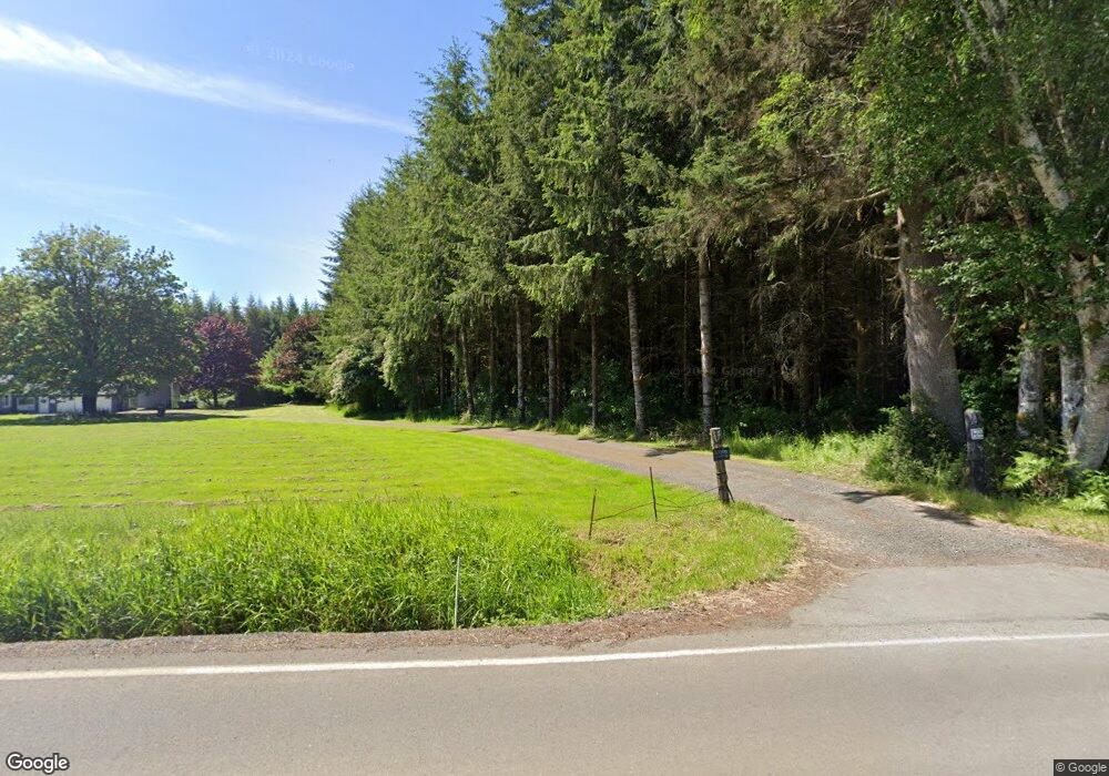
17 S Fork Rd Raymond, WA 98577
Estimated Value: $293,000 - $359,918
2
Beds
2
Baths
1,368
Sq Ft
$236/Sq Ft
Est. Value
About This Home
This home is located at 17 S Fork Rd, Raymond, WA 98577 and is currently estimated at $322,230, approximately $235 per square foot. 17 S Fork Rd is a home located in Pacific County with nearby schools including Willapa Elementary School and Willapa Valley Junior/Senior High School.
Ownership History
Date
Name
Owned For
Owner Type
Purchase Details
Closed on
Jul 31, 2013
Sold by
Bannish Matthew D and Bannish Karen R
Bought by
Shores Cameron and Shores Katy
Current Estimated Value
Home Financials for this Owner
Home Financials are based on the most recent Mortgage that was taken out on this home.
Original Mortgage
$88,685
Outstanding Balance
$43,161
Interest Rate
3.75%
Mortgage Type
Seller Take Back
Estimated Equity
$279,069
Purchase Details
Closed on
May 21, 2013
Sold by
Bannish Matthew D and Bannish Karen R
Bought by
Bannish Matthew D and Bannish Karen R
Purchase Details
Closed on
Feb 8, 2013
Sold by
Brumsickle Bill T
Bought by
Bannish Matthew D and Bannish Karen R
Create a Home Valuation Report for This Property
The Home Valuation Report is an in-depth analysis detailing your home's value as well as a comparison with similar homes in the area
Home Values in the Area
Average Home Value in this Area
Purchase History
| Date | Buyer | Sale Price | Title Company |
|---|---|---|---|
| Shores Cameron | $90,000 | Pacific County Title Co | |
| Bannish Matthew D | -- | None Available | |
| Bannish Matthew D | $130,000 | Pacific County Title Co |
Source: Public Records
Mortgage History
| Date | Status | Borrower | Loan Amount |
|---|---|---|---|
| Open | Shores Cameron | $88,685 |
Source: Public Records
Tax History Compared to Growth
Tax History
| Year | Tax Paid | Tax Assessment Tax Assessment Total Assessment is a certain percentage of the fair market value that is determined by local assessors to be the total taxable value of land and additions on the property. | Land | Improvement |
|---|---|---|---|---|
| 2025 | $2,250 | $311,500 | $116,500 | $195,000 |
| 2024 | $2,250 | $311,500 | $116,500 | $195,000 |
| 2023 | $2,281 | $282,100 | $94,600 | $187,500 |
| 2022 | $2,313 | $222,800 | $72,800 | $150,000 |
| 2021 | $1,869 | $201,800 | $75,900 | $125,900 |
| 2020 | $2,099 | $176,500 | $70,300 | $106,200 |
| 2019 | $1,818 | $152,400 | $61,900 | $90,500 |
| 2018 | $2,006 | $134,900 | $56,200 | $78,700 |
| 2017 | $1,870 | $134,900 | $56,200 | $78,700 |
| 2015 | $1,428 | $134,900 | $56,200 | $78,700 |
| 2014 | -- | $95,400 | $36,200 | $59,200 |
Source: Public Records
Map
Nearby Homes
- 1024 State Route 6
- 0 xxx Rue Creek Rd
- 125 Mill Creek Rd
- 47 Alexander Rd
- 0 X Lilly Wheaton Rd
- 2001 Heckard Rd
- 1655 Wheaton St
- 2900 Mallis Landing Rd
- 1470 Armstrong St
- 0 Clement Rd Unit NWM2437075
- 0 Willapa Rd
- 948 Cole Ave
- 17 Goldau Rd
- 257 State Route 6
- 0 x2 Oxbow Rd
- 0 x3 Oxbow Rd
- 0 x4 Oxbow Rd
- 0 X1 Oxbow Rd
- 0 X Willapa Rd
- 1851 Bloomhardt Rd
- 0 S Fork Ln Unit 832766
- 0 S Fork Ln Unit 1204673
- 0 S Fork Ln Unit 952461
- 0 S Fork Ln Unit 29042911
- 0 S Fork Ln Unit 29042894
- 0 S Fork Rd
- 0 S Fork Ln Unit 1977164
- 0 S Fork Ln Unit 16130273
- 0 S Fork Ln Unit 19656083
- 0 S Fork Ln Unit 1435686
- 1 S South Fork Rd S
- 882 State Route 6
- 885 State Route 6
- 49 S Fork Rd
- 931 State Route 6
- 812 State Route 6
- 28 Maple Leaf St
- 17 Maple Leaf St
- 25 Maple Leaf St
- 21 Maple Leaf St
