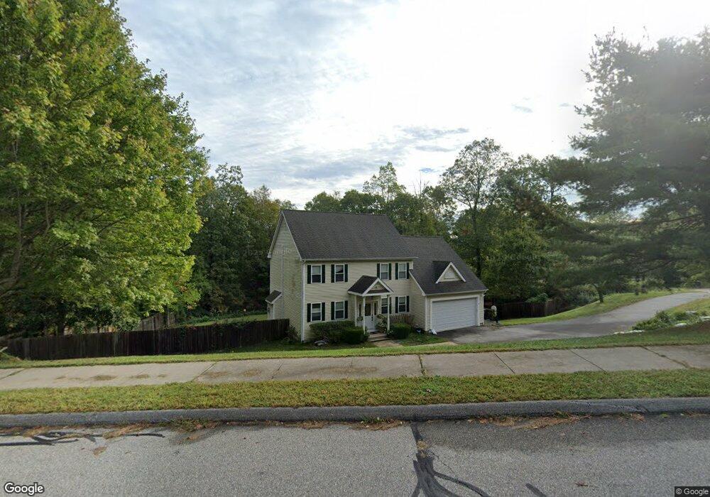
17 Sable Dr Ledyard, CT 06339
Estimated Value: $571,065 - $610,000
4
Beds
3
Baths
2,380
Sq Ft
$251/Sq Ft
Est. Value
About This Home
This home is located at 17 Sable Dr, Ledyard, CT 06339 and is currently estimated at $597,766, approximately $251 per square foot. 17 Sable Dr is a home located in New London County with nearby schools including Ledyard Middle School and Ledyard High School.
Ownership History
Date
Name
Owned For
Owner Type
Purchase Details
Closed on
Apr 5, 2006
Sold by
Grs Prop Llc
Bought by
Carvalho Anthony J and Carvalho Rose
Current Estimated Value
Home Financials for this Owner
Home Financials are based on the most recent Mortgage that was taken out on this home.
Original Mortgage
$365,400
Outstanding Balance
$208,769
Interest Rate
6.26%
Estimated Equity
$388,997
Purchase Details
Closed on
Jun 21, 2001
Sold by
Mt Holdings Llc
Bought by
Grs Llc
Home Financials for this Owner
Home Financials are based on the most recent Mortgage that was taken out on this home.
Original Mortgage
$291,292
Interest Rate
7.09%
Create a Home Valuation Report for This Property
The Home Valuation Report is an in-depth analysis detailing your home's value as well as a comparison with similar homes in the area
Home Values in the Area
Average Home Value in this Area
Purchase History
| Date | Buyer | Sale Price | Title Company |
|---|---|---|---|
| Carvalho Anthony J | $360,000 | -- | |
| Grs Llc | $425,000 | -- |
Source: Public Records
Mortgage History
| Date | Status | Borrower | Loan Amount |
|---|---|---|---|
| Open | Grs Llc | $365,400 | |
| Previous Owner | Grs Llc | $320,000 | |
| Previous Owner | Grs Llc | $291,292 |
Source: Public Records
Tax History
| Year | Tax Paid | Tax Assessment Tax Assessment Total Assessment is a certain percentage of the fair market value that is determined by local assessors to be the total taxable value of land and additions on the property. | Land | Improvement |
|---|---|---|---|---|
| 2025 | $8,683 | $233,800 | $59,010 | $174,790 |
| 2024 | $8,205 | $233,030 | $59,010 | $174,020 |
| 2023 | $8,054 | $233,030 | $59,010 | $174,020 |
| 2022 | $7,881 | $233,030 | $59,010 | $174,020 |
| 2021 | $7,830 | $233,030 | $59,010 | $174,020 |
| 2020 | $7,985 | $228,340 | $63,770 | $164,570 |
| 2019 | $8,006 | $228,340 | $63,770 | $164,570 |
| 2018 | $7,830 | $228,340 | $63,770 | $164,570 |
| 2017 | $7,430 | $228,340 | $63,770 | $164,570 |
| 2016 | $7,284 | $228,340 | $63,770 | $164,570 |
| 2015 | $6,942 | $228,340 | $63,770 | $164,570 |
| 2014 | $7,352 | $241,430 | $68,460 | $172,970 |
Source: Public Records
Map
Nearby Homes
- 1866 Center Groton Rd
- 497 Colonel Ledyard Hwy
- 26 Quakertown Meadows
- 459 Colonel Ledyard Hwy
- 675 Colonel Ledyard Hwy
- 155 Lambtown Rd
- 14 Pennywise Ln
- 1661 Center Groton Rd
- 27 Marty's Way
- 25 Marty's Way
- 18 Marty's Way
- 27 Highland Dr
- 4 Amber Cir
- 4 Whalehead Rd
- 62 Highland Dr
- 69 Wendell Comrie Rd
- 115 Meeting House Ln
- 15 Country Club Dr
- 777 Shewville Rd
- 34 Country Club Dr
Your Personal Tour Guide
Ask me questions while you tour the home.