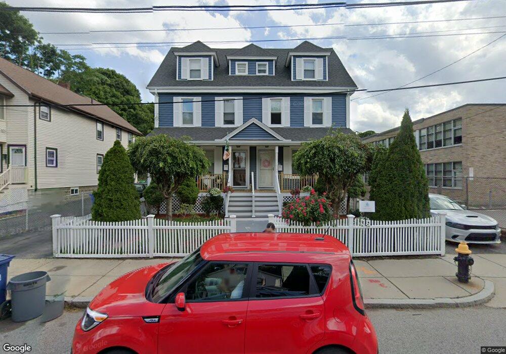
17 Safford St Unit 19 Hyde Park, MA 02136
Hyde Park NeighborhoodEstimated Value: $941,000 - $1,090,000
10
Beds
2
Baths
3,309
Sq Ft
$307/Sq Ft
Est. Value
About This Home
This home is located at 17 Safford St Unit 19, Hyde Park, MA 02136 and is currently estimated at $1,017,222, approximately $307 per square foot. 17 Safford St Unit 19 is a home located in Suffolk County with nearby schools including Boston Preparatory Charter Public School and New Beginnings Academy.
Ownership History
Date
Name
Owned For
Owner Type
Purchase Details
Closed on
Jan 17, 2007
Sold by
Letts Jullite
Bought by
Letts Julitte and Letts Ronald
Current Estimated Value
Home Financials for this Owner
Home Financials are based on the most recent Mortgage that was taken out on this home.
Original Mortgage
$460,000
Outstanding Balance
$273,823
Interest Rate
6.14%
Mortgage Type
Purchase Money Mortgage
Estimated Equity
$743,399
Create a Home Valuation Report for This Property
The Home Valuation Report is an in-depth analysis detailing your home's value as well as a comparison with similar homes in the area
Home Values in the Area
Average Home Value in this Area
Purchase History
| Date | Buyer | Sale Price | Title Company |
|---|---|---|---|
| Letts Julitte | -- | -- |
Source: Public Records
Mortgage History
| Date | Status | Borrower | Loan Amount |
|---|---|---|---|
| Open | Letts Julitte | $460,000 |
Source: Public Records
Tax History
| Year | Tax Paid | Tax Assessment Tax Assessment Total Assessment is a certain percentage of the fair market value that is determined by local assessors to be the total taxable value of land and additions on the property. | Land | Improvement |
|---|---|---|---|---|
| 2025 | $10,290 | $888,600 | $296,400 | $592,200 |
| 2024 | $9,535 | $874,800 | $307,300 | $567,500 |
| 2023 | $8,390 | $781,200 | $274,400 | $506,800 |
| 2022 | $7,867 | $723,100 | $254,000 | $469,100 |
| 2021 | $7,564 | $708,900 | $249,000 | $459,900 |
| 2020 | $5,691 | $538,900 | $244,000 | $294,900 |
| 2019 | $5,570 | $528,500 | $181,700 | $346,800 |
| 2018 | $5,034 | $480,300 | $181,700 | $298,600 |
| 2017 | $4,844 | $457,400 | $181,700 | $275,700 |
| 2016 | $4,414 | $401,300 | $181,700 | $219,600 |
| 2015 | $4,433 | $366,100 | $129,900 | $236,200 |
| 2014 | $4,187 | $332,800 | $129,900 | $202,900 |
Source: Public Records
Map
Nearby Homes
- 19 Melba Way
- 519 Metropolitan Ave
- 514 Metropolitan Ave Unit 514A
- 895 Hyde Park Ave Unit 2
- 19 Tacoma St
- 0 Tina Ave
- 107 West St
- 87 Victoria Heights Rd
- 65 Victoria Heights Rd Unit 65
- 106 Lewiston St
- 115 Windham Rd
- 175 Clare Ave Unit B3
- 1 Beechmont Terrace
- 15 Beechmont Terrace
- 1139 Hyde Park Ave
- 800 Hyde Park Ave Unit 3
- 265 Hebron St
- 52 Taunton Ave
- 60 Taunton Ave
- 766 Hyde Park Ave
- 21 Safford St Unit 23
- 21-23 Safford St
- 23 Safford St Unit 1
- 23 Safford St
- 363 Huntington Ave
- 20-22 Lockwood St Unit 20 1st flo
- 20 Lockwood St Unit 22
- 20 Lockwood St Unit 1
- 367 Huntington Ave
- 367 Huntington Ave Unit B
- 357 Huntington Ave Unit 359
- 24 Lockwood St Unit 26
- 26 Lockwood St Unit 1
- 18 Safford St
- 359 Huntington Ave Unit 1
- 371 Huntington Ave
- 24 Safford St Unit 26
- 24 Safford St Unit 1
- 16 Safford St
- 20 Safford St
Your Personal Tour Guide
Ask me questions while you tour the home.