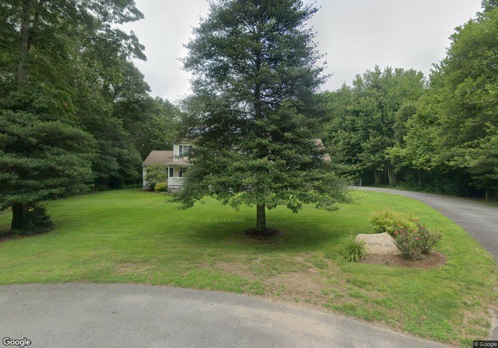
17 Scotts Way Westport, MA 02790
Estimated Value: $836,680 - $974,000
--
Bed
--
Bath
2,560
Sq Ft
$349/Sq Ft
Est. Value
About This Home
This home is located at 17 Scotts Way, Westport, MA 02790 and is currently estimated at $893,420, approximately $348 per square foot. 17 Scotts Way is a home located in Bristol County with nearby schools including Alice A. Macomber Primary School, Westport Elementary School, and Westport Middle-High School.
Ownership History
Date
Name
Owned For
Owner Type
Purchase Details
Closed on
Aug 29, 2022
Sold by
Peloquin Robert L and Peloquin Maureen T
Bought by
Maureen T Peloquin Ret and Peloquin
Current Estimated Value
Purchase Details
Closed on
Oct 6, 2000
Sold by
Lees Shirley E
Bought by
Peloquin Maureen T and Peloquin Robert L
Create a Home Valuation Report for This Property
The Home Valuation Report is an in-depth analysis detailing your home's value as well as a comparison with similar homes in the area
Home Values in the Area
Average Home Value in this Area
Purchase History
| Date | Buyer | Sale Price | Title Company |
|---|---|---|---|
| Maureen T Peloquin Ret | -- | None Available | |
| Maureen T Peloquin Ret | -- | None Available | |
| Peloquin Maureen T | $65,000 | -- | |
| Peloquin Maureen T | $65,000 | -- |
Source: Public Records
Mortgage History
| Date | Status | Borrower | Loan Amount |
|---|---|---|---|
| Previous Owner | Peloquin Maureen T | $165,000 | |
| Previous Owner | Peloquin Maureen T | $225,000 |
Source: Public Records
Tax History Compared to Growth
Tax History
| Year | Tax Paid | Tax Assessment Tax Assessment Total Assessment is a certain percentage of the fair market value that is determined by local assessors to be the total taxable value of land and additions on the property. | Land | Improvement |
|---|---|---|---|---|
| 2025 | $4,942 | $663,400 | $218,100 | $445,300 |
| 2024 | $4,933 | $638,200 | $203,200 | $435,000 |
| 2023 | $4,714 | $577,700 | $171,800 | $405,900 |
| 2022 | $4,483 | $528,600 | $171,800 | $356,800 |
| 2021 | $4,291 | $497,800 | $157,500 | $340,300 |
| 2020 | $4,032 | $478,300 | $151,700 | $326,600 |
| 2019 | $3,714 | $449,100 | $145,100 | $304,000 |
| 2018 | $3,923 | $480,200 | $177,300 | $302,900 |
| 2017 | $3,853 | $483,500 | $177,300 | $306,200 |
| 2016 | $3,558 | $449,800 | $177,300 | $272,500 |
| 2015 | $3,537 | $446,000 | $181,100 | $264,900 |
Source: Public Records
Map
Nearby Homes
- 73 White Oak Run
- 2 Slades Farm Ln
- 225 Hixbridge Rd
- 920 Drift Rd
- 47 Fallon Dr
- 0 Hidden Glen Ln
- 118 Charlotte White Rd Extension
- 1150 Russells Mills Rd
- 99 Sylvia Ln
- Lot 0 Marcotte
- 837 Main Rd
- 7 Village Way
- 8 Village Way
- 8 Strawberry Ln
- 15 Village Way
- Lot 2E Horseneck Rd
- 101 Adamsville Rd
- 118 Charlotte White Rd
- 4 Main Rd
- 1346 Main Rd Unit B
- 18 Scotts Way
- 8 Scotts Way
- 118 White Oak Run
- 122 White Oak Run
- 114 White Oak Run
- 110 White Oak Run
- 141 White Oak Run
- 716 Hixbridge Rd
- 755 Hixbridge Rd
- 125 White Oak Run
- 708 Hix Bridge Rd
- 3 Shadow Wood Ln
- 106 White Oak Run
- 0 Division Rd Unit 30649733
- 741 Hixbridge Rd
- 745 Hixbridge Rd
- 0 Division Rd Unit 72368540
- 0 Division Rd
- 0 Division Rd Unit 730720
- 0 Division Rd Unit 1199108