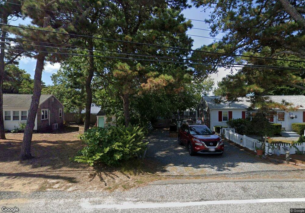
17 Shad Hole Rd Dennis Port, MA 2639
Dennis Port Neighborhood
--
Bed
--
Bath
13,500
Sq Ft
2.25
Acres
About This Home
This home is located at 17 Shad Hole Rd, Dennis Port, MA 2639. 17 Shad Hole Rd is a home located in Barnstable County with nearby schools including Dennis-Yarmouth Regional High School and St. Pius X. School.
Ownership History
Date
Name
Owned For
Owner Type
Purchase Details
Closed on
Aug 11, 2011
Sold by
Montana Trading Co Llc
Bought by
Cape Cod Community Tv
Purchase Details
Closed on
Mar 29, 1993
Sold by
Fdic
Bought by
Price Richard
Home Financials for this Owner
Home Financials are based on the most recent Mortgage that was taken out on this home.
Original Mortgage
$420,000
Interest Rate
7.73%
Mortgage Type
Purchase Money Mortgage
Purchase Details
Closed on
Aug 1, 1991
Sold by
O K Door & Window Corp
Bought by
Eight Miles Holding
Create a Home Valuation Report for This Property
The Home Valuation Report is an in-depth analysis detailing your home's value as well as a comparison with similar homes in the area
Home Values in the Area
Average Home Value in this Area
Purchase History
| Date | Buyer | Sale Price | Title Company |
|---|---|---|---|
| Cape Cod Community Tv | $1,200,000 | -- | |
| Cape Cod Community Tv | $1,200,000 | -- | |
| Price Richard | $310,000 | -- | |
| Price Richard | $310,000 | -- | |
| Eight Miles Holding | $609,474 | -- | |
| Eight Miles Holding | $609,474 | -- |
Source: Public Records
Mortgage History
| Date | Status | Borrower | Loan Amount |
|---|---|---|---|
| Previous Owner | Eight Miles Holding | $190,000 | |
| Previous Owner | Eight Miles Holding | $395,000 | |
| Previous Owner | Eight Miles Holding | $420,000 |
Source: Public Records
Tax History Compared to Growth
Tax History
| Year | Tax Paid | Tax Assessment Tax Assessment Total Assessment is a certain percentage of the fair market value that is determined by local assessors to be the total taxable value of land and additions on the property. | Land | Improvement |
|---|---|---|---|---|
| 2025 | $4,006 | $1,506,400 | $146,300 | $1,360,100 |
| 2024 | $4,006 | $1,488,700 | $140,900 | $1,347,800 |
| 2023 | $0 | $1,416,900 | $134,200 | $1,282,700 |
| 2022 | $0 | $1,336,500 | $126,600 | $1,209,900 |
| 2021 | $0 | $1,298,800 | $124,100 | $1,174,700 |
| 2020 | $1,058 | $1,281,000 | $119,000 | $1,162,000 |
| 2019 | $3,532 | $649,200 | $119,000 | $530,200 |
| 2018 | $3,376 | $677,700 | $119,000 | $558,700 |
| 2017 | $4,168 | $677,700 | $119,000 | $558,700 |
| 2016 | $4,510 | $690,700 | $119,000 | $571,700 |
| 2015 | $4,420 | $690,700 | $119,000 | $571,700 |
| 2014 | $3,134 | $493,500 | $119,000 | $374,500 |
Source: Public Records
Map
Nearby Homes
- 71 Main St
- 4 Coffey Ln
- 19 Standish Way
- 125 Main St Unit 3
- 12 Spoonbill Rd
- 22 Wixon Rd
- 80 Michaels Ave
- 72 Bassett Ln
- 268 Main St
- 95 Center St
- 15 Woodside Park Rd
- 31 Easy St
- 26 Center St
- 3 Pinefield Ln
- 20 Aunt Debbys Rd
- 78 Upper County Rd Unit A&B
- 78 Upper County Rd
- 61 Trotters Ln
- 24 Indian Trail
- 37 Ocean Dr Unit 2
- 18 Lone Tree Rd
- 14 Lone Tree Rd
- 8 Lone Tree Rd
- 11 Shad Hole Rd
- 26 Lone Tree Rd
- 26 Lone Tree Rd Unit B
- 26 Lone Tree Rd Unit A
- 26 Lone Tree Rd Unit 1&2
- 9 Shad Hole Rd
- 15 Lone Tree Rd
- 5 Colony Rd
- 9 Colony Rd
- 17 Lone Tree Rd
- 49 Main St
- 10 Shad Hole Rd
- 15 Colony Rd
- 21 Lone Tree Rd
- 32 Lone Tree Rd
- 0 Colony Rd
- 29 Shad Hole Rd Unit B