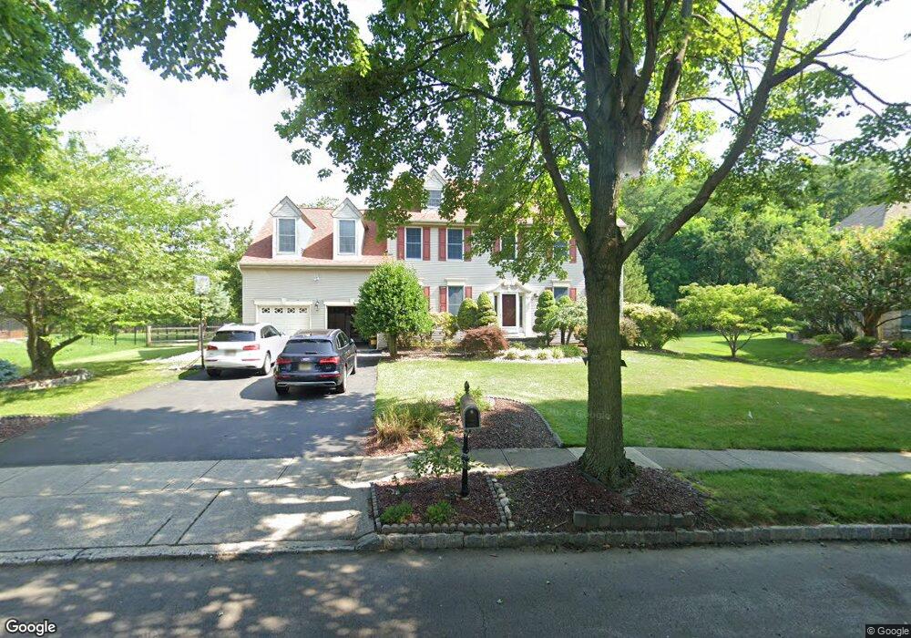
17 Shadow Dr Princeton Junction, NJ 08550
Estimated Value: $1,232,000 - $1,368,000
Studio
--
Bath
3,101
Sq Ft
$421/Sq Ft
Est. Value
About This Home
This home is located at 17 Shadow Dr, Princeton Junction, NJ 08550 and is currently estimated at $1,305,750, approximately $421 per square foot. 17 Shadow Dr is a home located in Mercer County with nearby schools including Village Elementary School, Dutch Neck Elementary School, and Community Middle School.
Ownership History
Date
Name
Owned For
Owner Type
Purchase Details
Closed on
Jul 8, 2005
Sold by
Hartigan Gavin
Bought by
Mittal Shailesh and Mittal Puja
Current Estimated Value
Home Financials for this Owner
Home Financials are based on the most recent Mortgage that was taken out on this home.
Original Mortgage
$350,000
Outstanding Balance
$181,286
Interest Rate
5.54%
Mortgage Type
Purchase Money Mortgage
Estimated Equity
$1,124,464
Purchase Details
Closed on
Jun 20, 1995
Sold by
Calton Homes
Bought by
Hartigan Gavin and Hartigan Jennifer
Home Financials for this Owner
Home Financials are based on the most recent Mortgage that was taken out on this home.
Original Mortgage
$268,000
Interest Rate
7.32%
Mortgage Type
Purchase Money Mortgage
Create a Home Valuation Report for This Property
The Home Valuation Report is an in-depth analysis detailing your home's value as well as a comparison with similar homes in the area
Home Values in the Area
Average Home Value in this Area
Purchase History
| Date | Buyer | Sale Price | Title Company |
|---|---|---|---|
| Mittal Shailesh | $836,000 | -- | |
| Hartigan Gavin | $331,290 | -- |
Source: Public Records
Mortgage History
| Date | Status | Borrower | Loan Amount |
|---|---|---|---|
| Open | Mittal Shailesh | $350,000 | |
| Previous Owner | Hartigan Gavin | $268,000 |
Source: Public Records
Tax History
| Year | Tax Paid | Tax Assessment Tax Assessment Total Assessment is a certain percentage of the fair market value that is determined by local assessors to be the total taxable value of land and additions on the property. | Land | Improvement |
|---|---|---|---|---|
| 2025 | $23,303 | $760,300 | $309,400 | $450,900 |
| 2024 | $22,330 | $760,300 | $309,400 | $450,900 |
Source: Public Records
Map
Nearby Homes
- 9 Howard Dr
- 374 Village Rd E
- 34 Brians Cir
- 32 W Kincaid Dr
- 42 Nassau Place
- 6 Jeffrey Ln
- 70 Woodmere Way
- 12 Ziff La
- 12 Ziff Ln
- 3 Princeton Place
- 4 Barrington Dr
- 568 Village Rd W
- 3 Ellsworth Dr
- 43 Saratoga Dr
- 5 Birchwood Ct
- 24 Indian Run Rd
- 53 Honeyflower Ln
- 28 Coneflower Ln
- 21 Globeflower Ln
- 75 Honeyflower Ln
Your Personal Tour Guide
Ask me questions while you tour the home.