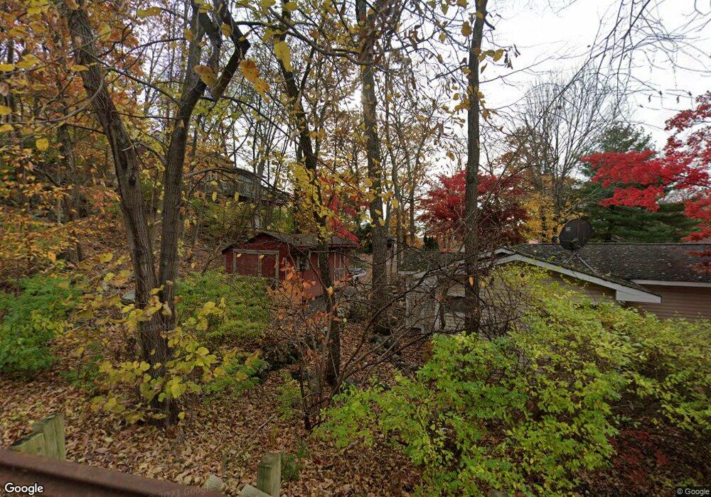
17 Skytop Rd Andover, NJ 07821
Estimated Value: $223,000 - $368,000
Studio
--
Bath
576
Sq Ft
$512/Sq Ft
Est. Value
About This Home
This home is located at 17 Skytop Rd, Andover, NJ 07821 and is currently estimated at $294,858, approximately $511 per square foot. 17 Skytop Rd is a home located in Sussex County with nearby schools including Hudson Maxim Elementary School, Durban Avenue Elementary School, and Tulsa Trail Elementary School.
Ownership History
Date
Name
Owned For
Owner Type
Purchase Details
Closed on
Jan 23, 2006
Sold by
Doherty Jacqueline A
Bought by
Vinkman Ulla
Current Estimated Value
Home Financials for this Owner
Home Financials are based on the most recent Mortgage that was taken out on this home.
Original Mortgage
$144,000
Interest Rate
6.23%
Mortgage Type
Fannie Mae Freddie Mac
Create a Home Valuation Report for This Property
The Home Valuation Report is an in-depth analysis detailing your home's value as well as a comparison with similar homes in the area
Home Values in the Area
Average Home Value in this Area
Purchase History
| Date | Buyer | Sale Price | Title Company |
|---|---|---|---|
| Vinkman Ulla | $180,000 | First American Title Ins Co |
Source: Public Records
Mortgage History
| Date | Status | Borrower | Loan Amount |
|---|---|---|---|
| Previous Owner | Vinkman Ulla | $144,000 |
Source: Public Records
Tax History
| Year | Tax Paid | Tax Assessment Tax Assessment Total Assessment is a certain percentage of the fair market value that is determined by local assessors to be the total taxable value of land and additions on the property. | Land | Improvement |
|---|---|---|---|---|
| 2025 | $3,824 | $183,400 | $112,500 | $70,900 |
| 2024 | $3,170 | $183,400 | $112,500 | $70,900 |
Source: Public Records
Map
Nearby Homes
- 543 Lakeside Ave
- 3 Bear Pond Trail
- 4 Bear Pond Trail
- 208 Maxim Dr
- 00 Forest Rd
- 7 Raccoon Island Rd
- 34 Isabelle Ave
- 47 Indian Trail
- 14 Marshall Trail
- 19 Sutton Rd
- 11 Hillside Ave
- 12 Hobart Trail
- 342 Dupont Ave
- 15 Pebble Beach Rd
- 34 Bayview Ave
- 7 Wildwood Shores Dr
- 27 Schwarz Blvd
- 11 Adelphi Trail
- 11B Wildwood Shores Dr
- 49 New York Ave
- 15 Skytop Rd
- 3 Dorel Rd
- 13 Skytop Rd
- 1 Dorel Rd
- 1 Knollwood Place
- 66 Skytop Rd
- 11 Skytop Rd
- 537 Lakeside Ave
- 535 Lakeside Ave
- 541 Lakeside Ave
- 533 Lakeside Ave
- 4 Dorel Rd
- 3 Knollwood Place
- 526 Lakeside Ave
- 20 Skytop Rd
- 531 Lakeside Ave
- 4 Knollwood Place
- 18 Skytop Rd
- 5 Knollwood Place
- 10 Cherokee Trail
Your Personal Tour Guide
Ask me questions while you tour the home.