17 Somerset Ln West Bath, ME 04530
Estimated Value: $1,373,000 - $1,441,228
--
Bed
--
Bath
--
Sq Ft
34.24
Acres
About This Home
This home is located at 17 Somerset Ln, West Bath, ME 04530 and is currently estimated at $1,415,076. 17 Somerset Ln is a home with nearby schools including Morse High School and Hyde School.
Ownership History
Date
Name
Owned For
Owner Type
Purchase Details
Closed on
May 2, 2013
Sold by
Whistlers Cove Llc
Bought by
Veevers-Carter Digby H and Veevers-Carter Stacey D
Current Estimated Value
Create a Home Valuation Report for This Property
The Home Valuation Report is an in-depth analysis detailing your home's value as well as a comparison with similar homes in the area
Home Values in the Area
Average Home Value in this Area
Purchase History
| Date | Buyer | Sale Price | Title Company |
|---|---|---|---|
| Veevers-Carter Digby H | -- | -- |
Source: Public Records
Tax History Compared to Growth
Tax History
| Year | Tax Paid | Tax Assessment Tax Assessment Total Assessment is a certain percentage of the fair market value that is determined by local assessors to be the total taxable value of land and additions on the property. | Land | Improvement |
|---|---|---|---|---|
| 2024 | $9,905 | $1,207,900 | $502,300 | $705,600 |
| 2023 | $9,900 | $1,455,900 | $750,300 | $705,600 |
| 2022 | $8,042 | $751,600 | $249,100 | $502,500 |
| 2021 | $7,892 | $751,600 | $249,100 | $502,500 |
| 2020 | $7,892 | $751,600 | $249,100 | $502,500 |
| 2019 | $7,892 | $751,600 | $249,100 | $502,500 |
| 2018 | $8,343 | $751,600 | $249,100 | $502,500 |
| 2017 | $8,418 | $751,600 | $249,100 | $502,500 |
| 2016 | $7,666 | $751,600 | $249,100 | $502,500 |
| 2015 | $7,817 | $751,600 | $249,100 | $502,500 |
| 2014 | $8,470 | $830,400 | $329,000 | $501,400 |
| 2013 | $1,104 | $108,800 | $108,800 | $0 |
Source: Public Records
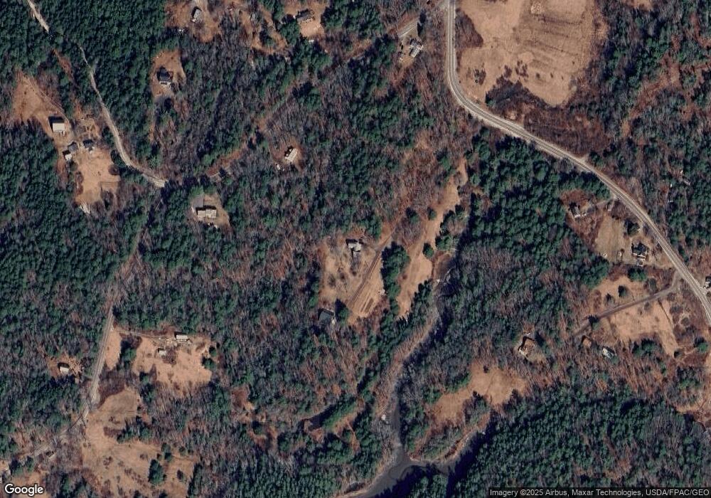
Map
Nearby Homes
- 46 Dam Cove Rd
- 88 Campbell Pond Rd
- 10 Birch Point Rd
- 140 Clifford Rd
- 51 & 53 Rock Haven Dr
- 66 High St
- 197 Main Rd
- Lot #2 Rte 209 Main Rd
- 93 Abbot Cove Rd
- 0 Main Rd
- 60 Rosedale Rd
- Lot 27 Howards Point Ln
- 0 Smithfield Crossing Unit 1643601
- 286 High St
- 10 Marshall Ave
- 550 Main Rd
- 332 Washington St
- 14 Weeks St
- 444 Middle St
- 410 Washington St
- 30 Quaker Point Rd
- 50 Quaker Point Rd
- 82 Quaker Point Rd
- 21 Millstone Dr
- 0 Berry's Mill Rd
- 10 Quaker Point Rd
- 0 Quaker Point Rd
- 569 Berrys Mill Rd
- 9 Shady Ln
- 0 Quaker Point
- 3 Rockweed Rd
- 3 Rockweed Rd Unit 1269296
- 3 Rockweed Rd Unit 1328513
- 728 Berrys Mill Rd
- 5 Quaker Point Rd
- 24 Shady Ln
- 579 Berrys Mill Rd
- 29 Old Pine Way
- 89 Quaker Point Rd
- 34 Rockweed Rd