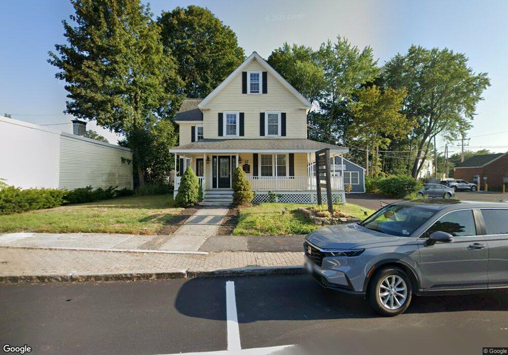
17 Stevens St Littleton, MA 01460
Littleton Common NeighborhoodEstimated Value: $899,351
4
Beds
2
Baths
317
Sq Ft
$2,837/Sq Ft
Est. Value
About This Home
This home is located at 17 Stevens St, Littleton, MA 01460 and is currently estimated at $899,351, approximately $2,837 per square foot. 17 Stevens St is a home located in Middlesex County with nearby schools including Shaker Lane Elementary School, Russell Street Elementary School, and Littleton Middle School.
Ownership History
Date
Name
Owned For
Owner Type
Purchase Details
Closed on
Sep 5, 2017
Sold by
Littleton Common Rt Llc
Bought by
Littleton Common Rt and Frisoli
Current Estimated Value
Purchase Details
Closed on
Jun 17, 2004
Sold by
Larkin Richard W and Barton William C
Bought by
17 Stevens St Rt and K V Littleton Dev Corp
Home Financials for this Owner
Home Financials are based on the most recent Mortgage that was taken out on this home.
Original Mortgage
$350,000
Interest Rate
6.12%
Mortgage Type
Commercial
Create a Home Valuation Report for This Property
The Home Valuation Report is an in-depth analysis detailing your home's value as well as a comparison with similar homes in the area
Home Values in the Area
Average Home Value in this Area
Purchase History
| Date | Buyer | Sale Price | Title Company |
|---|---|---|---|
| Littleton Common Rt | -- | None Available | |
| Littleton Common Rt | -- | None Available | |
| Littleton Common Rt | -- | None Available | |
| 17 Stevens St Rt | $315,000 | -- | |
| 17 Stevens St Rt | $315,000 | -- | |
| 17 Stevens St Rt | $315,000 | -- |
Source: Public Records
Mortgage History
| Date | Status | Borrower | Loan Amount |
|---|---|---|---|
| Previous Owner | 17 Stevens St Rt | $400,000 | |
| Previous Owner | 17 Stevens St Rt | $350,000 |
Source: Public Records
Tax History Compared to Growth
Tax History
| Year | Tax Paid | Tax Assessment Tax Assessment Total Assessment is a certain percentage of the fair market value that is determined by local assessors to be the total taxable value of land and additions on the property. | Land | Improvement |
|---|---|---|---|---|
| 2025 | $0 | $515,800 | $196,300 | $319,500 |
| 2024 | $11,889 | $500,800 | $189,600 | $311,200 |
| 2023 | $0 | $482,200 | $175,700 | $306,500 |
| 2022 | $0 | $444,100 | $157,200 | $286,900 |
| 2021 | $0 | $430,200 | $143,300 | $286,900 |
| 2020 | $11,889 | $417,300 | $129,500 | $287,800 |
| 2019 | $11,837 | $418,700 | $129,500 | $289,200 |
| 2018 | $11,602 | $413,900 | $129,500 | $284,400 |
| 2017 | $11,742 | $413,900 | $129,500 | $284,400 |
| 2016 | $11,395 | $406,400 | $129,500 | $276,900 |
| 2015 | $7,918 | $264,900 | $106,300 | $158,600 |
Source: Public Records
Map
Nearby Homes
- 55 Jennifer St
- 12 Paula Beth St
- 10 Baldwin Hill Rd
- 8 Edsel Rd
- 34 Baldwin Hill Rd
- 115 Goldsmith St
- 4 Mars Place
- 336 King St Unit 105
- 16 Fletcher Ln
- 17 Hartwell Ave
- 26 Long Lake Rd
- 18 Long Lake Rd
- 125 Concord Rd
- 35 Queen Rd
- 146 Tahattawan Rd
- 5 Mill Park Place Unit 5
- 3 Mill Park Place
- 3 Mill Park Place Unit 3
- 9 (Lt 44) Darrell Dr
- 84 Powers Rd
- 17 Stevens St Unit 3
- 17 Stevens St Unit 1
- 17 Stevens St Unit Blue Bldg
- 23 Stevens St
- 14 Goldsmith St
- 3 Adams St
- 3 Adams St Unit 3
- 320 Great Rd Unit 3
- 534 King St
- 510 King St Unit 1
- 510 King St Unit 5
- 510 King St Unit 10
- 510 King St Unit 9
- 510 King St Unit 3
- 510 King St Unit 4
- 510 King St
- 512 King St
- 510 King St Unit 6
- 15 Goldsmith St
- 7 Goldsmith St Unit 7