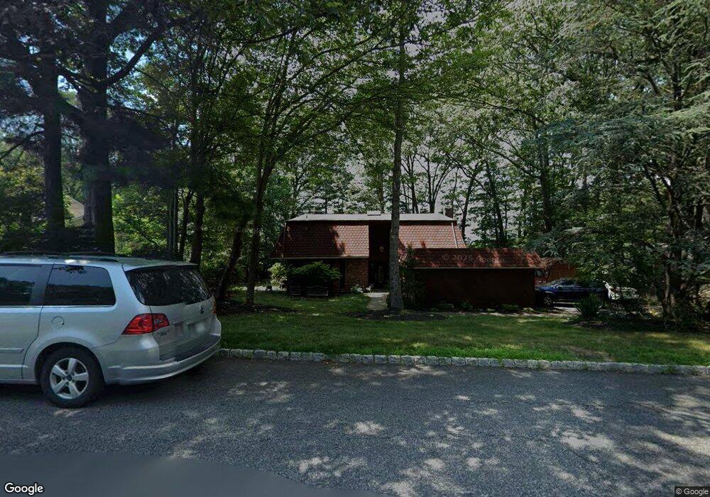
17 Stockbridge Ave Suffern, NY 10901
Estimated Value: $506,799 - $1,011,000
4
Beds
3
Baths
3,314
Sq Ft
$255/Sq Ft
Est. Value
About This Home
This home is located at 17 Stockbridge Ave, Suffern, NY 10901 and is currently estimated at $845,700, approximately $255 per square foot. 17 Stockbridge Ave is a home located in Rockland County with nearby schools including Suffern Middle School, Suffern High School, and Congregation Yeshous Moshe Viznitz.
Ownership History
Date
Name
Owned For
Owner Type
Purchase Details
Closed on
Dec 8, 2020
Sold by
Werfel Mark
Bought by
Werfel Mark
Current Estimated Value
Purchase Details
Closed on
Feb 4, 2004
Sold by
Werfel Mark
Bought by
Werfel Mark and Werfel Yiwen
Home Financials for this Owner
Home Financials are based on the most recent Mortgage that was taken out on this home.
Original Mortgage
$275,000
Interest Rate
5.4%
Mortgage Type
New Conventional
Create a Home Valuation Report for This Property
The Home Valuation Report is an in-depth analysis detailing your home's value as well as a comparison with similar homes in the area
Home Values in the Area
Average Home Value in this Area
Purchase History
| Date | Buyer | Sale Price | Title Company |
|---|---|---|---|
| Werfel Mark | -- | None Available | |
| Werfel Mark | -- | -- |
Source: Public Records
Mortgage History
| Date | Status | Borrower | Loan Amount |
|---|---|---|---|
| Closed | Werfel Mark | $275,000 |
Source: Public Records
Tax History Compared to Growth
Tax History
| Year | Tax Paid | Tax Assessment Tax Assessment Total Assessment is a certain percentage of the fair market value that is determined by local assessors to be the total taxable value of land and additions on the property. | Land | Improvement |
|---|---|---|---|---|
| 2024 | $21,733 | $58,500 | $20,300 | $38,200 |
| 2023 | $21,733 | $63,500 | $20,300 | $43,200 |
| 2022 | $21,658 | $63,500 | $20,300 | $43,200 |
| 2021 | $21,658 | $63,500 | $20,300 | $43,200 |
| 2020 | $21,171 | $63,500 | $20,300 | $43,200 |
| 2019 | $20,127 | $63,500 | $20,300 | $43,200 |
| 2018 | $20,127 | $63,500 | $20,300 | $43,200 |
| 2017 | $19,109 | $63,500 | $20,300 | $43,200 |
| 2016 | $18,316 | $63,500 | $20,300 | $43,200 |
| 2015 | -- | $63,500 | $20,300 | $43,200 |
| 2014 | -- | $67,400 | $20,300 | $47,100 |
Source: Public Records
Map
Nearby Homes
- 15 Stockbridge Ave
- 235 Parkside Dr Unit 235
- 256 Parkside Dr Unit 256
- 208 Parkside Dr
- 178 Parkside Dr Unit 178
- 199 Parkside Dr
- 114 Parkside Dr
- 155 Parkside Dr Unit 155
- 53 Doxbury Ln Unit 53
- 66 Parkside Dr Unit 66
- 12 Sagamore Ave
- 19 Doxbury Ln Unit 19
- 2372 Phillip Ct
- 19 Yorkshire Dr
- 14 Burlington Ave
- 50 Yorkshire Dr Unit 50
- 2 Revere Ct Unit 2108
- 5 Essex Ln Unit B5
- 3 Essex Ln Unit C2
- 20 Lancaster Dr
- 19 Stockbridge Ave
- 11 Salem Ct Unit 11
- 251 Parkside Dr
- 249 Parkside Dr
- 13 Salem Ct
- 9 Salem Ct
- 253 Parkside Dr
- 247 Parkside Dr
- 15 Salem Ct
- 7 Salem Ct Unit 7
- 245 Parkside Dr
- 255 Parkside Dr Unit 255
- 243 Parkside Dr
- 16 Stockbridge Ave
- 5 Salem Ct Unit 5
- 21 Stockbridge Ave
- 241 Parkside Dr Unit 241
- 18 Stockbridge Ave
- 14 Stockbridge Ave
- 1 Salem Ct