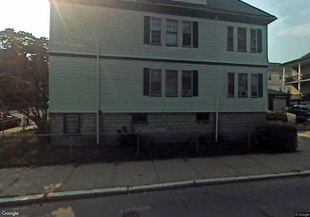
17 Stow Rd Unit 19 Mattapan, MA 02126
Southern Mattapan NeighborhoodEstimated Value: $799,961 - $883,000
4
Beds
3
Baths
2,517
Sq Ft
$336/Sq Ft
Est. Value
About This Home
This home is located at 17 Stow Rd Unit 19, Mattapan, MA 02126 and is currently estimated at $844,990, approximately $335 per square foot. 17 Stow Rd Unit 19 is a home located in Suffolk County with nearby schools including Berea Seventh-day Adventist Academy.
Ownership History
Date
Name
Owned For
Owner Type
Purchase Details
Closed on
Sep 30, 2009
Sold by
Brewster Henry and Brewster Jean C
Bought by
Dorosario Francisco and Correia Zuleica C
Current Estimated Value
Home Financials for this Owner
Home Financials are based on the most recent Mortgage that was taken out on this home.
Original Mortgage
$205,590
Outstanding Balance
$134,521
Interest Rate
5.12%
Mortgage Type
Purchase Money Mortgage
Estimated Equity
$710,469
Create a Home Valuation Report for This Property
The Home Valuation Report is an in-depth analysis detailing your home's value as well as a comparison with similar homes in the area
Home Values in the Area
Average Home Value in this Area
Purchase History
| Date | Buyer | Sale Price | Title Company |
|---|---|---|---|
| Dorosario Francisco | $267,000 | -- |
Source: Public Records
Mortgage History
| Date | Status | Borrower | Loan Amount |
|---|---|---|---|
| Open | Dorosario Francisco | $205,590 |
Source: Public Records
Tax History Compared to Growth
Tax History
| Year | Tax Paid | Tax Assessment Tax Assessment Total Assessment is a certain percentage of the fair market value that is determined by local assessors to be the total taxable value of land and additions on the property. | Land | Improvement |
|---|---|---|---|---|
| 2025 | $7,657 | $661,200 | $128,500 | $532,700 |
| 2024 | $6,840 | $627,500 | $159,300 | $468,200 |
| 2023 | $6,239 | $580,900 | $147,500 | $433,400 |
| 2022 | $6,201 | $569,900 | $147,500 | $422,400 |
| 2021 | $5,336 | $500,100 | $139,200 | $360,900 |
| 2020 | $4,602 | $435,800 | $103,500 | $332,300 |
| 2019 | $4,073 | $386,400 | $78,300 | $308,100 |
| 2018 | $3,820 | $364,500 | $78,300 | $286,200 |
| 2017 | $3,711 | $350,400 | $78,300 | $272,100 |
| 2016 | $3,603 | $327,500 | $78,300 | $249,200 |
| 2015 | $3,387 | $279,700 | $82,000 | $197,700 |
| 2014 | $3,023 | $240,300 | $82,000 | $158,300 |
Source: Public Records
Map
Nearby Homes
- 30 Glenhill Rd
- 15-17 W Selden St
- 808 Morton St Unit 3
- 124 Selden St
- 139 Selden St
- 18 Astoria St
- 23 Maryknoll St
- 32 Crowell St
- 147 Fairmount St
- 157 Delhi St
- 44 Evans St
- 10 Sutton St
- 73 Stanton St
- 32 Violet St
- 68 Mascot St
- 5 Sutton St
- 5 Sutton St Unit 3B
- 567B Norfolk St
- 84-86 Codman Hill Ave
- 251 Norfolk St Unit A