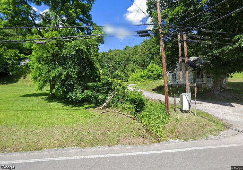
17 Strother Ave Clarksburg, WV 26301
Estimated Value: $166,000 - $224,000
3
Beds
1
Bath
1,288
Sq Ft
$151/Sq Ft
Est. Value
About This Home
This home is located at 17 Strother Ave, Clarksburg, WV 26301 and is currently estimated at $194,688, approximately $151 per square foot. 17 Strother Ave is a home with nearby schools including St. Mary's Grade School, Mother Goose Land Kindergarten, and Emmanuel Christian School.
Ownership History
Date
Name
Owned For
Owner Type
Purchase Details
Closed on
Mar 4, 2021
Sold by
Slate Property Llc
Bought by
Mcdonald Robin Lynn and Mcdonald Jesse Matthew
Current Estimated Value
Home Financials for this Owner
Home Financials are based on the most recent Mortgage that was taken out on this home.
Original Mortgage
$158,000
Outstanding Balance
$141,314
Interest Rate
2.7%
Mortgage Type
New Conventional
Estimated Equity
$53,374
Purchase Details
Closed on
Jun 28, 2011
Sold by
Sullivan Florence A
Bought by
Runner William J
Create a Home Valuation Report for This Property
The Home Valuation Report is an in-depth analysis detailing your home's value as well as a comparison with similar homes in the area
Home Values in the Area
Average Home Value in this Area
Purchase History
| Date | Buyer | Sale Price | Title Company |
|---|---|---|---|
| Mcdonald Robin Lynn | $168,000 | None Available | |
| Runner William J | -- | None Available |
Source: Public Records
Mortgage History
| Date | Status | Borrower | Loan Amount |
|---|---|---|---|
| Open | Mcdonald Robin Lynn | $158,000 |
Source: Public Records
Tax History Compared to Growth
Tax History
| Year | Tax Paid | Tax Assessment Tax Assessment Total Assessment is a certain percentage of the fair market value that is determined by local assessors to be the total taxable value of land and additions on the property. | Land | Improvement |
|---|---|---|---|---|
| 2024 | $638 | $51,900 | $3,240 | $48,660 |
| 2023 | $595 | $47,940 | $3,240 | $44,700 |
| 2022 | $562 | $47,700 | $3,120 | $44,580 |
| 2021 | $0 | $44,040 | $3,120 | $40,920 |
| 2020 | $1,086 | $47,100 | $3,060 | $44,040 |
| 2019 | $1,103 | $47,820 | $3,060 | $44,760 |
| 2018 | $1,083 | $47,160 | $3,060 | $44,100 |
| 2017 | $1,103 | $48,240 | $4,080 | $44,160 |
| 2016 | $1,089 | $48,240 | $4,080 | $44,160 |
| 2015 | $310 | $47,280 | $3,360 | $43,920 |
| 2014 | $311 | $47,460 | $3,360 | $44,100 |
Source: Public Records
Map
Nearby Homes
- TBD Doll Run Rd
- 0 Eagle Way
- 482 County Route 25 27
- 129 Thorn St
- 211 Liberty Ave
- 1672 Milford St
- 790 Verdun St
- 125 Hartland Ave
- 0 Milford St
- 725 Milford St
- 19 Golf Course Dr
- 99 Liberty Ave
- 511 Milford St
- 108 W Woodland Ave
- 280 Brighton Circle Rd
- 328.5 Milford St
- 121 Stoneybrook Rd
- 426 Duff Ave
- 311 Stealey Ave
- 600 King St
- 28 Strother Ave
- 493 Mount Clare Rd
- 547 Mount Clare Rd
- 532 Mount Clare Rd
- 50 Strother Ave
- 178 Strother St
- 475 Mount Clare Rd
- 44 Fittro St
- 486 Mount Clare Rd
- 565 Mount Clare Rd
- 183 Strother St
- 28 N Randolph St
- 60 N Randolph St
- 72 Strother Ave
- 28 S Randolph St
- 115 Fittro St
- 80 S Randolph St
- 7175 Custer St
- 167 Fittro St
- 379 Mount Clare Rd