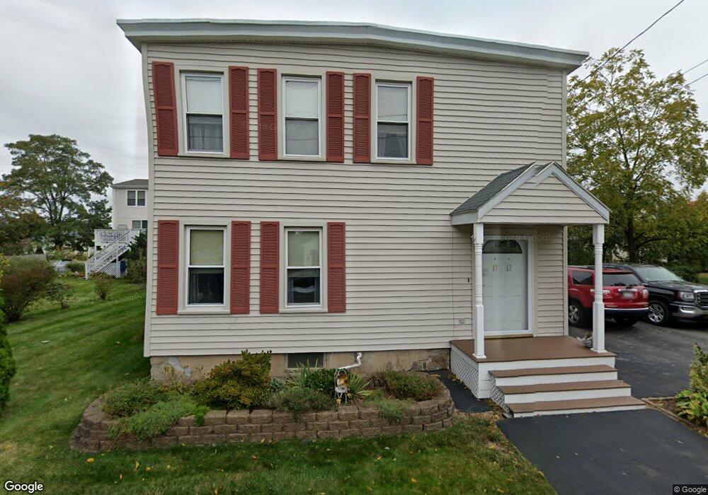
17 Sunnyside St Methuen, MA 01844
The East End NeighborhoodEstimated Value: $517,000 - $572,000
2
Beds
2
Baths
1,518
Sq Ft
$355/Sq Ft
Est. Value
About This Home
This home is located at 17 Sunnyside St, Methuen, MA 01844 and is currently estimated at $539,628, approximately $355 per square foot. 17 Sunnyside St is a home located in Essex County with nearby schools including Timony Grammar School, Methuen High School, and Community Day Charter Public School - Gateway.
Ownership History
Date
Name
Owned For
Owner Type
Purchase Details
Closed on
Mar 20, 1998
Sold by
Pittman James
Bought by
Sousa Deborah L
Current Estimated Value
Purchase Details
Closed on
Oct 3, 1995
Sold by
Conca Floren R
Bought by
Pittman James M
Create a Home Valuation Report for This Property
The Home Valuation Report is an in-depth analysis detailing your home's value as well as a comparison with similar homes in the area
Home Values in the Area
Average Home Value in this Area
Purchase History
| Date | Buyer | Sale Price | Title Company |
|---|---|---|---|
| Sousa Deborah L | $108,000 | -- | |
| Sousa Deborah L | $108,000 | -- | |
| Pittman James M | $56,500 | -- | |
| Pittman James M | $56,500 | -- |
Source: Public Records
Mortgage History
| Date | Status | Borrower | Loan Amount |
|---|---|---|---|
| Open | Pittman James M | $228,500 | |
| Closed | Pittman James M | $80,849 |
Source: Public Records
Tax History Compared to Growth
Tax History
| Year | Tax Paid | Tax Assessment Tax Assessment Total Assessment is a certain percentage of the fair market value that is determined by local assessors to be the total taxable value of land and additions on the property. | Land | Improvement |
|---|---|---|---|---|
| 2025 | $4,780 | $451,800 | $209,600 | $242,200 |
| 2024 | $4,710 | $433,700 | $191,200 | $242,500 |
| 2023 | $4,466 | $381,700 | $169,900 | $211,800 |
| 2022 | $4,297 | $329,300 | $141,600 | $187,700 |
| 2021 | $3,776 | $286,300 | $134,500 | $151,800 |
| 2020 | $3,756 | $279,500 | $134,500 | $145,000 |
| 2019 | $3,474 | $244,800 | $120,400 | $124,400 |
| 2018 | $3,398 | $238,100 | $120,400 | $117,700 |
| 2017 | $3,289 | $224,500 | $120,400 | $104,100 |
| 2016 | $3,220 | $217,400 | $113,300 | $104,100 |
| 2015 | $3,060 | $209,600 | $113,300 | $96,300 |
Source: Public Records
Map
Nearby Homes
- 29 Wallace St
- 23 Constitution Way Unit 23
- 23 Constitution Way
- 95 Pilgrim Cir Unit 95
- 2 Goodrich Ave
- 17 Ferry Rd
- 45 Christopher Dr Unit 101
- 27 Russell Farm Dr
- 86 Comet Rd
- 128 Pleasant Valley St
- 49 Golf Ave
- 122 Pleasant Valley St
- 46 Oneida St
- 50 Woburn St
- 6 Aberdeen Rd
- 3 Thissell St
- 115 Merrimack Rd
- 5 Harmony Ln
- 68 Sterling Ln
- 369 Farrwood Dr