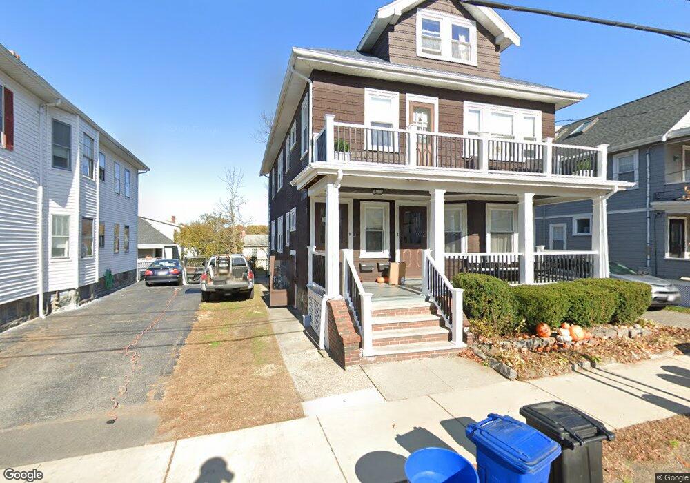
17 Surry Rd Unit 19 Arlington, MA 02476
Arlington Heights NeighborhoodEstimated Value: $1,129,000 - $1,287,708
4
Beds
2
Baths
2,513
Sq Ft
$492/Sq Ft
Est. Value
About This Home
This home is located at 17 Surry Rd Unit 19, Arlington, MA 02476 and is currently estimated at $1,235,927, approximately $491 per square foot. 17 Surry Rd Unit 19 is a home located in Middlesex County with nearby schools including Peirce Elementary School, Dallin Elementary School, and Ottoson Middle School.
Ownership History
Date
Name
Owned For
Owner Type
Purchase Details
Closed on
Sep 24, 2015
Sold by
Albert and Cardone T
Bought by
Scalfati Julie
Current Estimated Value
Home Financials for this Owner
Home Financials are based on the most recent Mortgage that was taken out on this home.
Original Mortgage
$413,333
Interest Rate
3.97%
Mortgage Type
New Conventional
Create a Home Valuation Report for This Property
The Home Valuation Report is an in-depth analysis detailing your home's value as well as a comparison with similar homes in the area
Home Values in the Area
Average Home Value in this Area
Purchase History
| Date | Buyer | Sale Price | Title Company |
|---|---|---|---|
| Scalfati Julie | $620,000 | -- |
Source: Public Records
Mortgage History
| Date | Status | Borrower | Loan Amount |
|---|---|---|---|
| Closed | Scalfati Julie | $413,333 |
Source: Public Records
Tax History Compared to Growth
Tax History
| Year | Tax Paid | Tax Assessment Tax Assessment Total Assessment is a certain percentage of the fair market value that is determined by local assessors to be the total taxable value of land and additions on the property. | Land | Improvement |
|---|---|---|---|---|
| 2025 | $11,112 | $1,031,800 | $526,100 | $505,700 |
| 2024 | $10,238 | $966,800 | $497,900 | $468,900 |
| 2023 | $10,551 | $941,200 | $435,600 | $505,600 |
| 2022 | $10,244 | $897,000 | $396,000 | $501,000 |
| 2021 | $9,909 | $873,800 | $396,000 | $477,800 |
| 2020 | $9,665 | $873,900 | $396,000 | $477,900 |
| 2019 | $8,623 | $765,800 | $396,000 | $369,800 |
| 2018 | $8,741 | $720,600 | $350,800 | $369,800 |
| 2017 | $8,045 | $640,500 | $294,200 | $346,300 |
| 2016 | $8,198 | $640,500 | $294,200 | $346,300 |
| 2015 | $7,621 | $562,400 | $254,600 | $307,800 |
Source: Public Records
Map
Nearby Homes
- 51 Lowell St
- 1 Watermill Place Unit 308
- 14 Park Avenue Extension
- 11 Lowell St Unit B
- 58 Westminster Ave Unit 58
- 1205 Massachusetts Ave
- 6 Appleton Place
- 10 Colonial Village Dr Unit 2
- 4 Beck Rd
- 455 Summer St Unit 455
- 181 Lowell St
- 15 Higgins St Unit 17
- 37 Fountain Rd Unit 2
- 37 Fountain Rd
- 19 Wilbur Ave
- 56 Valentine Rd
- 18-20 Brattle St
- 1025 Massachusetts Ave Unit 204
- 204 Plan at Majestic Mill Brook
- 1025 Massachusetts Ave Unit 404
- 19 Surry Rd
- 15 Surry Rd Unit 15
- 13 Surry Rd Unit 15
- 21 Surry Rd Unit 23
- 9 Surry Rd
- 25 Surry Rd Unit 27
- 1286 Massachusetts Ave
- 20 Surry Rd Unit 22
- 20-22 Surry Rd
- 1290 Massachusetts Ave Unit 1
- 1290 Massachusetts Ave
- 1288 Massachusetts Ave
- 1290 Massachusetts Ave Unit 2
- 1284 Massachusetts Ave
- 16 Surry Rd Unit 18
- 16-18 Surry Rd Unit 16
- 24 Surry Rd
- 12 Surry Rd Unit 14
- 1294 Massachusetts Ave Unit 2
- 29 Surry Rd