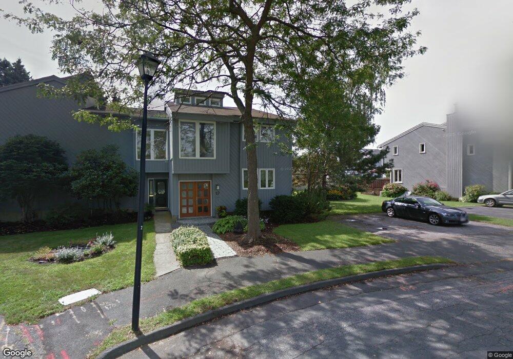
17 Sutton Place Swampscott, MA 01907
Estimated Value: $685,000 - $1,437,000
3
Beds
3
Baths
1,928
Sq Ft
$466/Sq Ft
Est. Value
About This Home
This home is located at 17 Sutton Place, Swampscott, MA 01907 and is currently estimated at $899,292, approximately $466 per square foot. 17 Sutton Place is a home located in Essex County with nearby schools including Swampscott Middle School and Swampscott High School.
Ownership History
Date
Name
Owned For
Owner Type
Purchase Details
Closed on
Jun 22, 2018
Sold by
Cox Leslie A and Haimes Robert
Bought by
Haimes Holsings Ft
Current Estimated Value
Purchase Details
Closed on
Nov 8, 1979
Bought by
Haimes Robert and Cox-Haimes Leslie A
Create a Home Valuation Report for This Property
The Home Valuation Report is an in-depth analysis detailing your home's value as well as a comparison with similar homes in the area
Home Values in the Area
Average Home Value in this Area
Purchase History
| Date | Buyer | Sale Price | Title Company |
|---|---|---|---|
| Haimes Holsings Ft | -- | -- | |
| Haimes Robert | -- | -- |
Source: Public Records
Mortgage History
| Date | Status | Borrower | Loan Amount |
|---|---|---|---|
| Previous Owner | Haimes Robert | $124,000 | |
| Previous Owner | Haimes Robert | $130,000 | |
| Previous Owner | Haimes Robert | $70,000 |
Source: Public Records
Tax History
| Year | Tax Paid | Tax Assessment Tax Assessment Total Assessment is a certain percentage of the fair market value that is determined by local assessors to be the total taxable value of land and additions on the property. | Land | Improvement |
|---|---|---|---|---|
| 2025 | $7,595 | $662,200 | $0 | $662,200 |
| 2024 | $7,416 | $645,400 | $0 | $645,400 |
| 2023 | $7,188 | $612,300 | $0 | $612,300 |
| 2022 | $7,241 | $564,400 | $0 | $564,400 |
| 2021 | $7,310 | $529,700 | $0 | $529,700 |
| 2020 | $6,707 | $469,000 | $0 | $469,000 |
| 2019 | $7,129 | $469,000 | $0 | $469,000 |
| 2018 | $7,003 | $437,700 | $0 | $437,700 |
| 2017 | $6,947 | $398,100 | $0 | $398,100 |
| 2016 | $6,653 | $383,900 | $0 | $383,900 |
| 2015 | $6,100 | $355,700 | $0 | $355,700 |
| 2014 | $6,029 | $322,400 | $0 | $322,400 |
Source: Public Records
Map
Nearby Homes
- 38 Puritan Rd
- 315 Puritan Rd
- 75 Bay View Dr
- 22 Hemenway Rd
- 110 Galloupes Point Rd
- 35 Alden Rd
- 245 Humphrey St Unit 205
- 27 Rockland St
- 71 Walnut Rd
- 49 Blaney St
- 168 Humphrey St Unit PH
- 133 Elmwood Rd Unit 2
- 48 Mountwood Rd
- 50 Mountwood Rd
- 167-169 Walker Rd
- 2 Ocean Ave
- 169 Walker Rd Unit 2
- 28 Claremont Terrace Unit 6
- 100 Burrill St Unit 6
- 3 Didio Dr
- 19 Sutton Place
- 21 Sutton Place
- 182 Puritan Rd
- 182 Puritan Rd Unit A
- 182 Puritan Rd Unit 182
- 188 Puritan Rd
- 186 Puritan Rd
- 186 Puritan Rd Unit 186
- 186 Puritan Rd Unit A
- 15 Sutton Place
- 13 Sutton Place
- 23 Sutton Place
- 23 Sutton Place Unit A
- 23 Sutton Place Unit 23
- 184 Puritan Rd
- 178 Puritan Rd Unit 180
- 190 Puritan Rd
- 9 Sutton Place
- 9 Sutton Place Unit 9
- 11 Sutton Place
Your Personal Tour Guide
Ask me questions while you tour the home.