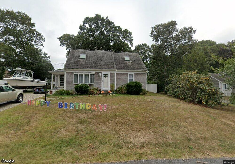
17 Swallow St Teaticket, MA 02536
Teaticket NeighborhoodEstimated Value: $699,000 - $850,000
4
Beds
2
Baths
800
Sq Ft
$980/Sq Ft
Est. Value
About This Home
This home is located at 17 Swallow St, Teaticket, MA 02536 and is currently estimated at $784,370, approximately $980 per square foot. 17 Swallow St is a home located in Barnstable County with nearby schools including Teaticket Elementary School, Morse Pond School, and Lawrence School.
Ownership History
Date
Name
Owned For
Owner Type
Purchase Details
Closed on
Sep 13, 2022
Sold by
Skog Marguerite A
Bought by
Skog Marguerite A and Michielli Annalisa
Current Estimated Value
Purchase Details
Closed on
Sep 16, 1999
Sold by
Madani Catherine F and Madani Hossein F
Bought by
Skog Leslie B and Skog Marguerite A
Home Financials for this Owner
Home Financials are based on the most recent Mortgage that was taken out on this home.
Original Mortgage
$74,000
Interest Rate
7.83%
Mortgage Type
Purchase Money Mortgage
Create a Home Valuation Report for This Property
The Home Valuation Report is an in-depth analysis detailing your home's value as well as a comparison with similar homes in the area
Home Values in the Area
Average Home Value in this Area
Purchase History
| Date | Buyer | Sale Price | Title Company |
|---|---|---|---|
| Skog Marguerite A | -- | None Available | |
| Skog Leslie B | $159,000 | -- |
Source: Public Records
Mortgage History
| Date | Status | Borrower | Loan Amount |
|---|---|---|---|
| Previous Owner | Skog Leslie B | $74,000 |
Source: Public Records
Tax History
| Year | Tax Paid | Tax Assessment Tax Assessment Total Assessment is a certain percentage of the fair market value that is determined by local assessors to be the total taxable value of land and additions on the property. | Land | Improvement |
|---|---|---|---|---|
| 2025 | $3,618 | $616,300 | $228,200 | $388,100 |
| 2024 | $3,466 | $551,900 | $199,600 | $352,300 |
| 2023 | $2,704 | $390,700 | $156,900 | $233,800 |
| 2022 | $2,607 | $323,900 | $138,300 | $185,600 |
| 2021 | $2,464 | $289,900 | $126,700 | $163,200 |
| 2020 | $2,391 | $278,400 | $115,200 | $163,200 |
| 2019 | $2,179 | $254,600 | $115,200 | $139,400 |
| 2018 | $2,142 | $249,100 | $115,200 | $133,900 |
| 2017 | $2,087 | $244,700 | $115,200 | $129,500 |
| 2016 | $2,048 | $244,700 | $115,200 | $129,500 |
| 2015 | $2,004 | $244,700 | $115,200 | $129,500 |
| 2014 | $2,036 | $249,800 | $121,200 | $128,600 |
Source: Public Records
Map
Nearby Homes
- 156 Teaticket Hwy
- 65 Cypress St
- 108 Lucerne Ave
- 56 Raymond St
- 136 Sanddollar Cir
- 49 Broken Bow Ln
- 7 Dexter Mill Dr
- 116 Seabrook Dr
- 16 Edgewood Dr
- 24 Montgomery Ct
- 100 Dillingham Ave Unit 101A
- 100 Dillingham Ave Unit A101
- 480 Main St Unit 13
- 480 Main St Unit 1
- 15 Beach St
- 194 Bayfront Way Unit 194
- Lot 2 Pine Grove Ave
- 44 Elvira Ave
- 61 Menauhant Rd
- 149 Brick Kiln Rd
Your Personal Tour Guide
Ask me questions while you tour the home.