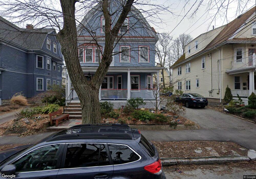
17 Trowbridge St Arlington, MA 02474
East Arlington NeighborhoodEstimated Value: $1,383,000 - $1,430,000
5
Beds
3
Baths
3,063
Sq Ft
$463/Sq Ft
Est. Value
About This Home
This home is located at 17 Trowbridge St, Arlington, MA 02474 and is currently estimated at $1,416,969, approximately $462 per square foot. 17 Trowbridge St is a home located in Middlesex County with nearby schools including Hardy Elementary School, Thompson School, and Ottoson Middle School.
Ownership History
Date
Name
Owned For
Owner Type
Purchase Details
Closed on
Oct 25, 1996
Sold by
Coleman Gregory J and Coleman Edgar Jeffrey
Bought by
Rosenbaum Adam and Horwitz Ruth
Current Estimated Value
Purchase Details
Closed on
Feb 26, 1993
Sold by
Garabedian Ft and Garabedian
Bought by
Coleman Gregory J and Coleman Edgar Jeffrey
Create a Home Valuation Report for This Property
The Home Valuation Report is an in-depth analysis detailing your home's value as well as a comparison with similar homes in the area
Home Values in the Area
Average Home Value in this Area
Purchase History
| Date | Buyer | Sale Price | Title Company |
|---|---|---|---|
| Rosenbaum Adam | $317,500 | -- | |
| Coleman Gregory J | $231,000 | -- |
Source: Public Records
Mortgage History
| Date | Status | Borrower | Loan Amount |
|---|---|---|---|
| Open | Coleman Gregory J | $225,000 | |
| Closed | Coleman Gregory J | $25,000 | |
| Closed | Coleman Gregory J | $34,000 |
Source: Public Records
Tax History
| Year | Tax Paid | Tax Assessment Tax Assessment Total Assessment is a certain percentage of the fair market value that is determined by local assessors to be the total taxable value of land and additions on the property. | Land | Improvement |
|---|---|---|---|---|
| 2025 | $12,353 | $1,147,000 | $592,800 | $554,200 |
| 2024 | $11,402 | $1,076,700 | $564,300 | $512,400 |
| 2023 | $11,484 | $1,024,400 | $473,100 | $551,300 |
| 2022 | $11,446 | $1,002,300 | $456,000 | $546,300 |
| 2021 | $11,080 | $977,100 | $456,000 | $521,100 |
| 2020 | $5,964 | $977,100 | $456,000 | $521,100 |
| 2019 | $5,826 | $881,500 | $484,500 | $397,000 |
| 2018 | $9,102 | $750,400 | $353,400 | $397,000 |
| 2017 | $4,986 | $679,700 | $307,800 | $371,900 |
| 2016 | $8,116 | $634,100 | $262,200 | $371,900 |
| 2015 | $7,954 | $587,000 | $256,500 | $330,500 |
Source: Public Records
Map
Nearby Homes
- 45 Teel St
- 454-460 Massachusetts Ave
- 35 Boulevard Rd Unit 37
- 120 Broadway
- 3 Seagrave Rd
- 61-63 Foster St
- 29 Mott St Unit 29
- 14 Farragut Ave Unit 1
- 52 Warren St
- 69 Clarendon Ave Unit A
- 53 Warren St Unit 53
- 9-11 Edmunds St
- 233 Powder House Blvd
- 127 Harvey St
- 199 Everett St Unit 199
- 97 Elmwood St Unit 313
- 97 Elmwood St Unit 110
- 97 Elmwood St Unit 310
- 18 Wellesley Rd
- 30 Clarendon Ave
- 11 Trowbridge St Unit 1
- 11 Trowbridge St
- 13 Trowbridge St Unit 2,3
- 11 Trowbridge St Unit 11
- 21 Trowbridge St Unit 2
- 21 Trowbridge St Unit 1
- 9 Trowbridge St
- 9 Trowbridge St Unit 1
- 9 Trowbridge St Unit 2
- 25 Trowbridge St
- 20 Windsor St
- 16 Windsor St
- 16 Windsor St Unit 1
- 16 Windsor St Unit 2
- 24 Windsor St Unit 2
- 24 Windsor St Unit 1
- 14 Windsor St Unit 2
- 14 Windsor St Unit 14
- 18 Trowbridge St Unit 2
- 18 Trowbridge St Unit 1
Your Personal Tour Guide
Ask me questions while you tour the home.