Estimated Value: $800,149 - $876,000
4
Beds
2
Baths
1,898
Sq Ft
$444/Sq Ft
Est. Value
About This Home
This home is located at 17 Tuttle Dr, Acton, MA 01720 and is currently estimated at $843,287, approximately $444 per square foot. 17 Tuttle Dr is a home located in Middlesex County with nearby schools including Acton-Boxborough Regional High School, Maynard Knowledge Beginnings, and The Imago School.
Ownership History
Date
Name
Owned For
Owner Type
Purchase Details
Closed on
Aug 1, 2025
Sold by
Mcnamara Devin L and Dittes Carolyn A
Bought by
Mcnamara Devin L and Mcnamara Lara
Current Estimated Value
Purchase Details
Closed on
May 3, 2024
Sold by
Mcnamara Devin L
Bought by
Dittes Carolyn A
Purchase Details
Closed on
Dec 15, 2022
Sold by
Mcnamara Francis J and Dittes Carolyn A
Bought by
Mcnamara Devin L
Purchase Details
Closed on
Jun 16, 1998
Sold by
Labrasse Gerard M and Labrasse Joan P
Bought by
Mcnamara Francis J and Dittes Carolyn A
Create a Home Valuation Report for This Property
The Home Valuation Report is an in-depth analysis detailing your home's value as well as a comparison with similar homes in the area
Home Values in the Area
Average Home Value in this Area
Purchase History
| Date | Buyer | Sale Price | Title Company |
|---|---|---|---|
| Mcnamara Devin L | -- | -- | |
| Mcnamara Devin L | -- | -- | |
| Dittes Carolyn A | -- | None Available | |
| Dittes Carolyn A | -- | None Available | |
| Dittes Carolyn A | -- | None Available | |
| Mcnamara Devin L | -- | None Available | |
| Mcnamara Devin L | -- | None Available | |
| Mcnamara Devin L | -- | None Available | |
| Mcnamara Francis J | $230,000 | -- | |
| Mcnamara Francis J | $230,000 | -- |
Source: Public Records
Mortgage History
| Date | Status | Borrower | Loan Amount |
|---|---|---|---|
| Previous Owner | Mcnamara Francis J | $340,000 |
Source: Public Records
Tax History Compared to Growth
Tax History
| Year | Tax Paid | Tax Assessment Tax Assessment Total Assessment is a certain percentage of the fair market value that is determined by local assessors to be the total taxable value of land and additions on the property. | Land | Improvement |
|---|---|---|---|---|
| 2025 | $11,156 | $650,500 | $315,000 | $335,500 |
| 2024 | $10,587 | $635,100 | $315,000 | $320,100 |
| 2023 | $10,109 | $575,700 | $286,400 | $289,300 |
| 2022 | $10,073 | $517,900 | $249,100 | $268,800 |
| 2021 | $9,617 | $475,400 | $230,600 | $244,800 |
| 2020 | $9,154 | $475,800 | $230,600 | $245,200 |
| 2019 | $8,707 | $449,500 | $230,600 | $218,900 |
| 2018 | $8,101 | $418,000 | $230,600 | $187,400 |
| 2017 | $7,967 | $418,000 | $230,600 | $187,400 |
| 2016 | $7,500 | $390,000 | $230,600 | $159,400 |
| 2015 | $7,555 | $396,600 | $230,600 | $166,000 |
| 2014 | $7,667 | $394,200 | $230,600 | $163,600 |
Source: Public Records
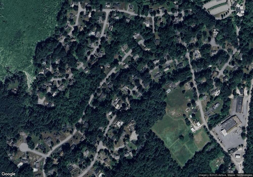
Map
Nearby Homes
- 246 Main St Unit 2
- 7 Kelley Rd
- 4,7,8 Crestwood Ln
- 116 Windsor Ave
- 19 Railroad St Unit D2
- 19 Railroad St Unit C2
- 129 Main St Unit 129
- 131 Main St
- 285 Central St Unit 285
- 90 Willow St Unit 1
- 92 Willow St Unit 3
- 92 Willow St Unit 2
- 40 High St
- 70 River St
- 5 Elm St Unit 1
- 71 Liberty St
- 46 Taylor Rd
- 11 Braebrook
- 128 Parker St Unit 3B
- 2 Marble Farm Rd