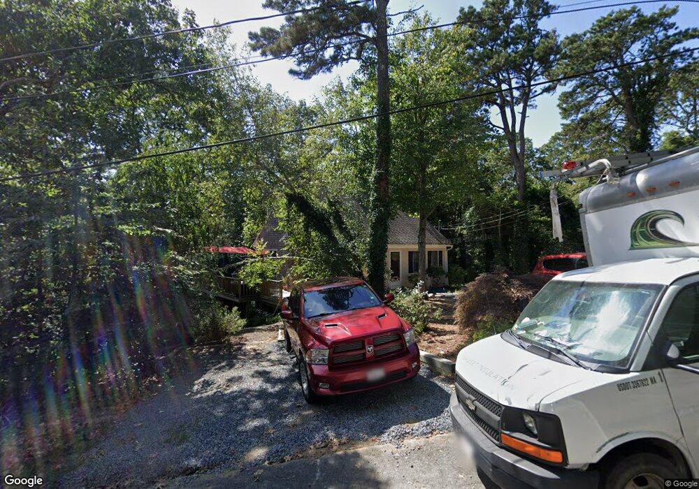
17 Uncle Jimmys Ln Yarmouth Port, MA 02675
Yarmouth Port NeighborhoodEstimated Value: $560,000 - $787,000
4
Beds
2
Baths
1,332
Sq Ft
$471/Sq Ft
Est. Value
About This Home
This home is located at 17 Uncle Jimmys Ln, Yarmouth Port, MA 02675 and is currently estimated at $627,933, approximately $471 per square foot. 17 Uncle Jimmys Ln is a home located in Barnstable County with nearby schools including Dennis-Yarmouth Regional High School and St. Pius X. School.
Ownership History
Date
Name
Owned For
Owner Type
Purchase Details
Closed on
Dec 12, 2002
Sold by
Brundage Gloria S
Bought by
Bearse Joyce M
Current Estimated Value
Home Financials for this Owner
Home Financials are based on the most recent Mortgage that was taken out on this home.
Original Mortgage
$125,000
Outstanding Balance
$53,423
Interest Rate
6.17%
Mortgage Type
Purchase Money Mortgage
Estimated Equity
$574,510
Create a Home Valuation Report for This Property
The Home Valuation Report is an in-depth analysis detailing your home's value as well as a comparison with similar homes in the area
Home Values in the Area
Average Home Value in this Area
Purchase History
| Date | Buyer | Sale Price | Title Company |
|---|---|---|---|
| Bearse Joyce M | $205,000 | -- |
Source: Public Records
Mortgage History
| Date | Status | Borrower | Loan Amount |
|---|---|---|---|
| Open | Bearse Joyce M | $125,000 |
Source: Public Records
Tax History Compared to Growth
Tax History
| Year | Tax Paid | Tax Assessment Tax Assessment Total Assessment is a certain percentage of the fair market value that is determined by local assessors to be the total taxable value of land and additions on the property. | Land | Improvement |
|---|---|---|---|---|
| 2025 | $3,427 | $484,000 | $159,900 | $324,100 |
| 2024 | $3,173 | $429,900 | $139,100 | $290,800 |
| 2023 | $3,478 | $428,800 | $126,400 | $302,400 |
| 2022 | $3,204 | $349,000 | $120,600 | $228,400 |
| 2021 | $3,153 | $329,800 | $120,600 | $209,200 |
| 2020 | $3,115 | $311,500 | $127,500 | $184,000 |
| 2019 | $2,922 | $289,300 | $127,500 | $161,800 |
| 2018 | $2,570 | $249,800 | $106,300 | $143,500 |
| 2017 | $2,503 | $249,800 | $106,300 | $143,500 |
| 2016 | $2,408 | $241,300 | $97,800 | $143,500 |
| 2015 | $2,243 | $223,400 | $93,500 | $129,900 |
Source: Public Records
Map
Nearby Homes
- 13 Covey Dr
- 111 Merchant Ave
- 4 Ebb Rd
- 6 Nimble Hill Dr
- 153 Bayridge Dr
- 11 Uncle Stanleys Way
- 118 Driftwood Ln
- 129 Driftwood Ln
- 59 Massachusetts 6a Unit 19-2
- 59 Main St Unit 19-2
- 59 Route 6a Unit 29-4
- 15 Captain Jud Rd
- 44 Stratford Ln
- 17 Margate Ln
- 4 Old Colony Way
- 86 Pompano Rd
- 51 Bray Farm Rd N
- 268 Main St
- 17 Fairmount Rd
- 43 Canterbury Rd
- 17 Uncle Jimmy's Ln
- 18 Aunt Dorahs Ln
- 23 Uncle Jimmys Ln
- 11 Uncle Jimmys Ln
- 10 Aunt Dorahs Ln
- 22 Uncle Jimmys Ln
- 14 Uncle Jimmy's Ln
- 14 Uncle Jimmys Ln
- 26 Aunt Dorahs Ln
- 17 Aunt Dorahs Ln
- 8 Uncle Jimmys Ln
- 1 Uncle Jimmys Ln
- 23 Aunt Dorahs Ln
- 21 Follins Pond Rd
- 219 Setucket Rd
- 9 Aunt Dorahs Ln
- 9 Aunt Dorah's Ln
- 11 Uncle Jimmy's Ln
- 233 Setucket Rd
- 10 Macomber Dr