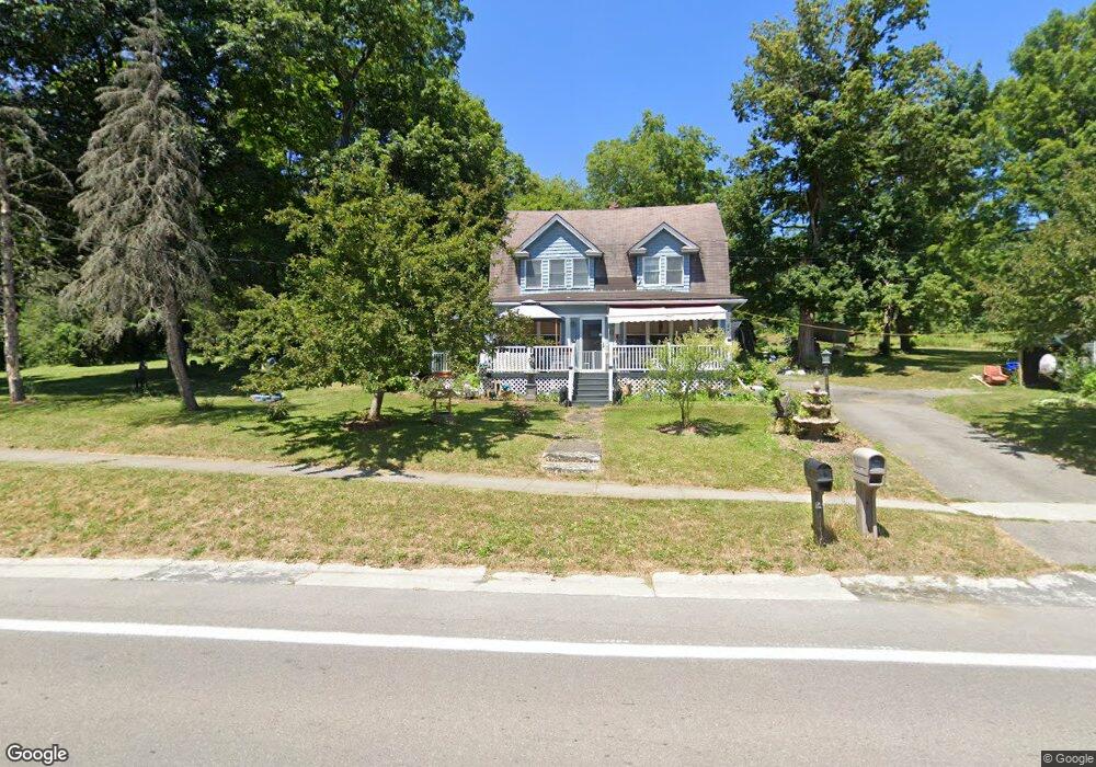
17 Utica St Port Byron, NY 13140
Estimated Value: $175,000 - $244,000
4
Beds
1
Bath
1,680
Sq Ft
$119/Sq Ft
Est. Value
About This Home
This home is located at 17 Utica St, Port Byron, NY 13140 and is currently estimated at $200,702, approximately $119 per square foot. 17 Utica St is a home located in Cayuga County with nearby schools including A.A. Gates Elementary School and Port Byron Senior High School.
Ownership History
Date
Name
Owned For
Owner Type
Purchase Details
Closed on
May 16, 2008
Sold by
Hayes William
Bought by
Mccarthy Edwin
Current Estimated Value
Home Financials for this Owner
Home Financials are based on the most recent Mortgage that was taken out on this home.
Original Mortgage
$110,129
Outstanding Balance
$69,963
Interest Rate
5.94%
Mortgage Type
FHA
Estimated Equity
$130,739
Purchase Details
Closed on
Sep 6, 2002
Sold by
O'Neil Daniel G
Bought by
Hayes William
Purchase Details
Closed on
Oct 16, 1997
Sold by
Kunkel Shirley
Bought by
Oneil Daniel G and Oneil Melissa S
Purchase Details
Closed on
Apr 24, 1996
Create a Home Valuation Report for This Property
The Home Valuation Report is an in-depth analysis detailing your home's value as well as a comparison with similar homes in the area
Home Values in the Area
Average Home Value in this Area
Purchase History
| Date | Buyer | Sale Price | Title Company |
|---|---|---|---|
| Mccarthy Edwin | $111,000 | Bruce Poushter | |
| Hayes William | $71,000 | Thad Sondej | |
| Oneil Daniel G | $62,500 | -- | |
| -- | -- | -- |
Source: Public Records
Mortgage History
| Date | Status | Borrower | Loan Amount |
|---|---|---|---|
| Open | Mccarthy Edwin | $110,129 |
Source: Public Records
Tax History Compared to Growth
Tax History
| Year | Tax Paid | Tax Assessment Tax Assessment Total Assessment is a certain percentage of the fair market value that is determined by local assessors to be the total taxable value of land and additions on the property. | Land | Improvement |
|---|---|---|---|---|
| 2024 | $4,088 | $102,300 | $14,000 | $88,300 |
| 2023 | $4,197 | $102,300 | $14,000 | $88,300 |
| 2022 | $4,089 | $102,300 | $14,000 | $88,300 |
| 2021 | $4,153 | $102,300 | $14,000 | $88,300 |
| 2020 | $3,671 | $102,300 | $14,000 | $88,300 |
| 2019 | $937 | $102,300 | $14,000 | $88,300 |
| 2018 | $3,510 | $102,300 | $14,000 | $88,300 |
| 2017 | $3,515 | $102,300 | $14,000 | $88,300 |
| 2016 | $3,468 | $102,300 | $14,000 | $88,300 |
| 2015 | -- | $95,500 | $14,000 | $81,500 |
| 2014 | -- | $95,500 | $14,000 | $81,500 |
Source: Public Records
Map
Nearby Homes
- 179 Main St
- 5 Canal St
- 5 First Hill St
- 8299 State Street Rd
- 8048 Lasher Rd
- 2653 Washington St
- 8052 Centerport Rd
- 8914 Jackson St
- 2756 Green St
- 2757 Green St
- 2809 Sharon St
- 2808 Sharon St
- 1261 Stickles Ln
- 2917 Ryan Rd
- 2919 E Brutus Street Rd
- 1218 Hard Point Rd
- 00 Hickory Island
- 7355 Powers Rd
- 8089 State Route 90
- 2223 Turnpike Rd
- 21 Utica St
- 0 Route 31 Unit S218265
- 0 State Route 31 Unit S310772
- 0 State Route 31 Unit R1379750
- 20 Utica St
- 14 Utica St
- 23 Utica St
- 17 Maple Ave
- 25 Utica St
- 0 Utica St
- 33 Utica St
- 21 Maple Ave
- 170 Main St
- 37 Utica Street (Rt 31)
- 37 Utica St
- 25 Maple Ave
- 190 Main St
- 178 Main St
- 186 Main St
- 174 Main St