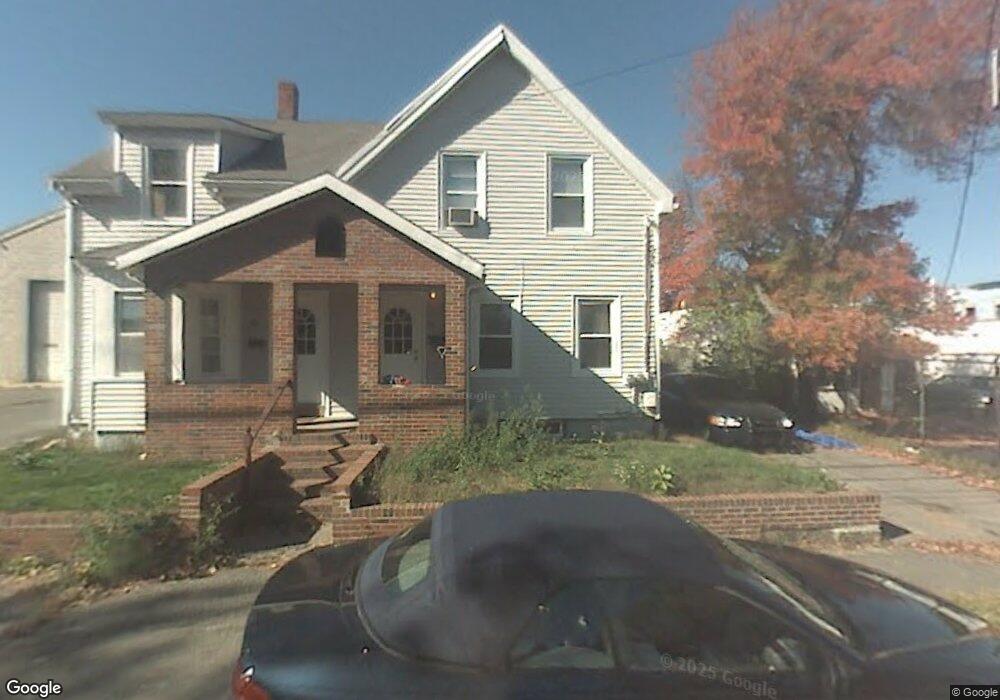
17 Vernon St Quincy, MA 02169
South Quincy NeighborhoodEstimated Value: $650,240
--
Bed
2
Baths
--
Sq Ft
0.28
Acres
About This Home
This home is located at 17 Vernon St, Quincy, MA 02169 and is currently estimated at $650,240. 17 Vernon St is a home located in Norfolk County with nearby schools including South West Middle School, Lincoln-Hancock Community School, and Quincy High School.
Ownership History
Date
Name
Owned For
Owner Type
Purchase Details
Closed on
May 16, 1997
Sold by
Milone Tr Angelo A
Bought by
Conroy Thomas and Conroy Eileen
Current Estimated Value
Home Financials for this Owner
Home Financials are based on the most recent Mortgage that was taken out on this home.
Original Mortgage
$115,200
Outstanding Balance
$15,942
Interest Rate
8.12%
Mortgage Type
Commercial
Estimated Equity
$634,298
Create a Home Valuation Report for This Property
The Home Valuation Report is an in-depth analysis detailing your home's value as well as a comparison with similar homes in the area
Home Values in the Area
Average Home Value in this Area
Purchase History
| Date | Buyer | Sale Price | Title Company |
|---|---|---|---|
| Conroy Thomas | $144,000 | -- |
Source: Public Records
Mortgage History
| Date | Status | Borrower | Loan Amount |
|---|---|---|---|
| Open | Conroy Thomas | $115,200 |
Source: Public Records
Tax History Compared to Growth
Tax History
| Year | Tax Paid | Tax Assessment Tax Assessment Total Assessment is a certain percentage of the fair market value that is determined by local assessors to be the total taxable value of land and additions on the property. | Land | Improvement |
|---|---|---|---|---|
| 2025 | -- | $861,800 | $215,600 | $646,200 |
| 2024 | -- | $836,700 | $201,600 | $635,100 |
| 2023 | $0 | $827,100 | $199,600 | $627,500 |
| 2022 | $0 | $779,400 | $190,100 | $589,300 |
| 2021 | $0 | $723,200 | $188,200 | $535,000 |
| 2020 | $0 | $713,600 | $175,400 | $538,200 |
| 2019 | $0 | $701,000 | $173,700 | $527,300 |
| 2018 | $0 | $701,000 | $182,800 | $518,200 |
| 2017 | $0 | $582,000 | $177,300 | $404,700 |
| 2016 | -- | $555,500 | $185,800 | $369,700 |
| 2015 | -- | $561,300 | $192,100 | $369,200 |
| 2014 | -- | $501,000 | $187,800 | $313,200 |
Source: Public Records
Map
Nearby Homes
- 21 Totman St Unit 202
- 21 Totman St Unit 309
- 21 Totman St Unit Model-1
- 21 Totman St Unit 209
- 21 Totman St Unit 203
- 21 Totman St Unit 2
- 347 Centre St
- 118 Brook Rd Unit 2
- 94 Brook Rd Unit 3
- 56 Penn St Unit 4
- 21 Arthur St
- 91 Garfield St
- 64 Garfield St Unit B
- 14 Arthur Ave
- 12 Arthur Ave
- 57 Buckley St
- 46-48 Buckley St
- 51 Brook Rd
- 72 Federal Ave
- 211 West St Unit 12B
- 9 Vernon St
- 11 Vernon St
- 20A Branch St
- 20 Branch St
- 26 Branch St Unit 1
- 24 Branch St
- 24 Branch St Unit 2
- 269 Centre St
- 17 Branch St Unit 19
- 38 Branch St
- 19 Branch St
- 151 Intervale St Unit rear
- 151 Intervale St
- 153 Intervale St Unit 153
- 153 Intervale St
- 253 Centre St
- 23 Branch St Unit 3
- 23 Branch St
- 23 Branch St Unit 5
- 155 Intervale St