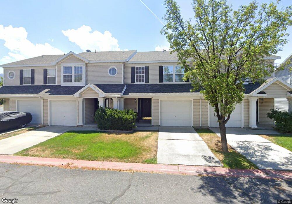
17 W 1930 N Tooele, UT 84074
Estimated Value: $293,000 - $319,000
2
Beds
2
Baths
1,290
Sq Ft
$236/Sq Ft
Est. Value
About This Home
This home is located at 17 W 1930 N, Tooele, UT 84074 and is currently estimated at $304,793, approximately $236 per square foot. 17 W 1930 N is a home located in Tooele County with nearby schools including Overlake Elementary School, Clarke N. Johnsen Junior High School, and Stansbury High School.
Ownership History
Date
Name
Owned For
Owner Type
Purchase Details
Closed on
Apr 6, 2016
Sold by
Nordfelt Darren L
Bought by
Goddard Brittany
Current Estimated Value
Purchase Details
Closed on
Oct 17, 2007
Sold by
Nordfelt Darren L and Wilson Sara D
Bought by
Nordfelt Darren L
Home Financials for this Owner
Home Financials are based on the most recent Mortgage that was taken out on this home.
Original Mortgage
$99,136
Interest Rate
6.36%
Mortgage Type
FHA
Create a Home Valuation Report for This Property
The Home Valuation Report is an in-depth analysis detailing your home's value as well as a comparison with similar homes in the area
Home Values in the Area
Average Home Value in this Area
Purchase History
| Date | Buyer | Sale Price | Title Company |
|---|---|---|---|
| Goddard Brittany | -- | Tooele Title Company | |
| Nordfelt Darren L | -- | None Available |
Source: Public Records
Mortgage History
| Date | Status | Borrower | Loan Amount |
|---|---|---|---|
| Previous Owner | Nordfelt Darren L | $99,136 |
Source: Public Records
Tax History Compared to Growth
Tax History
| Year | Tax Paid | Tax Assessment Tax Assessment Total Assessment is a certain percentage of the fair market value that is determined by local assessors to be the total taxable value of land and additions on the property. | Land | Improvement |
|---|---|---|---|---|
| 2025 | $1,945 | $285,021 | $73,000 | $212,021 |
| 2024 | $2,097 | $155,061 | $55,000 | $100,061 |
| 2023 | $2,097 | $146,112 | $36,300 | $109,812 |
| 2022 | $1,353 | $111,824 | $41,250 | $70,574 |
| 2021 | $1,500 | $103,065 | $13,750 | $89,315 |
| 2020 | $1,416 | $171,298 | $25,000 | $146,298 |
| 2019 | $1,034 | $123,797 | $17,284 | $106,513 |
| 2018 | $879 | $100,210 | $15,000 | $85,210 |
| 2017 | $743 | $100,210 | $15,000 | $85,210 |
| 2016 | $637 | $49,003 | $8,250 | $40,753 |
| 2015 | $637 | $45,186 | $0 | $0 |
| 2014 | -- | $45,186 | $0 | $0 |
Source: Public Records
Map
Nearby Homes
- 69 1930 N
- 1909 N 70 W
- 81 W 1930 N
- 1885 N 70 W Unit 619
- 1893 N 70 W
- 1893 N 70 W Unit 620
- 1877 N 70 W Unit 618
- 1861 N 70 W Unit 616
- 2057 N Loxley Dr
- 2065 N Loxley Dr
- Drysdale Twinhomes Plan at Drysdale Twinhomes
- 1778 Brett St
- 2117 N 170 W
- 1969 N 270 W
- 2177 N 130 W
- 2155 N 170 W
- 61 W 1570 N
- 94 E Broxburn Way
- 1206 N Berra Blvd
- 1558 Durocher Ln