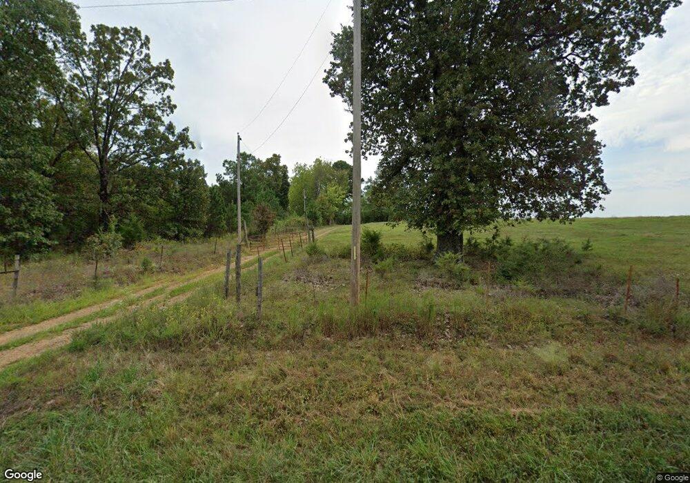
17 W Cedar Hill Rd Greenbrier, AR 72058
Estimated Value: $65,577 - $497,000
--
Bed
--
Bath
924
Sq Ft
$213/Sq Ft
Est. Value
About This Home
This home is located at 17 W Cedar Hill Rd, Greenbrier, AR 72058 and is currently estimated at $196,394, approximately $212 per square foot. 17 W Cedar Hill Rd is a home located in Faulkner County with nearby schools including Greenbrier Westside Elementary School, Greenbrier Junior High School, and Greenbrier High School.
Ownership History
Date
Name
Owned For
Owner Type
Purchase Details
Closed on
Aug 11, 2025
Sold by
Commissioner Of State Lands
Bought by
Bradberry Leon
Current Estimated Value
Purchase Details
Closed on
Mar 11, 2008
Bought by
Bradberry Amber and Bradberry Lv
Purchase Details
Closed on
Mar 7, 2005
Bought by
Redempt# 207419
Purchase Details
Closed on
Jul 30, 1996
Bought by
Leon Bradberry
Purchase Details
Closed on
Jul 29, 1996
Bought by
Bradberry Amber and Bradberry Lv
Purchase Details
Closed on
Mar 28, 1995
Bought by
Damascus
Create a Home Valuation Report for This Property
The Home Valuation Report is an in-depth analysis detailing your home's value as well as a comparison with similar homes in the area
Home Values in the Area
Average Home Value in this Area
Purchase History
| Date | Buyer | Sale Price | Title Company |
|---|---|---|---|
| Bradberry Leon | $1,070 | None Listed On Document | |
| Bradberry Amber | -- | -- | |
| Redempt# 207419 | -- | -- | |
| Leon Bradberry | $7,000 | -- | |
| Reynolds | -- | -- | |
| Bradberry Amber | -- | -- | |
| Damascus | -- | -- |
Source: Public Records
Tax History Compared to Growth
Tax History
| Year | Tax Paid | Tax Assessment Tax Assessment Total Assessment is a certain percentage of the fair market value that is determined by local assessors to be the total taxable value of land and additions on the property. | Land | Improvement |
|---|---|---|---|---|
| 2025 | $228 | $5,600 | $5,500 | $100 |
| 2024 | $211 | $5,600 | $5,500 | $100 |
| 2023 | $191 | $4,600 | $4,500 | $100 |
| 2022 | $177 | $4,600 | $4,500 | $100 |
| 2021 | $162 | $4,600 | $4,500 | $100 |
| 2020 | $147 | $2,990 | $2,750 | $240 |
| 2019 | $147 | $2,990 | $2,750 | $240 |
| 2018 | $147 | $2,990 | $2,750 | $240 |
| 2017 | $147 | $2,990 | $2,750 | $240 |
| 2016 | $147 | $2,990 | $2,750 | $240 |
| 2015 | $137 | $2,950 | $2,750 | $200 |
| 2014 | $137 | $2,950 | $2,750 | $200 |
Source: Public Records
Map
Nearby Homes
- 52 Sky Eagle Dr
- 44 Sky Eagle Dr
- 43 Sky Eagle Dr
- 20 Sky Eagle Dr
- 19 Sky Eagle Dr
- 4 Woodridge Dr
- 6 Sugar Maple Dr
- 10 Sugar Maple Dr
- 2 Silver Leaf Cove
- 92 W Cedar Hill Rd
- 25 W Cedar Hill Rd
- 27 Woodridge Dr
- 51 Trina Loop
- 7 Pine Shadow Dr
- 5 Pine Shadow
- 6 Stockbridge Dr
- 0 Beene Rd
- 24 Thorn Cemetery
- 39 Trenton Dr
- 4 Lieblong Rd
- W Cedar Hill Rd
- 24 W Cedar Hill Rd
- 12 W Cedar Hill Rd
- 0 Hwy 65 N Unit 15026779
- 0 Hwy 65 N Unit 19034356
- 0 Hwy 65 N Unit 17002795
- 0 Hwy 65 N Unit 15028129
- 0 Hwy 65 N Unit 20009824
- 0000 Hwy 65 N
- 1131 Highway 65 N
- 32 W Cedar Hill Rd
- 4 W Cedar Hill Rd
- 1154 Highway 65 N
- 1115 Hwy 65 N
- 59 W Cedar Hill Rd
- 1115 Highway 65 N
- 1191 Hwy 65 N
- 28 Sky Eagle Dr
- 45 Mcnabb Rd
- Lot 4 Hwy 65 Sky Eagle Dr