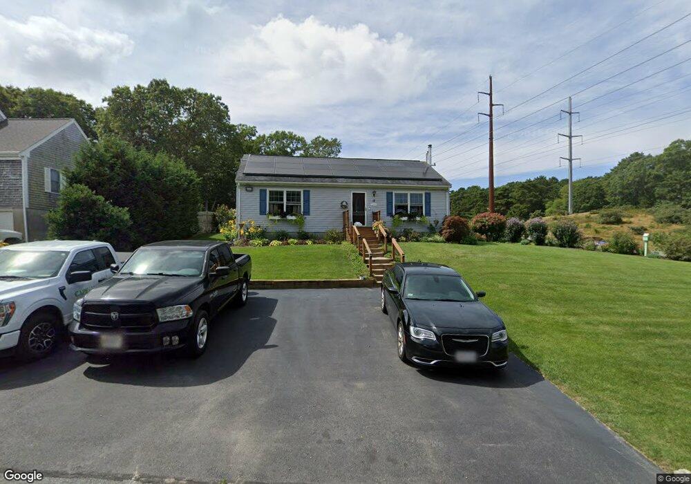
17 Wager Ln South Dennis, MA 02660
South Dennis NeighborhoodEstimated Value: $509,000 - $619,000
2
Beds
1
Bath
960
Sq Ft
$574/Sq Ft
Est. Value
About This Home
This home is located at 17 Wager Ln, South Dennis, MA 02660 and is currently estimated at $550,985, approximately $573 per square foot. 17 Wager Ln is a home located in Barnstable County with nearby schools including Dennis-Yarmouth Regional High School.
Ownership History
Date
Name
Owned For
Owner Type
Purchase Details
Closed on
Jul 24, 2009
Sold by
Spahr Marilyn M
Bought by
Perry Brian M and Kearney Valdene L
Current Estimated Value
Home Financials for this Owner
Home Financials are based on the most recent Mortgage that was taken out on this home.
Original Mortgage
$230,743
Outstanding Balance
$152,650
Interest Rate
5.58%
Mortgage Type
Purchase Money Mortgage
Estimated Equity
$398,335
Purchase Details
Closed on
Apr 9, 2002
Sold by
Carpenter Burton J and Carpenter Joan C
Bought by
Spahr Marilyn M
Home Financials for this Owner
Home Financials are based on the most recent Mortgage that was taken out on this home.
Original Mortgage
$162,450
Interest Rate
6.85%
Mortgage Type
Purchase Money Mortgage
Create a Home Valuation Report for This Property
The Home Valuation Report is an in-depth analysis detailing your home's value as well as a comparison with similar homes in the area
Home Values in the Area
Average Home Value in this Area
Purchase History
| Date | Buyer | Sale Price | Title Company |
|---|---|---|---|
| Perry Brian M | $235,000 | -- | |
| Spahr Marilyn M | $171,000 | -- |
Source: Public Records
Mortgage History
| Date | Status | Borrower | Loan Amount |
|---|---|---|---|
| Open | Perry Brian M | $230,743 | |
| Previous Owner | Spahr Marilyn M | $162,450 |
Source: Public Records
Tax History Compared to Growth
Tax History
| Year | Tax Paid | Tax Assessment Tax Assessment Total Assessment is a certain percentage of the fair market value that is determined by local assessors to be the total taxable value of land and additions on the property. | Land | Improvement |
|---|---|---|---|---|
| 2025 | $1,987 | $458,800 | $118,400 | $340,400 |
| 2024 | $1,907 | $434,300 | $113,900 | $320,400 |
| 2023 | $1,861 | $398,400 | $103,500 | $294,900 |
| 2022 | $1,821 | $325,200 | $103,600 | $221,600 |
| 2021 | $6,344 | $289,800 | $101,600 | $188,200 |
| 2020 | $5,629 | $274,400 | $101,600 | $172,800 |
| 2019 | $1,636 | $265,200 | $109,600 | $155,600 |
| 2018 | $1,501 | $236,800 | $94,800 | $142,000 |
| 2017 | $1,423 | $231,400 | $94,800 | $136,600 |
| 2016 | $1,409 | $215,700 | $99,600 | $116,100 |
| 2015 | $1,380 | $215,700 | $99,600 | $116,100 |
| 2014 | $1,188 | $187,100 | $85,300 | $101,800 |
Source: Public Records
Map
Nearby Homes
- 15 Captain Jud Rd
- 32 Captain Walsh Dr
- 153 Bayridge Dr
- 17 Margate Ln
- 4 Ebb Rd
- 13 Covey Dr
- 10 Joanne Dr
- 21 Compass Ln
- 59 Main St Unit 19-2
- 59 Route 6a Unit 29-4
- 25 Skerry Rd
- 15 Trudy Cir
- 111 Merchant Ave
- 59 Massachusetts 6a Unit 19-2
- 6 Nimble Hill Dr
- 268 Main St
- 17 Fairmount Rd
- 61 Barque Cir
- 118 Driftwood Ln
- 17 Fairmount Rd