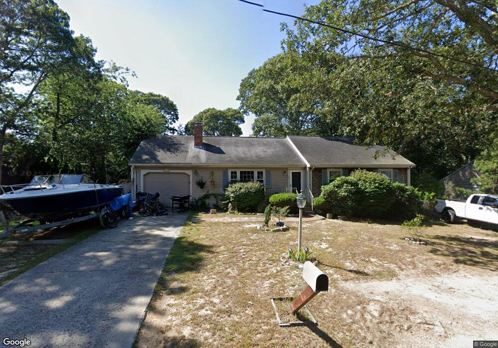
17 Waggon Rd Yarmouth Port, MA 02675
Yarmouth Port NeighborhoodEstimated Value: $601,979 - $736,000
3
Beds
3
Baths
1,188
Sq Ft
$545/Sq Ft
Est. Value
About This Home
This home is located at 17 Waggon Rd, Yarmouth Port, MA 02675 and is currently estimated at $647,495, approximately $545 per square foot. 17 Waggon Rd is a home located in Barnstable County with nearby schools including Dennis-Yarmouth Regional High School and St. Pius X. School.
Ownership History
Date
Name
Owned For
Owner Type
Purchase Details
Closed on
Nov 30, 2006
Sold by
Veara Nicole A
Bought by
Veara Scott R and Veara Wendy L
Current Estimated Value
Home Financials for this Owner
Home Financials are based on the most recent Mortgage that was taken out on this home.
Original Mortgage
$171,700
Outstanding Balance
$102,940
Interest Rate
6.36%
Mortgage Type
Purchase Money Mortgage
Estimated Equity
$544,555
Create a Home Valuation Report for This Property
The Home Valuation Report is an in-depth analysis detailing your home's value as well as a comparison with similar homes in the area
Home Values in the Area
Average Home Value in this Area
Purchase History
| Date | Buyer | Sale Price | Title Company |
|---|---|---|---|
| Veara Scott R | $67,196 | -- |
Source: Public Records
Mortgage History
| Date | Status | Borrower | Loan Amount |
|---|---|---|---|
| Open | Veara Scott R | $171,700 |
Source: Public Records
Tax History Compared to Growth
Tax History
| Year | Tax Paid | Tax Assessment Tax Assessment Total Assessment is a certain percentage of the fair market value that is determined by local assessors to be the total taxable value of land and additions on the property. | Land | Improvement |
|---|---|---|---|---|
| 2025 | $3,631 | $512,900 | $164,300 | $348,600 |
| 2024 | $3,418 | $463,100 | $142,900 | $320,200 |
| 2023 | $3,354 | $413,600 | $129,900 | $283,700 |
| 2022 | $3,210 | $349,700 | $124,000 | $225,700 |
| 2021 | $3,014 | $315,300 | $124,000 | $191,300 |
| 2020 | $3,019 | $301,900 | $131,300 | $170,600 |
| 2019 | $2,798 | $277,000 | $131,300 | $145,700 |
| 2018 | $2,625 | $255,100 | $109,400 | $145,700 |
| 2017 | $2,556 | $255,100 | $109,400 | $145,700 |
| 2016 | $2,458 | $246,300 | $100,600 | $145,700 |
| 2015 | $2,501 | $249,100 | $96,300 | $152,800 |
Source: Public Records
Map
Nearby Homes
- 44 Stratford Ln
- 86 Pompano Rd
- 43 Canterbury Rd
- 34 Kates Path
- 34 Kates Path Unit 34
- 6 Nimble Hill Dr
- 64 Kates Path
- 17 Kates Path Unit A
- 228 Kates Path
- 25 Oak Glen Village Unit 25
- 25 Oak Glen
- 1 Barnacle Rd
- 50 John Hall Cartway
- 50 John Hall Cartway Unit 50
- 42 John Hall Cartway Unit 42
- 111 Merchant Ave
- 7 Forest Gate Unit 7
- 2 Pine Grove
- 59 Main St Unit 19-2
- 59 Route 6a Unit 29-4