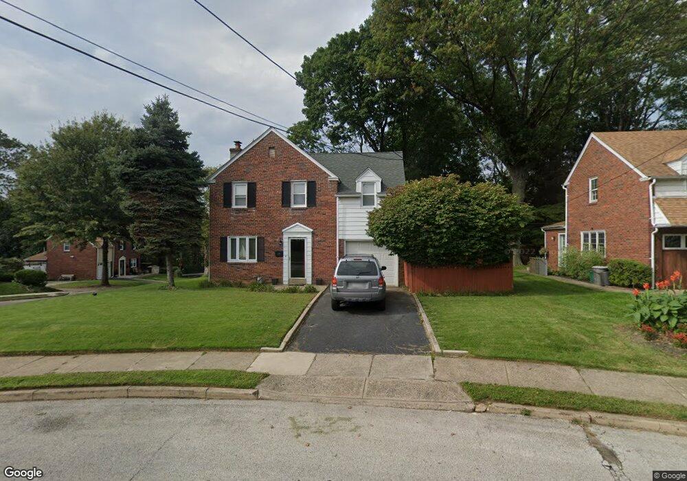
17 Walsh Rd Lansdowne, PA 19050
Estimated Value: $311,762 - $374,000
3
Beds
1
Bath
1,512
Sq Ft
$234/Sq Ft
Est. Value
About This Home
This home is located at 17 Walsh Rd, Lansdowne, PA 19050 and is currently estimated at $353,691, approximately $233 per square foot. 17 Walsh Rd is a home located in Delaware County with nearby schools including Ardmore Avenue School, Penn Wood Middle School, and Penn Wood High School - Cypress Street Campus.
Ownership History
Date
Name
Owned For
Owner Type
Purchase Details
Closed on
Jan 16, 2009
Sold by
Kloos Robert and Kloos Frances
Bought by
Shearer Cary G and Shearer Tracy Y
Current Estimated Value
Home Financials for this Owner
Home Financials are based on the most recent Mortgage that was taken out on this home.
Original Mortgage
$156,000
Outstanding Balance
$100,330
Interest Rate
5.51%
Mortgage Type
Purchase Money Mortgage
Estimated Equity
$253,361
Purchase Details
Closed on
Oct 29, 1997
Sold by
Siegel Thomas A and Sillman Amy L
Bought by
Kloos Robert and Kloos Frances
Create a Home Valuation Report for This Property
The Home Valuation Report is an in-depth analysis detailing your home's value as well as a comparison with similar homes in the area
Home Values in the Area
Average Home Value in this Area
Purchase History
| Date | Buyer | Sale Price | Title Company |
|---|---|---|---|
| Shearer Cary G | $195,000 | Lawyers Title Ins | |
| Kloos Robert | $100,000 | Commonwealth Land Title Ins |
Source: Public Records
Mortgage History
| Date | Status | Borrower | Loan Amount |
|---|---|---|---|
| Open | Shearer Cary G | $156,000 |
Source: Public Records
Tax History Compared to Growth
Tax History
| Year | Tax Paid | Tax Assessment Tax Assessment Total Assessment is a certain percentage of the fair market value that is determined by local assessors to be the total taxable value of land and additions on the property. | Land | Improvement |
|---|---|---|---|---|
| 2025 | $6,836 | $166,020 | $57,800 | $108,220 |
| 2024 | $6,836 | $166,020 | $57,800 | $108,220 |
| 2023 | $6,517 | $166,020 | $57,800 | $108,220 |
| 2022 | $6,389 | $166,020 | $57,800 | $108,220 |
| 2021 | $9,594 | $166,020 | $57,800 | $108,220 |
| 2020 | $6,689 | $102,000 | $102,000 | $0 |
| 2019 | $6,577 | $102,000 | $102,000 | $0 |
| 2018 | $6,464 | $102,000 | $0 | $0 |
| 2017 | $6,322 | $102,000 | $0 | $0 |
| 2016 | $560 | $102,000 | $0 | $0 |
| 2015 | $560 | $102,000 | $0 | $0 |
| 2014 | $560 | $102,000 | $0 | $0 |
Source: Public Records
Map
Nearby Homes
- 108 Gladstone Rd
- 233 Scottdale Rd
- 257 W Greenwood Ave
- 80 W Baltimore Ave Unit B510
- 185 Berkley Ave
- 182 Berkley Ave
- 271 Drexel Ave
- 82 Marple Ave
- 3847 Dennison Ave
- 442 E Baltimore Ave
- 38 W Stratford Ave
- 223 W Plumstead Ave
- 162 Burmont Rd
- 0 Bridge St
- 3941 Bridge St
- 225 Glentay Ave
- 29 W Stratford Ave
- 3817 Berkley Ave
- 162 W Albemarle Ave
- 231 Burmont Rd