17 Wapping Rd Kingston, MA 02364
Estimated Value: $678,095 - $751,000
About This Home
This home is located at 17 Wapping Rd, Kingston, MA 02364 and is currently estimated at $713,274, approximately $312 per square foot. 17 Wapping Rd is a home with nearby schools including Kingston Elementary School, Silver Lake Regional High School, and Kingston Intermediate School.
Ownership History
We collect this data history from publicly available records. To have your information removed, we recommend requesting removal directly through your county’s website.
Purchase Details
Home Values in the Area
Average Home Value in this Area
Purchase History
We collect this data history from publicly available records. To have your information removed, we recommend requesting removal directly through your county’s website.
| Date | Buyer | Sale Price | Title Company |
|---|---|---|---|
| -- | -- |
Mortgage History
We collect this data history from publicly available records. To have your information removed, we recommend requesting removal directly through your county’s website.
| Date | Status | Borrower | Loan Amount |
|---|---|---|---|
| Open | $25,000 | ||
| Previous Owner | $50,000 |
Tax History
We collect this data history from publicly available records. To have your information removed, we recommend requesting removal directly through your county’s website.
| Year | Tax Paid | Tax Assessment Tax Assessment Total Assessment is a certain percentage of the fair market value that is determined by local assessors to be the total taxable value of land and additions on the property. | Land | Improvement |
|---|---|---|---|---|
| 2025 | $7,951 | $613,000 | $229,400 | $383,600 |
| 2024 | $7,017 | $552,100 | $200,500 | $351,600 |
| 2023 | $6,816 | $510,200 | $200,500 | $309,700 |
| 2022 | $6,681 | $458,200 | $183,000 | $275,200 |
| 2021 | $5,877 | $417,000 | $183,000 | $234,000 |
| 2020 | $6,670 | $409,700 | $183,000 | $226,700 |
| 2019 | $6,584 | $400,000 | $183,000 | $217,000 |
| 2018 | $5,194 | $378,000 | $183,000 | $195,000 |
| 2017 | $6,089 | $369,000 | $177,800 | $191,200 |
| 2016 | $5,917 | $336,000 | $162,800 | $173,200 |
| 2015 | $5,731 | $338,300 | $162,800 | $175,500 |
| 2014 | $5,681 | $340,600 | $162,800 | $177,800 |
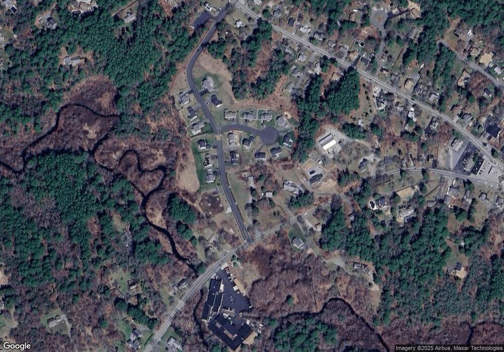
Map
- 10 Wapping Rd
- 26 Brookings Dr
- 38 Grove St
- 64 Wapping Rd
- 68 Elm St Unit 68
- 46 Foxworth Ln
- 19 Lodgepole Ln
- 129 Elm St
- 11 Center St
- 18 Foxtail Dr
- 96 Summer St
- Lot 17-1 Howland's Ln
- 123 Summer St
- 9 Maple St
- 71 Fountain Knoll Ln
- 33 Indian Pond Rd
- 103 Wapping Rd
- 35 Maple St
- 38 Landing Rd
- 7 Fountain Knoll Ln
- 19 Wapping Rd
- 5 Captain Jones Way
- 5 Captain Jones Way
- 3 Barrows Brook Cir
- 3 Barrows Brook Cir
- 4 Captain Jones Way
- 4 Captain Jones Way
- 7 Captain Jones Way
- 6 Captain Jones Way
- 6 Captain Jones Way
- 7 Barrows Brook Cir
- 8 Captain Jones Way
- 15 Wapping Rd
- 10 Barrows Brook Cir
- 10 Captain Jones Way
- 6 Barrows Brook Cir
- 2 Barrows Brook Cir
- 2 Barrows Brook Cir
- 8 Barrows Brook Cir
- 11 Wapping Rd
Ask me questions while you tour the home.