17 West Dr Sag Harbor, NY 11963
Estimated Value: $2,567,000 - $3,422,000
3
Beds
2
Baths
2,420
Sq Ft
$1,269/Sq Ft
Est. Value
About This Home
This home is located at 17 West Dr, Sag Harbor, NY 11963 and is currently estimated at $3,071,282, approximately $1,269 per square foot. 17 West Dr is a home located in Suffolk County with nearby schools including Sag Harbor Elementary School and Pierson Middle/High School.
Ownership History
Date
Name
Owned For
Owner Type
Purchase Details
Closed on
Apr 24, 2000
Sold by
Weber Laurence L and Weber Augusta
Bought by
Remkus Christopher P and Remkus Valerie A
Current Estimated Value
Home Financials for this Owner
Home Financials are based on the most recent Mortgage that was taken out on this home.
Original Mortgage
$246,000
Interest Rate
8.21%
Create a Home Valuation Report for This Property
The Home Valuation Report is an in-depth analysis detailing your home's value as well as a comparison with similar homes in the area
Home Values in the Area
Average Home Value in this Area
Purchase History
| Date | Buyer | Sale Price | Title Company |
|---|---|---|---|
| Remkus Christopher P | $486,000 | Commonwealth Land Title |
Source: Public Records
Mortgage History
| Date | Status | Borrower | Loan Amount |
|---|---|---|---|
| Closed | Remkus Christopher P | $246,000 |
Source: Public Records
Tax History Compared to Growth
Tax History
| Year | Tax Paid | Tax Assessment Tax Assessment Total Assessment is a certain percentage of the fair market value that is determined by local assessors to be the total taxable value of land and additions on the property. | Land | Improvement |
|---|---|---|---|---|
| 2024 | $1,565 | $1,543,400 | $1,062,800 | $480,600 |
| 2023 | $783 | $1,543,400 | $1,062,800 | $480,600 |
| 2022 | $8,248 | $1,543,400 | $1,062,800 | $480,600 |
| 2021 | $8,248 | $1,543,400 | $1,062,800 | $480,600 |
| 2020 | $9,970 | $1,543,400 | $1,062,800 | $480,600 |
| 2019 | $9,853 | $0 | $0 | $0 |
| 2018 | -- | $1,511,400 | $1,062,800 | $448,600 |
| 2017 | $7,762 | $1,224,300 | $775,700 | $448,600 |
| 2016 | $8,053 | $1,224,300 | $775,700 | $448,600 |
| 2015 | -- | $1,224,300 | $775,700 | $448,600 |
| 2014 | -- | $1,038,400 | $634,700 | $403,700 |
Source: Public Records
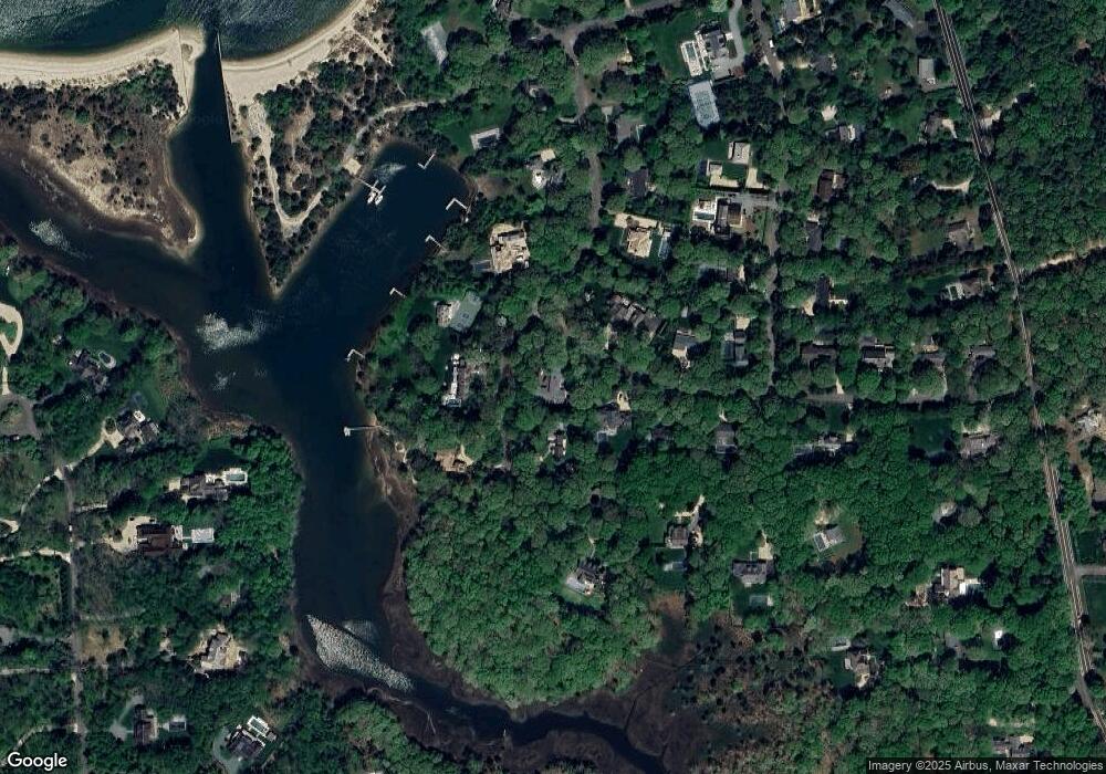
Map
Nearby Homes
- 8 Widow Coopers Path
- 3 N Haven Way
- 9 Seaponack Dr
- 27 Gardiners Path
- 12 N Haven Way
- 24 On the Bluffs
- 26 Mashomuck Dr
- 32 Mashomuck Dr
- 33 Mashomuck Dr
- 115 S Ferry Rd
- 31 Bayberry Ln
- 18 Sunset Rd
- 2 Sunset Rd
- 9 & 7 Westmoreland Dr
- 15A / 15 & 13 S Menantic Rd
- 21 Thompson Rd
- 166 Ferry Rd
- 15 Maunakea St
- 100 S Ferry Rd
- 27 Fresh Pond Rd