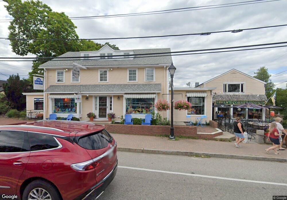
17 Western Ave Kennebunk, ME 04043
Estimated Value: $2,255,066
3
Beds
2
Baths
6,619
Sq Ft
$341/Sq Ft
Est. Value
About This Home
This home is located at 17 Western Ave, Kennebunk, ME 04043 and is currently estimated at $2,255,066, approximately $340 per square foot. 17 Western Ave is a home located in York County with nearby schools including Kennebunk High School, School Around Us, and The New School.
Ownership History
Date
Name
Owned For
Owner Type
Purchase Details
Closed on
Mar 3, 2010
Sold by
Sinclair Sara E
Bought by
Pipcosh Ent Llc
Current Estimated Value
Home Financials for this Owner
Home Financials are based on the most recent Mortgage that was taken out on this home.
Original Mortgage
$876,000
Outstanding Balance
$581,174
Interest Rate
5%
Mortgage Type
Commercial
Estimated Equity
$1,673,892
Create a Home Valuation Report for This Property
The Home Valuation Report is an in-depth analysis detailing your home's value as well as a comparison with similar homes in the area
Home Values in the Area
Average Home Value in this Area
Purchase History
| Date | Buyer | Sale Price | Title Company |
|---|---|---|---|
| Pipcosh Ent Llc | $996,000 | -- |
Source: Public Records
Mortgage History
| Date | Status | Borrower | Loan Amount |
|---|---|---|---|
| Open | Pipcosh Ent Llc | $876,000 |
Source: Public Records
Tax History Compared to Growth
Tax History
| Year | Tax Paid | Tax Assessment Tax Assessment Total Assessment is a certain percentage of the fair market value that is determined by local assessors to be the total taxable value of land and additions on the property. | Land | Improvement |
|---|---|---|---|---|
| 2024 | $11,634 | $686,400 | $371,500 | $314,900 |
| 2023 | $11,017 | $686,400 | $371,500 | $314,900 |
| 2022 | $10,021 | $686,400 | $371,500 | $314,900 |
| 2021 | $9,781 | $686,400 | $371,500 | $314,900 |
| 2020 | $9,713 | $686,400 | $371,500 | $314,900 |
| 2019 | $5,804 | $686,400 | $371,500 | $314,900 |
| 2018 | $9,009 | $514,800 | $278,600 | $236,200 |
| 2017 | $8,520 | $514,800 | $278,600 | $236,200 |
| 2016 | $8,185 | $514,800 | $278,600 | $236,200 |
| 2015 | $7,876 | $514,800 | $278,600 | $236,200 |
| 2014 | $7,671 | $514,800 | $278,600 | $236,200 |
Source: Public Records
Map
Nearby Homes
- 15 Christensen Ln Unit B1
- 7 Christensen Ln
- 12 Beach Ave
- 3 Breakwater Ct Unit 1
- 12 Wallace St
- Lot#39 Bufflehead Cove Ln
- 60 Ocean Ave
- 47 Maine St Unit 4
- 24 School St
- 28 River Locks Rd
- 17 Juniper Knoll
- 20 Surf Ln
- 77 North St
- Lot 2 Woodland Dr
- 147 Beach Ave Unit 42
- 143 Beach Ave Unit 205
- 143 Beach Ave Unit 203
- 2A Ivy Ln
- 20 Ephraim Tyler Way Unit 20
- 12 Ephraim Tyler Way
- 15 Western Ave
- 1 Coveside Ln
- 0 Beach Ave Unit 521583
- 0 Beach Ave Unit 521575
- 0 Beach Ave Unit 1050016
- 19 Western Ave
- 1 Chase Hill Rd Unit 8
- 1 Chase Hill Rd Unit 7
- 1 Chase Hill Rd Unit 6
- 1 Chase Hill Rd
- 2 Chase Hill Rd
- 13 Western Ave
- 14 Western Ave
- 184 Port Rd
- 17 Chase Hill Rd
- 4 Beach Ave
- 999999 Port Rd
- 1 Beach Ave
- 3 Beach Ave
- 11 Western Ave