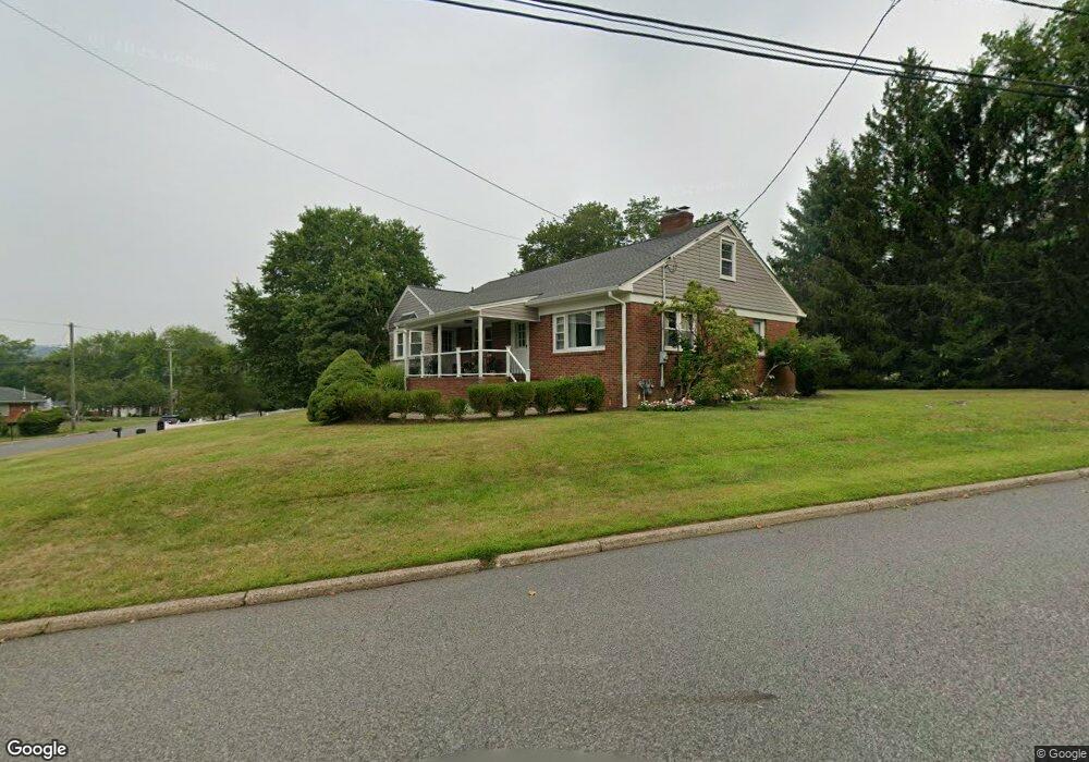
17 Westervelt Ave North Haledon, NJ 07508
Estimated Value: $647,000 - $725,000
--
Bed
--
Bath
1,638
Sq Ft
$424/Sq Ft
Est. Value
About This Home
This home is located at 17 Westervelt Ave, North Haledon, NJ 07508 and is currently estimated at $693,974, approximately $423 per square foot. 17 Westervelt Ave is a home located in Passaic County with nearby schools including Memorial Elementary School, High Mountain Middle School, and Manchester Reg High School.
Ownership History
Date
Name
Owned For
Owner Type
Purchase Details
Closed on
Sep 18, 2002
Sold by
Mamone John
Bought by
Nashed Michael and Nashed Kristine
Current Estimated Value
Home Financials for this Owner
Home Financials are based on the most recent Mortgage that was taken out on this home.
Original Mortgage
$65,000
Interest Rate
6.09%
Purchase Details
Closed on
Jan 28, 1999
Sold by
Vankruiningen Jeanette
Bought by
Dominguez Jose and Cajusol Juan
Home Financials for this Owner
Home Financials are based on the most recent Mortgage that was taken out on this home.
Original Mortgage
$167,690
Interest Rate
6.74%
Mortgage Type
FHA
Create a Home Valuation Report for This Property
The Home Valuation Report is an in-depth analysis detailing your home's value as well as a comparison with similar homes in the area
Home Values in the Area
Average Home Value in this Area
Purchase History
| Date | Buyer | Sale Price | Title Company |
|---|---|---|---|
| Nashed Michael | $380,000 | -- | |
| Dominguez Jose | $170,000 | -- |
Source: Public Records
Mortgage History
| Date | Status | Borrower | Loan Amount |
|---|---|---|---|
| Previous Owner | Nashed Michael | $65,000 | |
| Previous Owner | Dominguez Jose | $167,690 |
Source: Public Records
Tax History Compared to Growth
Tax History
| Year | Tax Paid | Tax Assessment Tax Assessment Total Assessment is a certain percentage of the fair market value that is determined by local assessors to be the total taxable value of land and additions on the property. | Land | Improvement |
|---|---|---|---|---|
| 2025 | $10,995 | $359,300 | $171,600 | $187,700 |
| 2024 | $10,632 | $359,300 | $171,600 | $187,700 |
| 2022 | $10,545 | $359,300 | $171,600 | $187,700 |
| 2021 | $10,438 | $359,300 | $171,600 | $187,700 |
| 2020 | $10,377 | $359,300 | $171,600 | $187,700 |
| 2019 | $10,290 | $359,300 | $171,600 | $187,700 |
| 2018 | $10,290 | $359,300 | $171,600 | $187,700 |
| 2017 | $10,240 | $359,300 | $171,600 | $187,700 |
| 2016 | $10,086 | $359,300 | $171,600 | $187,700 |
| 2015 | $9,989 | $359,300 | $171,600 | $187,700 |
| 2014 | $9,784 | $359,300 | $171,600 | $187,700 |
Source: Public Records
Map
Nearby Homes
- 304 Briarwood Dr
- 20 Pleasantview Dr
- 300 Merrywood Dr
- 57 Bensam Place
- 81 Edson Place
- 38 N Highcrest Dr
- 109 Graham Ave
- 81 Graham Ave
- 70 Highland Rd
- 492 Manchester Ave
- 0 Highview Terrace
- 184 Emeline Dr
- 113 Highview Terrace
- 732 Terrace Heights
- 113 Highview Ter Land
- 195 Brewster Rd
- 400 Goffle Hill Rd
- 118 Ullman Ave
- 4 Alpine Dr
- 3 Skyview Dr
- 17 Glenwood Dr
- 7 Westervelt Ave
- 18 Westervelt Ave
- 33 Westervelt Ave
- 712 Squaw Brook Rd
- 27 Glenwood Dr
- 30 Glenwood Dr
- 30 Westervelt Ave
- 700 Squaw Brook Rd
- 38 Westervelt Ave
- 43 Westervelt Ave
- 18 Lee Dr
- 30 Lee Dr
- 44 Westervelt Ave
- 738 Squaw Brook Rd
- 40 Lee Dr
- 37 Glenwood Dr
- 693 Squaw Brook Rd
- 53 Westervelt Ave
- 52 Westervelt Ave