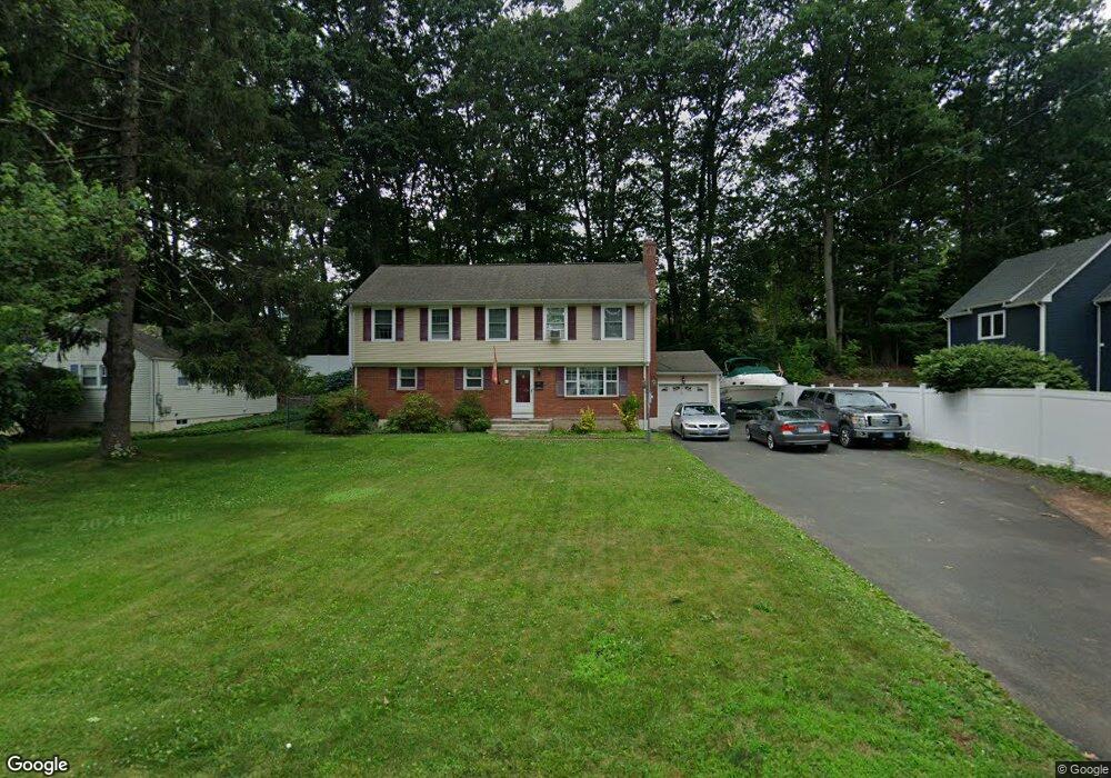
17 Westlook Rd Wethersfield, CT 06109
Estimated Value: $438,000 - $518,840
4
Beds
3
Baths
2,244
Sq Ft
$212/Sq Ft
Est. Value
About This Home
This home is located at 17 Westlook Rd, Wethersfield, CT 06109 and is currently estimated at $476,710, approximately $212 per square foot. 17 Westlook Rd is a home located in Hartford County with nearby schools including Emerson-Williams School, Silas Deane Middle School, and Wethersfield High School.
Ownership History
Date
Name
Owned For
Owner Type
Purchase Details
Closed on
Jul 10, 2025
Sold by
Bosco Ross W
Bought by
Bosco Olivia M
Current Estimated Value
Purchase Details
Closed on
Jan 26, 2018
Sold by
Bosco Michelle N
Bought by
Bosco Ross W
Purchase Details
Closed on
Jan 4, 1991
Sold by
Giuliano Beatrice
Bought by
Bosco Ross and Bosco Michelle
Create a Home Valuation Report for This Property
The Home Valuation Report is an in-depth analysis detailing your home's value as well as a comparison with similar homes in the area
Home Values in the Area
Average Home Value in this Area
Purchase History
| Date | Buyer | Sale Price | Title Company |
|---|---|---|---|
| Bosco Olivia M | $430,000 | -- | |
| Bosco Ross W | -- | None Available | |
| Bosco Ross W | -- | None Available | |
| Bosco Ross | $145,000 | -- |
Source: Public Records
Mortgage History
| Date | Status | Borrower | Loan Amount |
|---|---|---|---|
| Previous Owner | Bosco Ross | $151,945 | |
| Previous Owner | Bosco Ross | $51,546 | |
| Previous Owner | Bosco Ross | $189,000 | |
| Previous Owner | Bosco Ross | $148,800 |
Source: Public Records
Tax History
| Year | Tax Paid | Tax Assessment Tax Assessment Total Assessment is a certain percentage of the fair market value that is determined by local assessors to be the total taxable value of land and additions on the property. | Land | Improvement |
|---|---|---|---|---|
| 2025 | $12,489 | $302,980 | $98,000 | $204,980 |
| 2024 | $8,545 | $197,710 | $74,210 | $123,500 |
| 2023 | $8,260 | $197,710 | $74,210 | $123,500 |
| 2022 | $8,122 | $197,710 | $74,210 | $123,500 |
| 2021 | $8,041 | $197,710 | $74,210 | $123,500 |
| 2020 | $8,045 | $197,710 | $74,210 | $123,500 |
| 2019 | $8,055 | $197,710 | $74,210 | $123,500 |
| 2018 | $7,671 | $188,100 | $61,500 | $126,600 |
| 2017 | $7,481 | $188,100 | $61,500 | $126,600 |
| 2016 | $7,249 | $188,100 | $61,500 | $126,600 |
| 2015 | $7,184 | $188,100 | $61,500 | $126,600 |
| 2014 | $6,911 | $188,100 | $61,500 | $126,600 |
Source: Public Records
Map
Nearby Homes
- 173 Timber Trail
- 273 Forest Dr
- 47 Forest Dr
- 20 Forest Dr
- 97 Brussels Ave
- 116 Wells Farm Dr
- 1310 Berlin Turnpike Unit 223
- 19 Albert Ave
- 104 Willow St
- 7 Barrington Dr Unit C
- 90 Goodwin Park Rd
- 12 Bates Place
- 208 Mountain St
- 455 Brimfield Rd
- 219 Jordan Ln Unit 221
- 137 Dale Rd
- 79 Piper Brook Ave
- 43 Marion St
- 168 Hubbard Rd
- 70 Stillman Rd
Your Personal Tour Guide
Ask me questions while you tour the home.