17 Whitson St Unit 101 Forest Hills, NY 11375
Forest Hills NeighborhoodEstimated Value: $1,438,205 - $1,720,000
--
Bed
--
Bath
1,828
Sq Ft
$891/Sq Ft
Est. Value
About This Home
This home is located at 17 Whitson St Unit 101, Forest Hills, NY 11375 and is currently estimated at $1,628,051, approximately $890 per square foot. 17 Whitson St Unit 101 is a home located in Queens County with nearby schools including Ps 101 School In The Gardens, J.H.S. 190 Russell Sage, and Queens Metropolitan High School.
Ownership History
Date
Name
Owned For
Owner Type
Purchase Details
Closed on
Sep 25, 2017
Sold by
Mccarthy Christina S and Sole Surviving Distributee Of Norma J S
Bought by
Schnyder Mccarthy Properties Llc
Current Estimated Value
Purchase Details
Closed on
Oct 6, 2004
Sold by
Estate Of Walter R Schnyder Dod 0/2 and Schnyder
Bought by
Schnyder Christina M and Schnyder Norma J
Purchase Details
Closed on
Mar 12, 1997
Sold by
Schnyder Walter R
Bought by
Schnyder Walter R and Schnyder Norma
Create a Home Valuation Report for This Property
The Home Valuation Report is an in-depth analysis detailing your home's value as well as a comparison with similar homes in the area
Home Values in the Area
Average Home Value in this Area
Purchase History
| Date | Buyer | Sale Price | Title Company |
|---|---|---|---|
| Schnyder Mccarthy Properties Llc | -- | -- | |
| Schnyder Mccarthy Properties Llc | -- | -- | |
| Schnyder Mccarthy Properties Llc | -- | -- | |
| Schnyder Christina M | -- | -- | |
| Schnyder Christina M | -- | -- | |
| Schnyder Walter R | -- | -- | |
| Schnyder Walter R | -- | -- |
Source: Public Records
Tax History Compared to Growth
Tax History
| Year | Tax Paid | Tax Assessment Tax Assessment Total Assessment is a certain percentage of the fair market value that is determined by local assessors to be the total taxable value of land and additions on the property. | Land | Improvement |
|---|---|---|---|---|
| 2025 | $13,213 | $67,074 | $13,518 | $53,556 |
| 2024 | $13,213 | $65,784 | $15,888 | $49,896 |
| 2023 | $12,662 | $62,346 | $12,746 | $49,600 |
| 2022 | $11,759 | $95,640 | $18,780 | $76,860 |
| 2021 | $11,763 | $91,920 | $18,780 | $73,140 |
| 2020 | $11,831 | $91,020 | $18,780 | $72,240 |
| 2019 | $11,468 | $94,380 | $18,780 | $75,600 |
| 2018 | $10,591 | $51,955 | $11,388 | $40,567 |
| 2017 | $10,006 | $49,086 | $12,573 | $36,513 |
| 2016 | $9,312 | $49,086 | $12,573 | $36,513 |
| 2015 | $5,365 | $46,579 | $14,898 | $31,681 |
| 2014 | $5,365 | $45,684 | $17,528 | $28,156 |
Source: Public Records
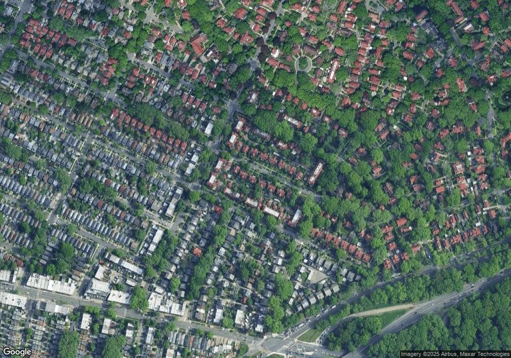
Map
Nearby Homes
- 23 Whitson St Unit 101
- 54 Ingram St
- 7212 Harrow St
- 72-04 Manse St
- 7110 Kessel St
- 1-34 71st Ave
- 134 71st Ave
- 70-47 Juno St
- 70-50 Ingram St
- 95-01 72nd Ave
- 116-33 Union Turnpike
- 165 Slocum Crescent
- 213 Burns St
- 70-43 Nansen St
- 40 Slocum Crescent
- 117-01 Park Ln S Unit C5D
- 117-01 Park Ln S Unit B2L
- 117-01 Park Ln S Unit A6E
- 117-01 Park Ln S Unit A6D
- 117-01 Park Ln S Unit C 1F
- 21 Whitson St Unit 101
- 15 Whitson St Unit 101
- 11 Whitson St Unit 101
- 27 Whitson St Unit 101
- 9 Whitson St Unit 101
- 7401 Kessel St
- 7405 Kessel St
- 7323 Kessel St
- 74-05 Kessel St
- 7407 Kessel St
- 7321 Kessel St
- 7409 Kessel St
- 29 Whitson St Unit 101
- 7319 Kessel St
- 5 Whitson St Unit 101
- 7411 Kessel St
- 7317 Kessel St
- 73-17 Kessel St
- 7315 Kessel St
- 33 Whitson St Unit 101