17 Williams Rd Wayland, MA 01778
Estimated Value: $1,464,000 - $2,002,000
4
Beds
3
Baths
3,327
Sq Ft
$524/Sq Ft
Est. Value
About This Home
This home is located at 17 Williams Rd, Wayland, MA 01778 and is currently estimated at $1,744,862, approximately $524 per square foot. 17 Williams Rd is a home located in Middlesex County with nearby schools including Wayland High School and Corwin-Russell School at Broccoli Hall.
Ownership History
Date
Name
Owned For
Owner Type
Purchase Details
Closed on
Oct 14, 1993
Sold by
Hayes Dev Corp
Bought by
Dambrosio Charles R and Serafini Marisa G
Current Estimated Value
Home Financials for this Owner
Home Financials are based on the most recent Mortgage that was taken out on this home.
Original Mortgage
$260,000
Interest Rate
6.87%
Mortgage Type
Purchase Money Mortgage
Create a Home Valuation Report for This Property
The Home Valuation Report is an in-depth analysis detailing your home's value as well as a comparison with similar homes in the area
Home Values in the Area
Average Home Value in this Area
Purchase History
| Date | Buyer | Sale Price | Title Company |
|---|---|---|---|
| Dambrosio Charles R | $420,000 | -- |
Source: Public Records
Mortgage History
| Date | Status | Borrower | Loan Amount |
|---|---|---|---|
| Closed | Dambrosio Charles R | $260,000 | |
| Closed | Dambrosio Charles R | $15,000 |
Source: Public Records
Tax History Compared to Growth
Tax History
| Year | Tax Paid | Tax Assessment Tax Assessment Total Assessment is a certain percentage of the fair market value that is determined by local assessors to be the total taxable value of land and additions on the property. | Land | Improvement |
|---|---|---|---|---|
| 2025 | $24,131 | $1,543,900 | $679,700 | $864,200 |
| 2024 | $22,847 | $1,472,100 | $647,100 | $825,000 |
| 2023 | $21,633 | $1,299,300 | $588,100 | $711,200 |
| 2022 | $21,088 | $1,149,200 | $487,100 | $662,100 |
| 2021 | $20,466 | $1,105,100 | $443,000 | $662,100 |
| 2020 | $19,627 | $1,105,100 | $443,000 | $662,100 |
| 2019 | $18,920 | $1,035,000 | $422,000 | $613,000 |
| 2018 | $18,053 | $1,001,300 | $422,000 | $579,300 |
| 2017 | $17,833 | $983,100 | $408,800 | $574,300 |
| 2016 | $16,799 | $968,800 | $417,900 | $550,900 |
| 2015 | $17,038 | $926,500 | $417,900 | $508,600 |
Source: Public Records
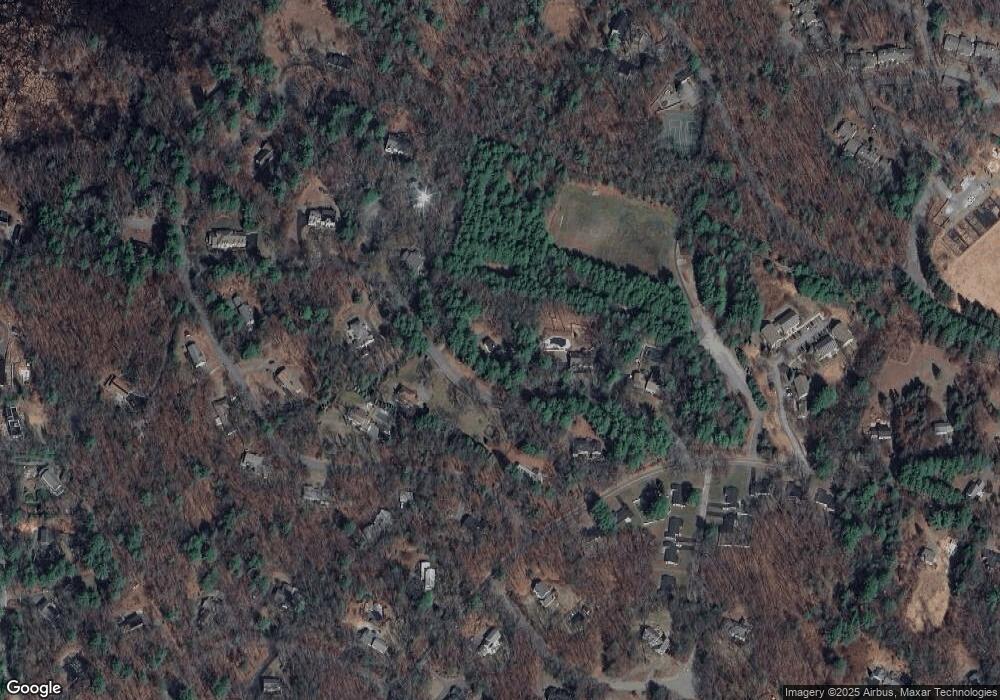
Map
Nearby Homes
- 11 Grove St
- 134 Chestnut Cir
- 25 Birchwood Ln
- 49 Birchwood Ln Unit 49
- 224 Aspen Cir
- 12 Pine Ridge Rd
- Lot 5 Sailaway Ln
- Lot 4 Sailaway Ln
- 2 Betts Way
- 8 Mina Way
- 0 Elm Unit 73282184
- Lot 9 Sailaway Ln
- 4 Betts Way
- 122 Sand Gully Rd N Unit B
- 941 Concord Rd
- 244 Lincoln Rd
- 394 Plainfield Rd Unit 394
- 93 Old Sudbury Rd
- 236 Lincoln Rd
- 56 Rookery Ln Unit 4