17 Williamsburg Way Medway, MA 02053
Estimated Value: $664,000 - $757,000
4
Beds
3
Baths
2,257
Sq Ft
$314/Sq Ft
Est. Value
About This Home
This home is located at 17 Williamsburg Way, Medway, MA 02053 and is currently estimated at $708,289, approximately $313 per square foot. 17 Williamsburg Way is a home located in Norfolk County with nearby schools including John D. McGovern Elementary School, Burke-Memorial Elementary, and Medway Middle School.
Ownership History
Date
Name
Owned For
Owner Type
Purchase Details
Closed on
Apr 27, 2012
Sold by
Williamsburg Condo Cor
Bought by
Sharma Mukul
Current Estimated Value
Home Financials for this Owner
Home Financials are based on the most recent Mortgage that was taken out on this home.
Original Mortgage
$348,750
Outstanding Balance
$241,745
Interest Rate
3.91%
Mortgage Type
New Conventional
Estimated Equity
$466,544
Create a Home Valuation Report for This Property
The Home Valuation Report is an in-depth analysis detailing your home's value as well as a comparison with similar homes in the area
Home Values in the Area
Average Home Value in this Area
Purchase History
| Date | Buyer | Sale Price | Title Company |
|---|---|---|---|
| Sharma Mukul | $387,500 | -- | |
| Sharma Mukul | $387,500 | -- |
Source: Public Records
Mortgage History
| Date | Status | Borrower | Loan Amount |
|---|---|---|---|
| Open | Sharma Mukul | $348,750 | |
| Closed | Sharma Mukul | $348,750 |
Source: Public Records
Tax History Compared to Growth
Tax History
| Year | Tax Paid | Tax Assessment Tax Assessment Total Assessment is a certain percentage of the fair market value that is determined by local assessors to be the total taxable value of land and additions on the property. | Land | Improvement |
|---|---|---|---|---|
| 2025 | $7,216 | $506,400 | $0 | $506,400 |
| 2024 | $7,292 | $506,400 | $0 | $506,400 |
| 2023 | $8,104 | $508,400 | $0 | $508,400 |
| 2022 | $8,243 | $486,900 | $0 | $486,900 |
| 2021 | $7,634 | $437,200 | $0 | $437,200 |
| 2020 | $7,886 | $450,600 | $0 | $450,600 |
| 2019 | $7,484 | $441,000 | $0 | $441,000 |
| 2018 | $7,788 | $441,000 | $0 | $441,000 |
| 2017 | $7,370 | $411,300 | $0 | $411,300 |
| 2016 | $7,179 | $396,400 | $0 | $396,400 |
| 2015 | $7,380 | $404,600 | $0 | $404,600 |
| 2014 | $7,088 | $376,200 | $300,000 | $76,200 |
Source: Public Records
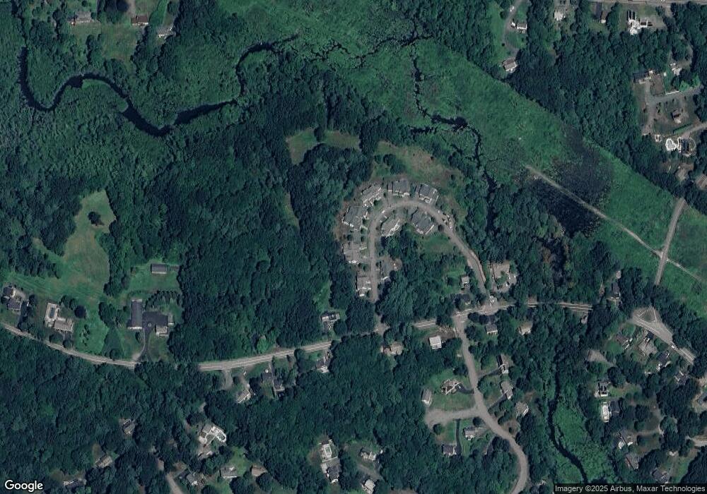
Map
Nearby Homes
- 22 Granite St
- 39 West St
- 9 Tulip Way
- 6 Rainbow Dr
- 4 Deerfield Rd
- 78 Fisher St
- 85 Fisher St
- 462 Hartford Ave
- 0 Old Log Lane (Farm St) Unit 73416329
- 455 Hartford Ave
- 6 Freedom Trail
- 5 Fales St
- 387 Hartford Ave
- 220 Main St Unit 220
- 176 Main St Unit 3
- 15 Broad Acres Farm Rd
- 18 Mary Anne Dr
- 14 Hawthorne Village Unit D
- 28 Wellington St
- 21 Riverside Rd
- 17 Williamsburg Way
- 19 Williamsburg Way
- 19 Williamsburg Way
- 21 Williamsburg Way Unit 21
- 23 Williamsburg Way
- 21 Williamsburg Way
- 23 Williamsburg Way
- 21 Williamsburg Way
- 10 Williamsburg Way
- 15 Williamsburg Way
- 13 Williamsburg Way
- 4 Williamsburg Way
- 8 Williamsburg Way
- 6 Williamsburg Way
- 8 Williamsburg Way Unit 8
- 9 Williamsburg Way
- 11 Williamsburg Way Unit 11
- 11 Williamsburg Way
- 2 Williamsburg Way
- 74 West St