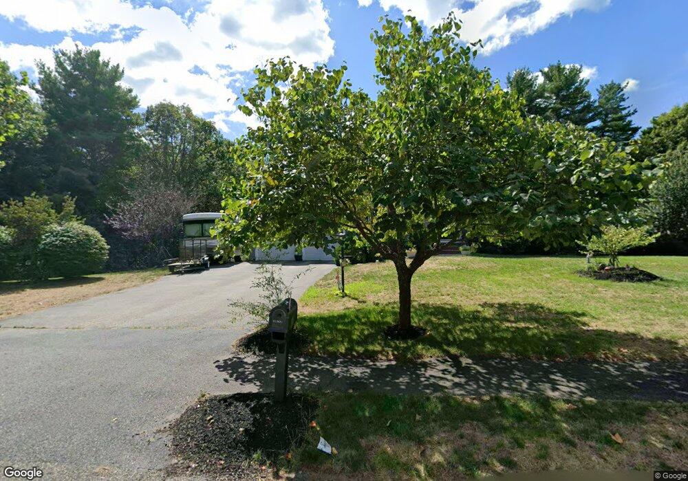
17 Willow Tree Ln Middleboro, MA 02346
Estimated Value: $684,227 - $773,000
3
Beds
3
Baths
2,192
Sq Ft
$333/Sq Ft
Est. Value
About This Home
This home is located at 17 Willow Tree Ln, Middleboro, MA 02346 and is currently estimated at $729,807, approximately $332 per square foot. 17 Willow Tree Ln is a home located in Plymouth County with nearby schools including Mary K. Goode Elementary School.
Ownership History
Date
Name
Owned For
Owner Type
Purchase Details
Closed on
Jan 10, 2005
Sold by
Cmg Group Llc and Gordon Candace M
Bought by
Costa Robert A
Current Estimated Value
Home Financials for this Owner
Home Financials are based on the most recent Mortgage that was taken out on this home.
Original Mortgage
$330,000
Interest Rate
5.75%
Mortgage Type
Purchase Money Mortgage
Create a Home Valuation Report for This Property
The Home Valuation Report is an in-depth analysis detailing your home's value as well as a comparison with similar homes in the area
Home Values in the Area
Average Home Value in this Area
Purchase History
| Date | Buyer | Sale Price | Title Company |
|---|---|---|---|
| Costa Robert A | $435,000 | -- |
Source: Public Records
Mortgage History
| Date | Status | Borrower | Loan Amount |
|---|---|---|---|
| Open | Costa Robert A | $271,500 | |
| Closed | Costa Robert A | $282,500 | |
| Closed | Costa Robert A | $330,000 |
Source: Public Records
Tax History Compared to Growth
Tax History
| Year | Tax Paid | Tax Assessment Tax Assessment Total Assessment is a certain percentage of the fair market value that is determined by local assessors to be the total taxable value of land and additions on the property. | Land | Improvement |
|---|---|---|---|---|
| 2025 | $7,152 | $533,300 | $163,300 | $370,000 |
| 2024 | $7,221 | $533,300 | $155,800 | $377,500 |
| 2023 | $6,540 | $459,300 | $155,800 | $303,500 |
| 2022 | $6,063 | $394,200 | $135,400 | $258,800 |
| 2021 | $6,064 | $372,700 | $124,400 | $248,300 |
| 2020 | $5,888 | $370,800 | $124,400 | $246,400 |
| 2019 | $5,740 | $370,800 | $124,400 | $246,400 |
| 2018 | $5,359 | $343,500 | $113,100 | $230,400 |
| 2017 | $5,526 | $350,400 | $120,800 | $229,600 |
| 2016 | $5,338 | $335,300 | $114,200 | $221,100 |
| 2015 | $5,113 | $324,000 | $114,200 | $209,800 |
Source: Public Records
Map
Nearby Homes
- 2101 Pheasant Ln Unit 2101PHE
- 2804 Island Dr
- 2602 Green St
- 1903 Pheasant Ln Unit 1903PHE
- 3509 Fox Run Unit 3509FOX
- 602 Hastings Rd Unit 602HAS
- 2404 Simmons Rd Unit 2404SIM
- 1606 Fox Run
- 2608 Oak Point Dr
- 105 Plain St
- 0 Thompson St
- Lot B Thompson St
- Lot A Thompson St
- 1305 Blueberry Cir
- 67 Thompson St
- 61 Thompson St
- 55 Thompson St
- 89 River St
- Lot 000 Summer St
- 227 Plymouth St