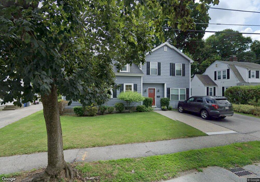
17 Wilmot Rd Waltham, MA 02453
Warrendale NeighborhoodEstimated Value: $1,016,000 - $1,396,000
2
Beds
3
Baths
3,174
Sq Ft
$374/Sq Ft
Est. Value
About This Home
This home is located at 17 Wilmot Rd, Waltham, MA 02453 and is currently estimated at $1,186,212, approximately $373 per square foot. 17 Wilmot Rd is a home located in Middlesex County with nearby schools including James Fitzgerald Elementary School, John W. Mcdevitt Middle School, and Waltham Sr High School.
Ownership History
Date
Name
Owned For
Owner Type
Purchase Details
Closed on
Jun 16, 2020
Sold by
Hubbard Ronald F and Hubbard Valerie L
Bought by
Ronald F Hubbard Jr Lt
Current Estimated Value
Purchase Details
Closed on
Apr 30, 1998
Sold by
Papas John S and Papas Cheryl
Bought by
Hubbard Ronald F
Home Financials for this Owner
Home Financials are based on the most recent Mortgage that was taken out on this home.
Original Mortgage
$181,800
Interest Rate
7.04%
Mortgage Type
Purchase Money Mortgage
Create a Home Valuation Report for This Property
The Home Valuation Report is an in-depth analysis detailing your home's value as well as a comparison with similar homes in the area
Home Values in the Area
Average Home Value in this Area
Purchase History
| Date | Buyer | Sale Price | Title Company |
|---|---|---|---|
| Ronald F Hubbard Jr Lt | -- | None Available | |
| Hubbard Ronald F | $202,000 | -- |
Source: Public Records
Mortgage History
| Date | Status | Borrower | Loan Amount |
|---|---|---|---|
| Previous Owner | Hubbard Ronald F | $181,800 | |
| Previous Owner | Hubbard Ronald F | $131,000 | |
| Previous Owner | Hubbard Ronald F | $131,000 |
Source: Public Records
Tax History Compared to Growth
Tax History
| Year | Tax Paid | Tax Assessment Tax Assessment Total Assessment is a certain percentage of the fair market value that is determined by local assessors to be the total taxable value of land and additions on the property. | Land | Improvement |
|---|---|---|---|---|
| 2025 | $10,119 | $1,030,400 | $461,300 | $569,100 |
| 2024 | $9,649 | $1,000,900 | $439,000 | $561,900 |
| 2023 | $9,727 | $942,500 | $416,600 | $525,900 |
| 2022 | $9,895 | $888,200 | $386,900 | $501,300 |
| 2021 | $22,119 | $860,500 | $386,900 | $473,600 |
| 2020 | $9,632 | $806,000 | $357,100 | $448,900 |
| 2019 | $9,148 | $722,600 | $349,500 | $373,100 |
| 2018 | $20,848 | $658,800 | $323,600 | $335,200 |
| 2017 | $7,901 | $629,100 | $293,900 | $335,200 |
| 2016 | $6,935 | $566,600 | $253,000 | $313,600 |
| 2015 | $4,531 | $345,100 | $223,200 | $121,900 |
Source: Public Records
Map
Nearby Homes
- 71 Gleason St
- 78 Barbara Rd Unit 1
- 21 Warren St Unit 2-4
- 253 Sycamore St Unit 253
- 5 Chapman St
- 38 Carey Ave Unit 3
- 38 Carey Ave Unit 6
- 63-65 Evans St
- 186 Lexington St Unit 8
- 51 Harrington St Unit 51
- 51 Harrington St Unit 53
- 57 Pierce Rd Unit 57
- 20 Rosedale Rd
- 109 A Lexington St
- 172 Westminster Ave Unit 1
- 1 Bridgham Ave
- 27 Oakland St
- 220 Westminster Ave
- 27-29 Edenfield Ave
- 59 Farnum Rd