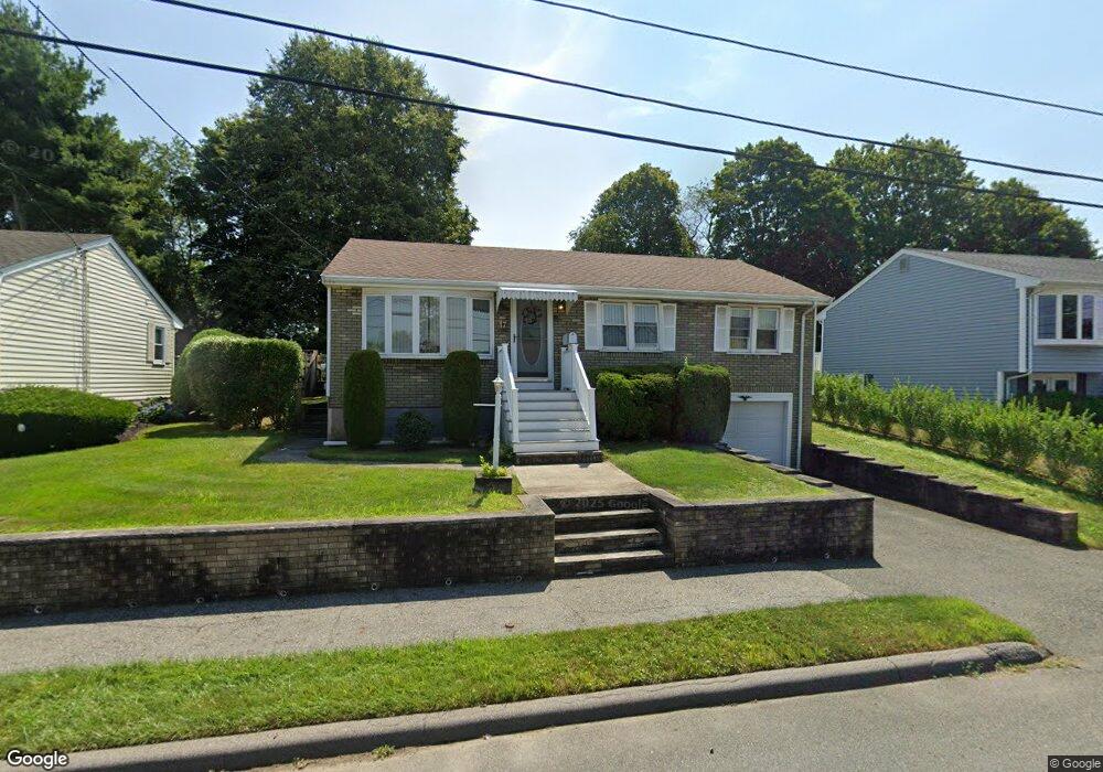
17 Wiseman Dr Peabody, MA 01960
Estimated Value: $598,710 - $653,000
3
Beds
1
Bath
1,040
Sq Ft
$604/Sq Ft
Est. Value
About This Home
This home is located at 17 Wiseman Dr, Peabody, MA 01960 and is currently estimated at $628,178, approximately $604 per square foot. 17 Wiseman Dr is a home located in Essex County with nearby schools including Peabody Veterans Memorial High School, St John The Baptist School, and Bishop Fenwick High School.
Ownership History
Date
Name
Owned For
Owner Type
Purchase Details
Closed on
Apr 25, 2013
Sold by
Marini Joyce F
Bought by
Marini Michael
Current Estimated Value
Purchase Details
Closed on
May 8, 2009
Sold by
Marini Joyce F and Marini Michael
Bought by
Marini Joyce F
Purchase Details
Closed on
Mar 16, 2009
Sold by
Marini Joyce F
Bought by
Marini Michael
Create a Home Valuation Report for This Property
The Home Valuation Report is an in-depth analysis detailing your home's value as well as a comparison with similar homes in the area
Home Values in the Area
Average Home Value in this Area
Purchase History
| Date | Buyer | Sale Price | Title Company |
|---|---|---|---|
| Marini Michael | -- | -- | |
| Marini Joyce F | -- | -- | |
| Marini Michael | -- | -- |
Source: Public Records
Mortgage History
| Date | Status | Borrower | Loan Amount |
|---|---|---|---|
| Previous Owner | Marini Michael | $93,700 | |
| Previous Owner | Marini Michael | $120,000 | |
| Previous Owner | Marini Michael | $55,000 |
Source: Public Records
Tax History Compared to Growth
Tax History
| Year | Tax Paid | Tax Assessment Tax Assessment Total Assessment is a certain percentage of the fair market value that is determined by local assessors to be the total taxable value of land and additions on the property. | Land | Improvement |
|---|---|---|---|---|
| 2025 | $4,751 | $513,100 | $227,600 | $285,500 |
| 2024 | $4,441 | $487,000 | $227,600 | $259,400 |
| 2023 | $4,263 | $447,800 | $203,200 | $244,600 |
| 2022 | $3,911 | $387,200 | $181,500 | $205,700 |
| 2021 | $3,854 | $367,400 | $165,000 | $202,400 |
| 2020 | $4,153 | $386,700 | $165,000 | $221,700 |
| 2019 | $3,825 | $347,400 | $165,000 | $182,400 |
| 2018 | $3,671 | $320,300 | $150,000 | $170,300 |
| 2017 | $3,544 | $301,400 | $150,000 | $151,400 |
| 2016 | $3,488 | $292,600 | $150,000 | $142,600 |
| 2015 | $3,102 | $252,200 | $146,200 | $106,000 |
Source: Public Records
Map
Nearby Homes
- 28 Sabino Farm Rd
- 29 Reynolds Rd
- 152 Endicott St
- 55 Pulaski St
- 27 Pulaski St
- 26 Colonial Rd
- 7 Rainbow Terrace
- 5 Colonial Rd
- 9 Endicott St Unit B
- 68 Prospect St Unit 14
- 90 Water St
- 0 Willowdale Ave Unit 73387007
- 33 Water St Unit 7
- 108 Abington Rd Unit 108
- 112 Abington Rd
- 10 Mill St
- 21 Emerson St
- 5 Tremont Place
- 8R Elm St Unit 2
- 4R Forest St