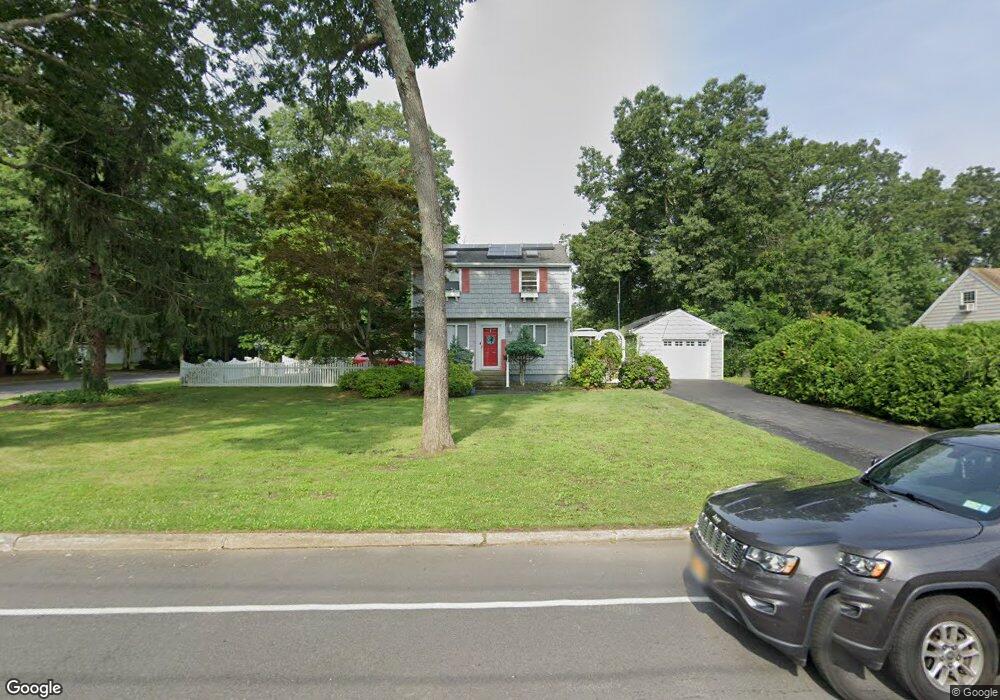
170 Brooksite Dr Smithtown, NY 11787
Estimated Value: $562,000 - $763,000
3
Beds
2
Baths
1,344
Sq Ft
$520/Sq Ft
Est. Value
About This Home
This home is located at 170 Brooksite Dr, Smithtown, NY 11787 and is currently estimated at $698,669, approximately $519 per square foot. 170 Brooksite Dr is a home located in Suffolk County with nearby schools including Hauppauge Middle School, Hauppauge High School, and Smithtown Christian School.
Ownership History
Date
Name
Owned For
Owner Type
Purchase Details
Closed on
May 19, 2021
Sold by
Leonard Regina V and Leonard John C
Bought by
Mediate Bryan J and Mediate Danielle I
Current Estimated Value
Home Financials for this Owner
Home Financials are based on the most recent Mortgage that was taken out on this home.
Original Mortgage
$477,000
Interest Rate
2.9%
Mortgage Type
Stand Alone Refi Refinance Of Original Loan
Create a Home Valuation Report for This Property
The Home Valuation Report is an in-depth analysis detailing your home's value as well as a comparison with similar homes in the area
Home Values in the Area
Average Home Value in this Area
Purchase History
| Date | Buyer | Sale Price | Title Company |
|---|---|---|---|
| Mediate Bryan J | -- | None Available | |
| Mediate Bryan J | -- | None Available |
Source: Public Records
Mortgage History
| Date | Status | Borrower | Loan Amount |
|---|---|---|---|
| Previous Owner | Mediate Bryan J | $477,000 |
Source: Public Records
Tax History Compared to Growth
Tax History
| Year | Tax Paid | Tax Assessment Tax Assessment Total Assessment is a certain percentage of the fair market value that is determined by local assessors to be the total taxable value of land and additions on the property. | Land | Improvement |
|---|---|---|---|---|
| 2024 | $8,259 | $4,400 | $175 | $4,225 |
| 2023 | $8,259 | $4,400 | $175 | $4,225 |
| 2022 | $5,966 | $4,100 | $175 | $3,925 |
| 2021 | $5,966 | $4,100 | $175 | $3,925 |
| 2020 | $3,238 | $4,100 | $175 | $3,925 |
| 2019 | $3,238 | $0 | $0 | $0 |
| 2018 | -- | $4,100 | $175 | $3,925 |
| 2017 | $6,002 | $4,100 | $175 | $3,925 |
| 2016 | $5,983 | $4,100 | $175 | $3,925 |
| 2015 | -- | $4,100 | $175 | $3,925 |
| 2014 | -- | $4,100 | $175 | $3,925 |
Source: Public Records
Map
Nearby Homes
- 1 Wood Ln
- 206 Brooksite Dr
- 12 Wadsworth Place
- 44 Apple Tree Dr
- 365 Route 111 Unit A-4
- 365 Route 111 Unit C-4
- 32 Merrivale Dr
- 305 Devon Ln
- 61 Redan Dr
- 31 Sterling Ln
- 639 Townline Rd
- 9 Graystone Ln
- 24 Sandra Dr
- 6 Keystone Ct
- 16 Wildwood Ln
- 18 Thrush Dr
- 64 Brooksite Dr
- 10 N Hoffman Ln
- 13 Garvey Dr
- 76 Burlington Blvd
- 176 Brooksite Dr
- 286 Rose Ln
- 166 Brooksite Dr
- 173 Brooksite Dr
- 175 Brooksite Dr
- 171 Brooksite Dr
- 306 Rose Ln
- 287 Rose Ln
- 178 Brooksite Dr
- 177 Brooksite Dr
- 169 Brooksite Dr
- 164 Brooksite Dr
- 267 Lilac Ln
- 307 Rose Ln
- 288 Rose Ln
- 179 Brooksite Dr
- 167 Brooksite Dr
- 268 Lilac Ln
- 180 Brooksite Dr
- 308 Rose Ln