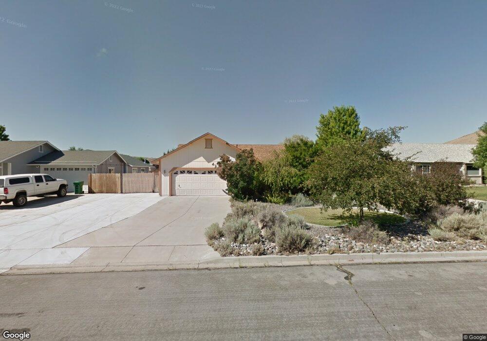
170 Carlene Dr Sparks, NV 89436
Eagle Canyon-Pebble Creek NeighborhoodEstimated Value: $505,354 - $542,000
3
Beds
2
Baths
1,486
Sq Ft
$355/Sq Ft
Est. Value
About This Home
This home is located at 170 Carlene Dr, Sparks, NV 89436 and is currently estimated at $526,839, approximately $354 per square foot. 170 Carlene Dr is a home located in Washoe County with nearby schools including Jesse Hall Elementery School, Yvonne Shaw Middle School, and Spanish Springs High School.
Ownership History
Date
Name
Owned For
Owner Type
Purchase Details
Closed on
Jun 17, 2002
Sold by
Warden John L
Bought by
Warden John L and Warden William Christi L
Current Estimated Value
Purchase Details
Closed on
Dec 15, 1997
Sold by
Warden John Logan and Warden John L
Bought by
Warden John Logan
Home Financials for this Owner
Home Financials are based on the most recent Mortgage that was taken out on this home.
Original Mortgage
$87,300
Interest Rate
7.22%
Create a Home Valuation Report for This Property
The Home Valuation Report is an in-depth analysis detailing your home's value as well as a comparison with similar homes in the area
Home Values in the Area
Average Home Value in this Area
Purchase History
| Date | Buyer | Sale Price | Title Company |
|---|---|---|---|
| Warden John L | -- | -- | |
| Warden John Logan | -- | Western Title Company Inc |
Source: Public Records
Mortgage History
| Date | Status | Borrower | Loan Amount |
|---|---|---|---|
| Closed | Warden John Logan | $87,300 |
Source: Public Records
Tax History
| Year | Tax Paid | Tax Assessment Tax Assessment Total Assessment is a certain percentage of the fair market value that is determined by local assessors to be the total taxable value of land and additions on the property. | Land | Improvement |
|---|---|---|---|---|
| 2026 | $1,680 | $95,359 | $40,495 | $54,864 |
| 2024 | $2,180 | $93,656 | $36,610 | $57,046 |
| 2023 | $1,584 | $91,132 | $37,065 | $54,067 |
| 2022 | $2,058 | $77,346 | $32,340 | $45,007 |
| 2021 | $1,998 | $68,622 | $23,380 | $45,242 |
| 2020 | $1,889 | $66,803 | $23,135 | $43,668 |
| 2019 | $1,835 | $64,646 | $22,050 | $42,596 |
| 2018 | $1,781 | $57,593 | $15,750 | $41,843 |
| 2017 | $1,729 | $56,716 | $14,630 | $42,086 |
| 2016 | $1,686 | $56,686 | $13,615 | $43,071 |
| 2015 | $427 | $54,410 | $11,165 | $43,245 |
| 2014 | $1,640 | $52,269 | $10,395 | $41,874 |
| 2013 | -- | $47,703 | $6,230 | $41,473 |
Source: Public Records
Map
Nearby Homes
- 260 Veronica Ave Unit 3
- 155 Veronica Ave Unit 2
- 345 Tina Cir
- 284 Arlis Place
- 282 Arlis Place
- 390 Ember Dr
- 450 Brayfield St
- 391 Taryn Dr
- 355 Hyacinth St
- 30 N Patterson Place
- 10755 Sand Dune Dr
- 1055 Spoonbill Dr
- 480 Aswan St
- 1023 Carico Valley Place
- 1359 Nightingale Way Unit 4
- 65 Rook Ct
- 3630 Grove Springs Dr
- 1981 Lanstar Dr
- 5680 Dolores Dr
- 5700 Dolores Dr
- 160 Carlene Dr
- 180 Carlene Dr
- 150 Carlene Dr
- 190 Carlene Dr
- 175 Carlene Dr
- 210 Veronica Ave
- 220 Veronica Ave
- 165 Carlene Dr
- 200 Veronica Ave
- 185 Carlene Dr
- 140 Carlene Dr
- 200 Carlene Dr
- 190 Veronica Ave
- 155 Carlene Dr
- 195 Carlene Dr
- 230 Veronica Ave
- 180 Veronica Ave
- 205 Carlene Dr
- 210 Carlene Dr
- 145 Carlene Dr Unit 1
Your Personal Tour Guide
Ask me questions while you tour the home.