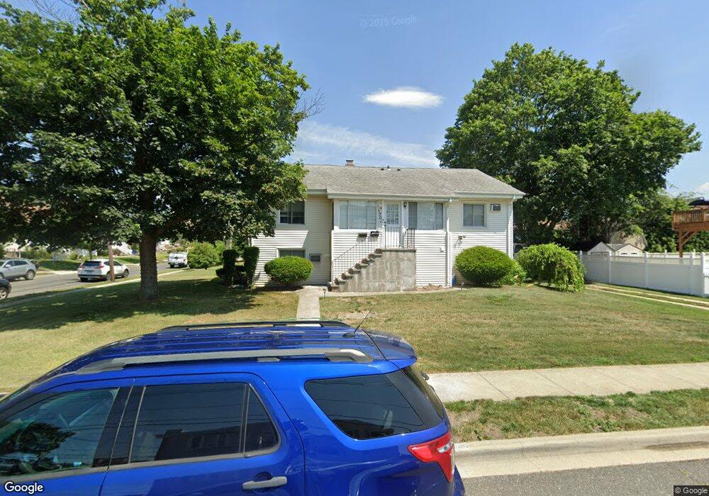
170 Cedar St Unit 1 Freeport, NY 11520
Estimated Value: $767,368 - $803,000
2
Beds
1
Bath
1,128
Sq Ft
$696/Sq Ft
Est. Value
About This Home
This home is located at 170 Cedar St Unit 1, Freeport, NY 11520 and is currently estimated at $785,184, approximately $696 per square foot. 170 Cedar St Unit 1 is a home located in Nassau County with nearby schools including Columbus Avenue School, Caroline G. Atkinson Intermediate School, and John W Dodd Middle School.
Ownership History
Date
Name
Owned For
Owner Type
Purchase Details
Closed on
Oct 8, 2024
Sold by
Paul Johnny K
Bought by
Paul Johnny K
Current Estimated Value
Purchase Details
Closed on
Dec 12, 2022
Sold by
Interfaith Nutrition Network Inc
Bought by
Paul Johnny K
Home Financials for this Owner
Home Financials are based on the most recent Mortgage that was taken out on this home.
Original Mortgage
$498,750
Interest Rate
6.96%
Mortgage Type
New Conventional
Create a Home Valuation Report for This Property
The Home Valuation Report is an in-depth analysis detailing your home's value as well as a comparison with similar homes in the area
Home Values in the Area
Average Home Value in this Area
Purchase History
| Date | Buyer | Sale Price | Title Company |
|---|---|---|---|
| Paul Johnny K | -- | Fidelity Natl Title Ins Co | |
| Paul Johnny K | -- | Fidelity Natl Title Ins Co | |
| Paul Johnny K | $665,000 | First American Title Ins Co | |
| Paul Johnny K | $665,000 | First American Title Ins Co | |
| Paul Johnny K | $665,000 | First American Title Ins Co | |
| Paul Johnny K | $665,000 | First American Title Ins Co |
Source: Public Records
Mortgage History
| Date | Status | Borrower | Loan Amount |
|---|---|---|---|
| Previous Owner | Paul Johnny K | $498,750 |
Source: Public Records
Tax History
| Year | Tax Paid | Tax Assessment Tax Assessment Total Assessment is a certain percentage of the fair market value that is determined by local assessors to be the total taxable value of land and additions on the property. | Land | Improvement |
|---|---|---|---|---|
| 2025 | $17,369 | $373 | $228 | $145 |
| 2024 | -- | $391 | $238 | $153 |
Source: Public Records
Map
Nearby Homes
- 173 Cedar St
- 119 S Bay Ave
- 48 Saint Marks Ave
- 265 Roosevelt Ave
- 267 Roosevelt Ave
- 403 S Bayview Ave
- 463 S Bayview Ave
- 160 Saint Marks Ave
- 310 Miller Ave
- 322 Miller Ave
- 153 Westend Ave
- 494 S Ocean Ave Unit 1M
- 494 S Ocean Ave Unit 1H
- 494 S Ocean Ave Unit 3A
- 587 S Bayview Ave
- 226 Westside Ave Unit B
- 525 Ray St
- 31 Anchor St Unit Y
- 210 Westend Ave Unit 8B
- 210 Westend Ave Unit 8A
- 170 Cedar St
- 138 S Bay Ave
- 160 Cedar St
- 85 Westside Ave
- 134 S Bay Ave
- 94 Westside Ave
- 98 Westside Ave
- 90 Westside Ave
- 150 S Bay Ave
- 159 Cedar St
- 107 Westside Ave
- 75 Westside Ave
- 86 Westside Ave
- 120 S Bay Ave
- 120 S Bay Ave Unit B
- 120 S Bay Ave Unit A
- 104 Westside Ave
- 154 S Bay Ave
- 82 Westside Ave
- 93 Saint Marks Ave
Your Personal Tour Guide
Ask me questions while you tour the home.