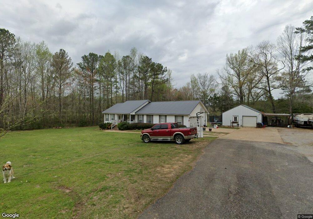
170 Christopher Dr Hamilton, AL 35570
Estimated Value: $200,000 - $296,000
Studio
--
Bath
1,736
Sq Ft
$145/Sq Ft
Est. Value
About This Home
This home is located at 170 Christopher Dr, Hamilton, AL 35570 and is currently estimated at $251,996, approximately $145 per square foot. 170 Christopher Dr is a home located in Marion County.
Ownership History
Date
Name
Owned For
Owner Type
Purchase Details
Closed on
Sep 30, 2016
Sold by
Wilbanks Clarence Dale and Wilbanks Nancy M
Bought by
Whisnat Brent Lee and Whisnat Hilary Michele
Current Estimated Value
Home Financials for this Owner
Home Financials are based on the most recent Mortgage that was taken out on this home.
Original Mortgage
$130,099
Outstanding Balance
$104,000
Interest Rate
3.37%
Mortgage Type
FHA
Estimated Equity
$147,996
Purchase Details
Closed on
Sep 28, 2016
Sold by
Wilbanks Clarence Dale and Wilbanks Nancy M
Bought by
Wilbanks Clarence Dale and Wilbanks Nancy M
Home Financials for this Owner
Home Financials are based on the most recent Mortgage that was taken out on this home.
Original Mortgage
$130,099
Outstanding Balance
$104,000
Interest Rate
3.37%
Mortgage Type
FHA
Estimated Equity
$147,996
Create a Home Valuation Report for This Property
The Home Valuation Report is an in-depth analysis detailing your home's value as well as a comparison with similar homes in the area
Home Values in the Area
Average Home Value in this Area
Purchase History
| Date | Buyer | Sale Price | Title Company |
|---|---|---|---|
| Whisnat Brent Lee | $132,500 | -- | |
| Wilbanks Clarence Dale | -- | -- |
Source: Public Records
Mortgage History
| Date | Status | Borrower | Loan Amount |
|---|---|---|---|
| Open | Whisnat Brent Lee | $130,099 |
Source: Public Records
Tax History
| Year | Tax Paid | Tax Assessment Tax Assessment Total Assessment is a certain percentage of the fair market value that is determined by local assessors to be the total taxable value of land and additions on the property. | Land | Improvement |
|---|---|---|---|---|
| 2024 | $623 | $19,580 | $2,960 | $16,620 |
| 2023 | $580 | $19,580 | $2,960 | $16,620 |
| 2022 | $491 | $16,820 | $2,960 | $13,860 |
| 2021 | $491 | $16,820 | $2,960 | $13,860 |
| 2020 | $424 | $14,720 | $2,820 | $11,900 |
| 2019 | $424 | $14,720 | $2,820 | $11,900 |
| 2018 | $399 | $13,940 | $2,820 | $11,120 |
| 2017 | $399 | $13,940 | $2,820 | $11,120 |
| 2016 | $12 | $420 | $420 | $0 |
| 2015 | $12 | $420 | $420 | $0 |
| 2014 | $12 | $420 | $420 | $0 |
| 2013 | $12 | $420 | $420 | $0 |
Source: Public Records
Map
Nearby Homes
- 173 Garland Way
- 121 Brookhaven Ln
- Harmony Way
- 0 Military Trail
- 359 Academy Dr
- 183 Southvale Ave
- 2.3 Acres County Highway 29
- 0 W Co Hwy 73 Unit 525241
- 260 Bexar Ave W
- 2674 Military St N
- 222 1st St NW
- 845 Evergreen Rd
- 400 Bexar Ave W
- 252 County Road 1
- 541 2nd Ave SW
- 114 Spring St
- 32 Acres Hwy 43
- 793 Bexar Ave W
- 170 Rosedale Cir
- 241 Bama Rd
- 281 Garland Way
- 1030 Grandview Dr
- 1190 Grandview Dr
- 1131 Grandview Dr
- 308 Garland Way
- 1165 Grandview Dr
- 253 N Riverside Dr
- 229 N Riverside Dr
- 303 N Riverside Dr
- 260 N Riverside Dr
- 161 N Riverside Dr
- 294 N Riverside Dr
- 216 N Riverside Dr
- 192 N Riverside Dr
- 327 N Riverside Dr
- 0 Highway 43 Unit 1807847
- 915 Grandview Dr
- 864 Grandview Dr
- 361 N Riverside Dr
- 1495 Military St N
Your Personal Tour Guide
Ask me questions while you tour the home.