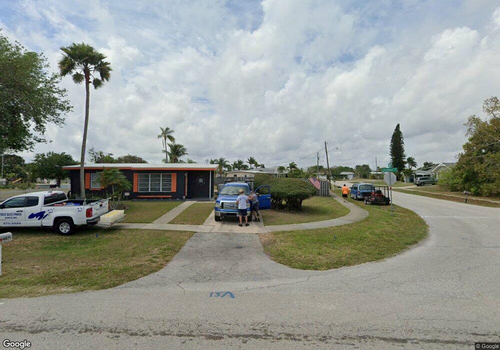
170 Dow Rd Port Charlotte, FL 33952
Estimated Value: $207,000 - $219,000
2
Beds
1
Bath
690
Sq Ft
$306/Sq Ft
Est. Value
About This Home
This home is located at 170 Dow Rd, Port Charlotte, FL 33952 and is currently estimated at $211,281, approximately $306 per square foot. 170 Dow Rd is a home located in Charlotte County with nearby schools including Peace River Elementary School, Port Charlotte Middle School, and Charlotte High School.
Ownership History
Date
Name
Owned For
Owner Type
Purchase Details
Closed on
Jan 7, 2022
Sold by
Dion Jeanne M
Bought by
Evans Richard F and Calabrese Laurene Mary
Current Estimated Value
Home Financials for this Owner
Home Financials are based on the most recent Mortgage that was taken out on this home.
Original Mortgage
$77,000
Outstanding Balance
$3,472
Interest Rate
3.12%
Mortgage Type
Purchase Money Mortgage
Estimated Equity
$207,809
Purchase Details
Closed on
Sep 5, 2019
Sold by
Perodeau Robert A
Bought by
Perodeau Robert A and Dion Jeanne M
Purchase Details
Closed on
Apr 15, 1997
Sold by
Smith Tooger and Smith Nancy
Bought by
Perodeau Robert A
Purchase Details
Closed on
May 31, 1996
Sold by
Smith Tooger and Smith Nancy
Bought by
Smith Tooger and Smith Nancy
Purchase Details
Closed on
Dec 6, 1995
Sold by
Sigo Richard C and Sigo Hallie Gay
Bought by
Smith Tooger and Smith Nancy C
Create a Home Valuation Report for This Property
The Home Valuation Report is an in-depth analysis detailing your home's value as well as a comparison with similar homes in the area
Home Values in the Area
Average Home Value in this Area
Purchase History
| Date | Buyer | Sale Price | Title Company |
|---|---|---|---|
| Evans Richard F | $110,000 | Mizell & Mays Law Firm Pa | |
| Perodeau Robert A | -- | None Available | |
| Perodeau Robert A | $47,700 | -- | |
| Smith Tooger | -- | -- | |
| Smith Tooger | $25,000 | -- |
Source: Public Records
Mortgage History
| Date | Status | Borrower | Loan Amount |
|---|---|---|---|
| Open | Evans Richard F | $77,000 |
Source: Public Records
Tax History Compared to Growth
Tax History
| Year | Tax Paid | Tax Assessment Tax Assessment Total Assessment is a certain percentage of the fair market value that is determined by local assessors to be the total taxable value of land and additions on the property. | Land | Improvement |
|---|---|---|---|---|
| 2023 | $4,267 | $222,410 | $93,500 | $128,910 |
| 2022 | $3,584 | $180,606 | $59,500 | $121,106 |
| 2021 | $1,330 | $95,181 | $0 | $0 |
| 2020 | $1,293 | $93,867 | $0 | $0 |
| 2019 | $1,221 | $91,757 | $0 | $0 |
| 2018 | $1,102 | $90,046 | $0 | $0 |
| 2017 | $1,094 | $88,194 | $41,650 | $46,544 |
| 2016 | $1,961 | $83,621 | $0 | $0 |
| 2015 | $1,813 | $76,019 | $0 | $0 |
| 2014 | $1,750 | $70,045 | $0 | $0 |
Source: Public Records
Map
Nearby Homes
- 370 Weber Terrace
- 330 Weber Terrace
- 181 Duxbury Ave
- 520 Sharon Cir
- 4371 Conway Blvd
- 471 Sharon Cir
- 141 Duxbury Ave
- 4198 Gardner Dr
- 4213 Gardner Dr
- 551 Lindley Terrace
- 581 Lindley Terrace
- 400 Dalton Blvd
- 554 Lindley Terrace
- 645 Dalton Blvd
- 3688 Brooklyn Ave
- 300 Dalton Blvd
- 700 Floral Ln
- 681 Dalton Blvd
- 4238 Gardner Dr
- 640 Dalton Blvd