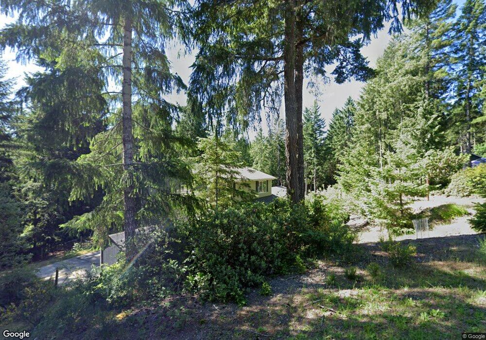
170 E Jarrett Dr Shelton, WA 98584
Estimated Value: $463,000 - $609,000
3
Beds
3
Baths
1,768
Sq Ft
$301/Sq Ft
Est. Value
About This Home
This home is located at 170 E Jarrett Dr, Shelton, WA 98584 and is currently estimated at $532,340, approximately $301 per square foot. 170 E Jarrett Dr is a home located in Mason County with nearby schools including Pioneer Primary School, Pioneer Intermediate/Middle School, and Abba's Garden Academy.
Ownership History
Date
Name
Owned For
Owner Type
Purchase Details
Closed on
May 24, 2007
Sold by
Reynolds Martin T and Johnson Jason E
Bought by
Birklid Nathan A and Birklid Erin M
Current Estimated Value
Home Financials for this Owner
Home Financials are based on the most recent Mortgage that was taken out on this home.
Original Mortgage
$225,000
Outstanding Balance
$136,935
Interest Rate
6.18%
Mortgage Type
Construction
Estimated Equity
$395,405
Create a Home Valuation Report for This Property
The Home Valuation Report is an in-depth analysis detailing your home's value as well as a comparison with similar homes in the area
Purchase History
| Date | Buyer | Sale Price | Title Company |
|---|---|---|---|
| Birklid Nathan A | $70,000 | Land Title Co |
Source: Public Records
Mortgage History
| Date | Status | Borrower | Loan Amount |
|---|---|---|---|
| Open | Birklid Nathan A | $225,000 |
Source: Public Records
Tax History
| Year | Tax Paid | Tax Assessment Tax Assessment Total Assessment is a certain percentage of the fair market value that is determined by local assessors to be the total taxable value of land and additions on the property. | Land | Improvement |
|---|---|---|---|---|
| 2025 | $3,024 | $388,790 | $52,170 | $336,620 |
| 2024 | $3,024 | $388,915 | $65,745 | $323,170 |
| 2023 | $3,103 | $353,340 | $47,820 | $305,520 |
| 2022 | $2,464 | $255,665 | $38,565 | $217,100 |
| 2021 | $3,195 | $255,665 | $38,565 | $217,100 |
| 2020 | $3,141 | $306,480 | $37,805 | $268,675 |
| 2018 | $2,493 | $218,500 | $33,980 | $184,520 |
| 2017 | $2,471 | $218,500 | $33,980 | $184,520 |
| 2016 | $2,419 | $223,680 | $30,240 | $193,440 |
| 2015 | $2,217 | $218,475 | $29,295 | $189,180 |
| 2014 | -- | $222,725 | $29,925 | $192,800 |
| 2013 | -- | $219,600 | $28,350 | $191,250 |
Source: Public Records
Map
Nearby Homes
- 0 E Willchar Blvd
- 30 E Lakeway Dr
- 0 E Strong Rd Unit 34 24009692
- 0 E Strong Rd Unit 43 24316768
- 0 E Strong Rd Unit 34 NWM2308734
- 0 E Strong Rd Unit 43 NWM2308755
- 11 E Geist Point Rd
- 161 E Geist Point Dr
- 51 E Lynda Ln W
- 10 E Lynda Ln W
- 1671 E Phillips Lake Loop Rd
- 1651 E Phillips Lake Loop Rd
- 721 E Phillips Lake Loop Rd
- 1581 E Phillips Lake Loop Rd
- 621 E Strong Rd
- 6191 E Pickering Rd
- 0 Lot 5 E Pickering Rd
- 3451 E Pickering Rd
- 382 E Bergeson Rd
- 130 E Old Winery Rd
- 150 E Jarrett Dr
- 180 E Jarrett Dr
- 161 E Jarrett Dr
- 131 E Jarrett Dr
- 100 E Jarrett Dr
- 136 E Skyview Ct
- 60 E Jarrett Dr
- 51 E Jarrett Dr
- 90 E Skyview Ct
- 42 E Jarrett Dr
- 141 E Skyview Ct
- 131 E Skyview Ct
- 0 XX E Skyview Ct
- 41 E Jarrett Dr
- 81 E Skyview Ct
- 40 E Jarrett Dr
- 60 E Skyview Ct
- 100 E Spencer Ridge Place
- 140 E Spencer Ridge Place
- 41 E Skyview Ct
Your Personal Tour Guide
Ask me questions while you tour the home.