170 Farmwood Ln Harwood, MD 20776
Davidsonville NeighborhoodEstimated Value: $943,000 - $998,316
--
Bed
1
Bath
3,224
Sq Ft
$301/Sq Ft
Est. Value
About This Home
This home is located at 170 Farmwood Ln, Harwood, MD 20776 and is currently estimated at $970,439, approximately $301 per square foot. 170 Farmwood Ln is a home with nearby schools including Central Elementary School, Central Middle School, and South River High School.
Ownership History
Date
Name
Owned For
Owner Type
Purchase Details
Closed on
Mar 18, 2021
Sold by
Kellner Jesse D and Kellner Lindsey
Bought by
Deafenbaugh Michael and Deafenbaugh Ashley
Current Estimated Value
Home Financials for this Owner
Home Financials are based on the most recent Mortgage that was taken out on this home.
Original Mortgage
$850,000
Outstanding Balance
$778,518
Interest Rate
3.75%
Mortgage Type
Construction
Estimated Equity
$191,921
Purchase Details
Closed on
May 25, 2017
Sold by
Coastline Capital & Property Management
Bought by
Kellner Jesse D and Kellner Lindsey J
Home Financials for this Owner
Home Financials are based on the most recent Mortgage that was taken out on this home.
Original Mortgage
$500,000
Interest Rate
3.97%
Mortgage Type
New Conventional
Purchase Details
Closed on
Jan 21, 2003
Sold by
Nagle Lynn Bird F
Bought by
Revelle John S
Create a Home Valuation Report for This Property
The Home Valuation Report is an in-depth analysis detailing your home's value as well as a comparison with similar homes in the area
Home Values in the Area
Average Home Value in this Area
Purchase History
| Date | Buyer | Sale Price | Title Company |
|---|---|---|---|
| Deafenbaugh Michael | $275,146 | Homeland Title & Escrow Ltd | |
| Kellner Jesse D | $625,000 | Railway Title Llc | |
| Revelle John S | -- | -- |
Source: Public Records
Mortgage History
| Date | Status | Borrower | Loan Amount |
|---|---|---|---|
| Open | Deafenbaugh Michael | $850,000 | |
| Previous Owner | Kellner Jesse D | $500,000 |
Source: Public Records
Tax History Compared to Growth
Tax History
| Year | Tax Paid | Tax Assessment Tax Assessment Total Assessment is a certain percentage of the fair market value that is determined by local assessors to be the total taxable value of land and additions on the property. | Land | Improvement |
|---|---|---|---|---|
| 2025 | $611 | $709,167 | -- | -- |
| 2024 | $611 | $667,433 | $0 | $0 |
| 2023 | $577 | $625,700 | $240,900 | $384,800 |
| 2022 | $6,385 | $611,000 | $0 | $0 |
| 2021 | $1,734 | $165,900 | $165,900 | $0 |
| 2020 | $0 | $167,600 | $167,600 | $0 |
| 2019 | $1,702 | $162,600 | $0 | $0 |
| 2018 | $1,598 | $157,600 | $0 | $0 |
| 2017 | $29 | $2,800 | $0 | $0 |
| 2016 | -- | $2,800 | $0 | $0 |
| 2015 | -- | $2,800 | $0 | $0 |
| 2014 | -- | $2,800 | $0 | $0 |
Source: Public Records
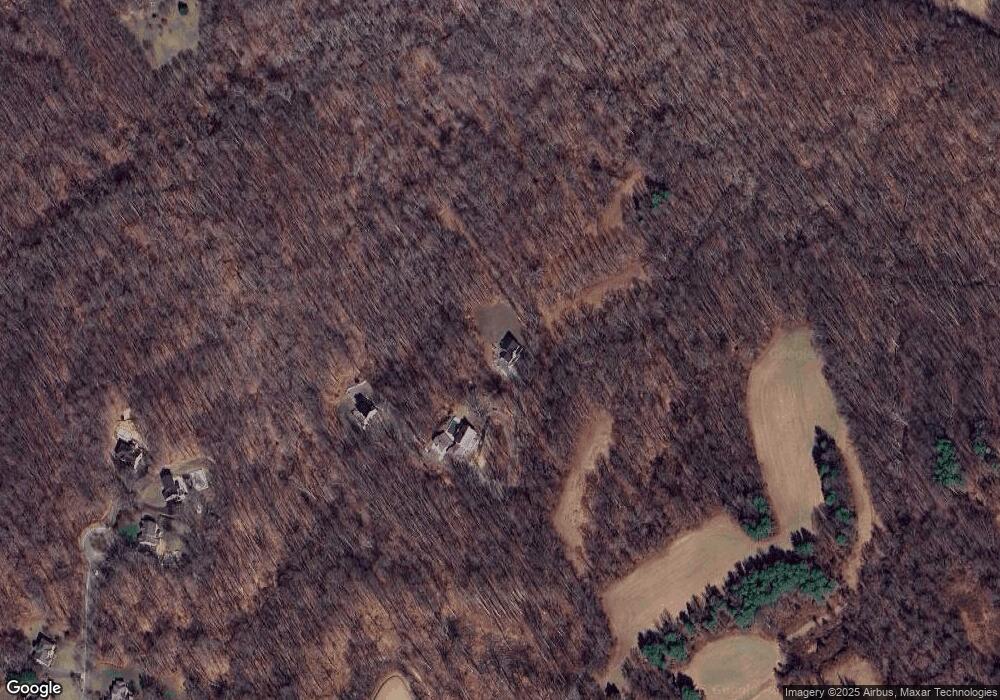
Map
Nearby Homes
- 3410 Blandford Way
- 3721 Solomons Island Rd
- 131 Brick Church Rd
- 3451 Blandford Way
- 3611 Solomons Island Rd
- 114 Jordan Taylor Ln
- 13 Jessie Rd
- 3509 Russell Thomas Ln
- 315 Brick Church Rd
- 3980 Solomons Island Rd
- 3508 Marthas Vineyard Way
- 3514 Williamsburg Rd
- 184 Old Bight Ct
- 3565 Riva Rd
- 3203 Brezina Place
- 737 Appomattox Rd W
- 3160 Rolling Rd
- 873 Benjamin Branch
- 80 Beach Dr
- 3886 Greenmeadow Ln
- 2009 Gresham Ln
- 2007 Gresham Ln
- 2013 Gresham Ln
- 3403 Blandford Way
- 3401 Blandford Way
- 2011 Gresham Ln
- 2005 Gresham Ln
- 2015 Gresham Ln
- 3405 Blandford Way
- 2003 Gresham Ln
- 2017 Gresham Ln
- 2006 Gresham Ln
- 3638 Solomons Island Rd
- 2008 Gresham Ln
- 2001 Gresham Ln
- 2010 Gresham Ln
- 2004 Gresham Ln
- 2019 Gresham Ln
- 2000 Gresham Ln
- 2002 Gresham Ln