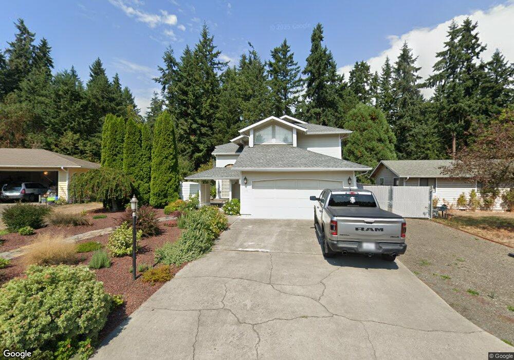
170 Fir Cir Port Hadlock, WA 98339
Port Hadlock-Irondale NeighborhoodEstimated Value: $499,000 - $609,000
3
Beds
3
Baths
1,780
Sq Ft
$304/Sq Ft
Est. Value
About This Home
This home is located at 170 Fir Cir, Port Hadlock, WA 98339 and is currently estimated at $541,669, approximately $304 per square foot. 170 Fir Cir is a home located in Jefferson County with nearby schools including Chimacum Creek Primary School, Chimacum School Pi Program, and Chimacum Elementary School.
Create a Home Valuation Report for This Property
The Home Valuation Report is an in-depth analysis detailing your home's value as well as a comparison with similar homes in the area
Home Values in the Area
Average Home Value in this Area
Tax History Compared to Growth
Tax History
| Year | Tax Paid | Tax Assessment Tax Assessment Total Assessment is a certain percentage of the fair market value that is determined by local assessors to be the total taxable value of land and additions on the property. | Land | Improvement |
|---|---|---|---|---|
| 2024 | $3,476 | $461,389 | $99,750 | $361,639 |
| 2023 | $3,476 | $435,201 | $90,000 | $345,201 |
| 2022 | $3,163 | $382,217 | $85,000 | $297,217 |
| 2021 | $3,120 | $351,901 | $76,700 | $275,201 |
| 2020 | $2,869 | $326,344 | $70,800 | $255,544 |
| 2019 | $2,602 | $290,958 | $64,900 | $226,058 |
| 2018 | $2,851 | $265,401 | $59,000 | $206,401 |
| 2017 | $2,366 | $255,572 | $59,000 | $196,572 |
| 2016 | $2,369 | $225,856 | $54,000 | $171,856 |
| 2015 | $2,390 | $225,856 | $54,000 | $171,856 |
| 2014 | -- | $231,256 | $59,400 | $171,856 |
| 2013 | -- | $210,235 | $54,000 | $156,235 |
Source: Public Records
Map
Nearby Homes
- 31 2nd St
- 31 Petes Spur
- 51 Thomas Dr
- 611 Cedar Ave Unit 51
- 611 Cedar Ave Unit 33
- 611 Cedar Ave Unit 62
- 781 Irondale Rd
- 0 E Eugene St
- 1210 Irondale Rd
- 371 E Price St
- 0 NKA C St
- 52 E Moore St
- 0 901024068 Unit NWM2387187
- 0 901024068 Unit Port Hadlock WA 9833
- 13 Loretta Ln
- 12 Loretta Ln
- 153 Sunset Meadows Ln
- 177 Sunset Meadows Ln
- 10955 NKA Rhody Dr
- 2 Lylus Ln